Information
Landmark: Barron Gorge National ParkCity: Cairns
Country: Australia
Continent: Australia
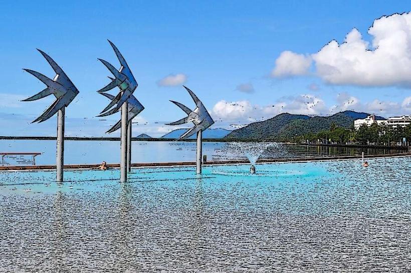
Barron Gorge National Park, Cairns, Australia, Australia
Barron Gorge National Park is a protected area situated west of Cairns, Queensland, Australia. It encompasses a significant portion of the Barron River catchment.
Visual Characteristics
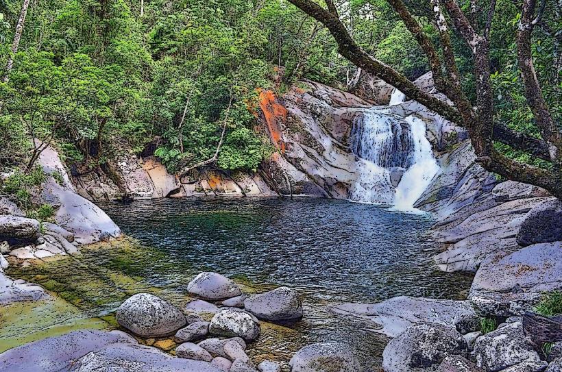
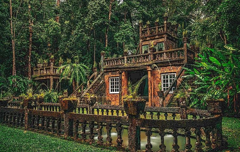
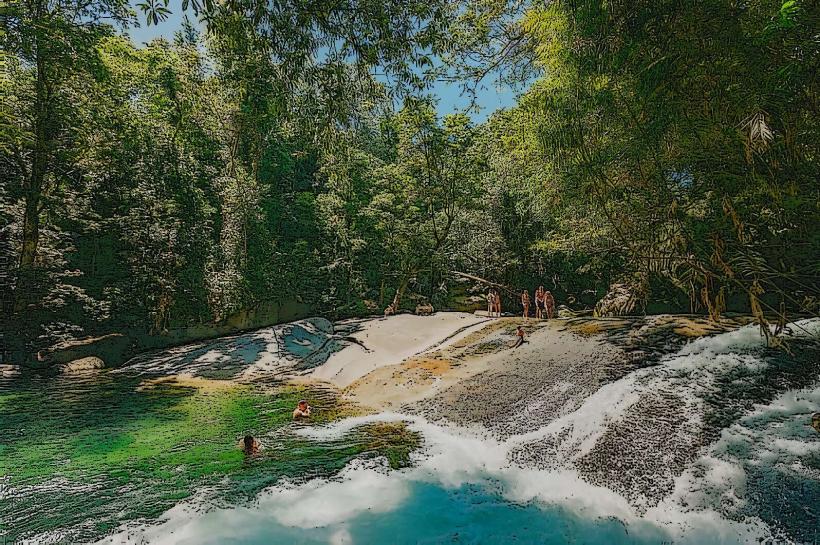
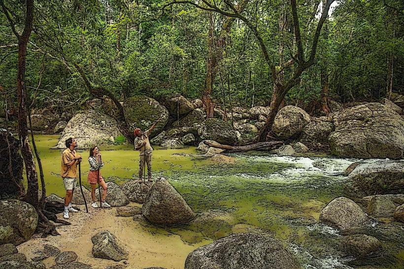
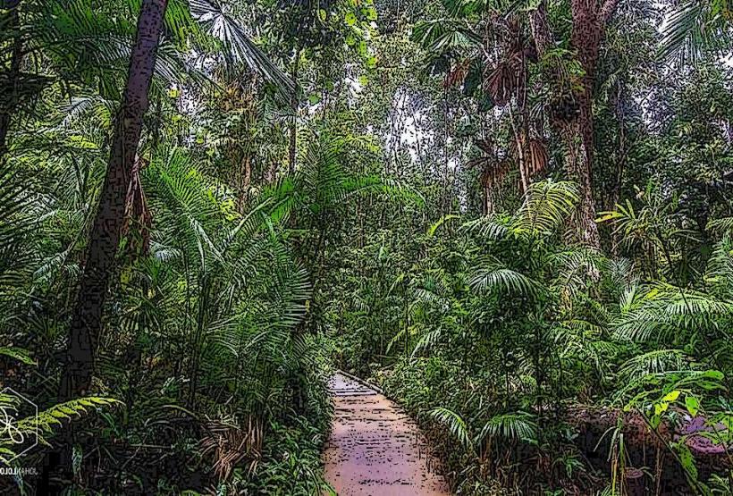
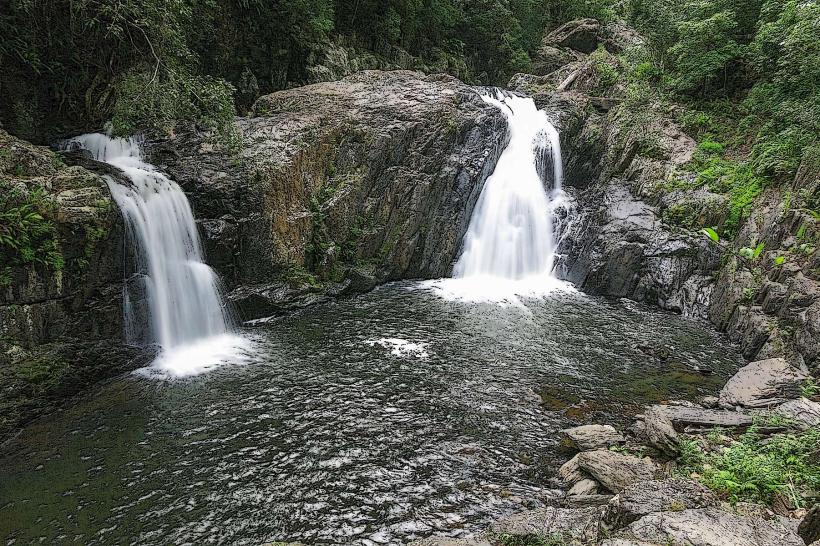
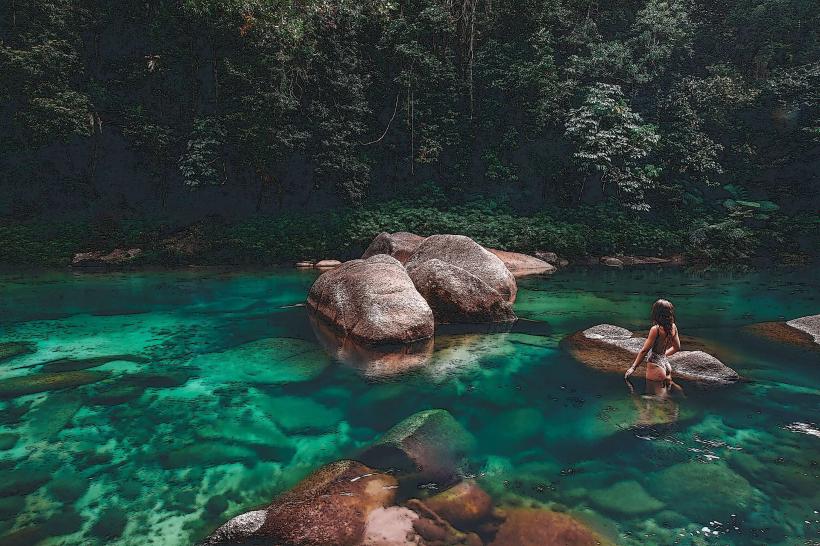
The park features a steep-sided gorge carved by the Barron River. The gorge walls are characterized by dense tropical rainforest vegetation, with a canopy dominated by various eucalyptus species and ferns. The Barron River itself is a fast-flowing waterway, often appearing brown due to sediment load, particularly after rainfall. Rock formations within the gorge are primarily metamorphic and igneous, displaying varied textures and colors.
Location & Access Logistics
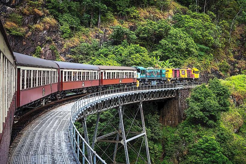
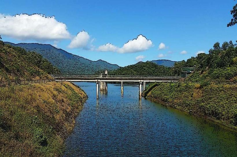
The park is located approximately 20 kilometers west of Cairns city center. Access is primarily via the Captain Cook Highway (State Route 1) and then turning onto the Kuranda Range Road (State Route 59). The drive from Cairns takes approximately 30 minutes. Parking is available at designated lookouts and trailheads, including the Barron Gorge Lookout and the Din Din Nature Walk car park. Public transport options include the Kuranda Scenic Railway, which stops at the Barron Falls station, and various tour buses operating to Kuranda village that pass through the park.
Historical & Ecological Origin
Barron Gorge National Park was established to protect the Barron River and its surrounding rainforest ecosystem. The gorge was formed by the erosive power of the Barron River over millions of years. The area is part of the Wet Tropics World Heritage Area, recognized for its exceptional biodiversity and ancient rainforests, which have existed in a relatively stable environment for over 135 million years. The Barron Falls are a significant feature, with the river cascading over a series of drops.
Key Highlights & Activities
Activities include hiking on marked trails such as the Din Din Nature Walk (1.2km loop) and the Barron Gorge Lookout Trail (0.5km return). Photography of the Barron Falls and the gorge landscape is a primary activity. The Kuranda Scenic Railway offers a scenic journey through the gorge, with a stop at Barron Falls station. Birdwatching is also a popular pursuit due to the diverse avian population.
Infrastructure & Amenities
Restrooms are available at the Barron Gorge Lookout and Din Din Nature Walk car park. Shaded picnic areas are provided at the Barron Gorge Lookout. Cell phone signal is intermittent within the gorge; 4G/5G coverage is generally unreliable. There are no food vendors within the park itself, but facilities are available in the nearby town of Kuranda.
Best Time to Visit
The best time of day for photography of the Barron Falls is generally mid-morning when the sun angle provides good illumination without harsh shadows. The dry season, from May to October, offers the most pleasant weather with lower humidity and less rainfall. During the wet season (November to April), the falls are at their most voluminous, but access may be restricted due to heavy rain and potential flooding.
Facts & Legends
The Barron Falls are a significant source of hydroelectric power, with the Barron Gorge Hydroelectric Power Station located downstream. A local Aboriginal legend tells of a giant serpent that carved the gorge with its body as it moved through the landscape.
Nearby Landmarks
- Kuranda Scenic Railway (0.1km North-East)
- Kuranda Village (3km North-West)
- Barron Falls Lookout (0.2km North)
- Davies Creek National Park (15km South-West)
- Daintree Rainforest (70km North)