Information
Landmark: Balkan MountainsCity: Pirot
Country: Serbia
Continent: Europe
Balkan Mountains, Pirot, Serbia, Europe
The Balkan Mountains, also known as Stara Planina, are a major mountain range forming a natural border between Serbia and Bulgaria. Near Pirot, Serbia, the range features diverse ecosystems and significant elevation changes.
Visual Characteristics
The mountains are characterized by dense forests of beech, oak, and pine at lower altitudes, transitioning to subalpine meadows and pastures at higher elevations. Rock formations are predominantly limestone and sandstone, resulting in varied geological features including gorges, caves, and numerous waterfalls. The landscape exhibits vibrant green hues in spring and summer, shifts to golden and red in autumn, and becomes snow-covered white in winter. Peaks in the Serbian section near Pirot reach over 2,000 meters, with Midžor being the highest at 2,169 meters.
Location & Access Logistics
The Balkan Mountains are situated directly east and north of Pirot. Access from Pirot is primarily via regional roads such as Road 221 (Pirot-Knjaževac) or local roads leading towards villages like Temska, Topli Do, and Dojkinci. The foothills commence approximately 10-15 km east of Pirot city center. Parking is limited to designated areas near trailheads and villages; informal roadside parking is common. Local bus lines connect Pirot with some villages in the foothills, but reaching higher mountain areas typically requires a private vehicle or organized transport.
Historical & Ecological Origin
The Balkan Mountains are part of the Alpine-Himalayan orogenic belt, formed during the Alpine orogeny. They are a fold mountain range, primarily composed of Mesozoic and Cenozoic sedimentary rocks. Ecologically, the Serbian section is classified as a significant biodiversity hotspot within the Stara Planina Nature Park, hosting diverse flora and fauna, including endemic species.
Key Highlights & Activities
Hiking is possible on numerous marked trails, including routes to peaks like Midžor and along the Stara Planina Transversal. Waterfall exploration includes visiting sites such as Bigar Waterfall, Tupavica Waterfall, and Pilj Waterfall. Skiing is available at the Stara Planina Ski Resort during winter months. Caving is an option, though many require specialized equipment and permits. Rivers like the Temštica and Visočica offer fly fishing opportunities.
Infrastructure & Amenities
Restrooms are available in larger villages and at the Stara Planina Ski Resort. Facilities are scarce in other areas. Shade is abundant in forested areas; open meadows and higher peaks offer minimal natural shade. Cell phone signal (4G/5G) is generally available in villages and along main roads, but can be intermittent or absent in remote valleys and high mountain areas. Small shops and traditional restaurants (kafanas) are found in villages such as Temska, Topli Do, and Dojkinci, with limited options in higher elevations.
Best Time to Visit
For hiking and nature exploration, May to October offers the most favorable weather conditions. Photography is best in early morning or late afternoon for soft light, particularly in spring and autumn. Autumn (September-October) provides vibrant foliage colors. Skiing is optimal from December to March, depending on snow conditions. Waterfalls are most impressive in spring (April-May) when snowmelt increases water volume.
Facts & Legends
A local legend states that the Stara Planina (Old Mountain) is home to mythical creatures and ancient spirits, guarding its hidden treasures and medicinal herbs. One specific tale speaks of a giant serpent, the "Zmaj," protecting a golden spring deep within the mountains.
Nearby Landmarks
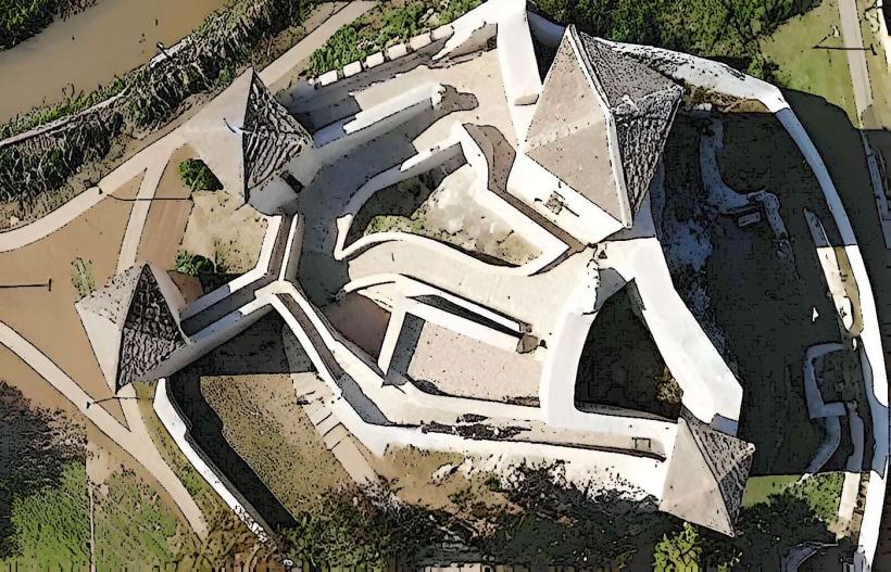
- Pirot Fortress (Kale): 12km West
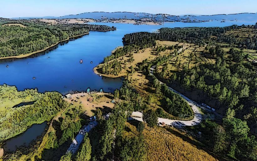
- Zavojsko Lake: 25km Northwest
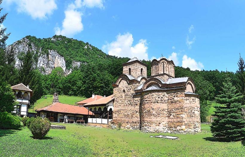
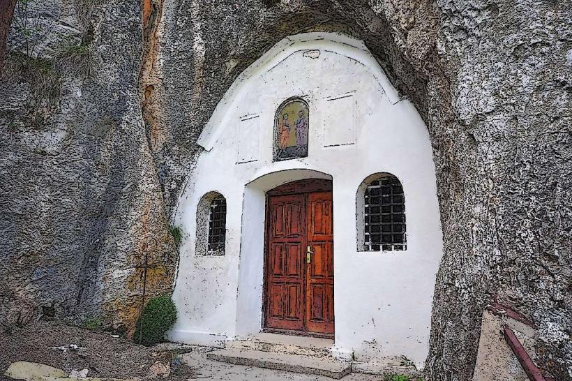
- Sukovo Monastery: 18km South
- Pogana Monastery: 30km East
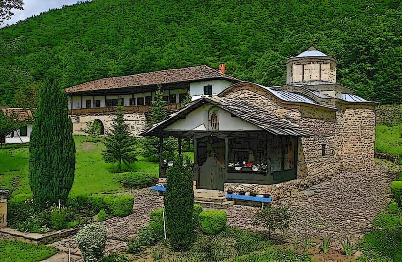
- Temska Monastery: 20km North