Information
Landmark: Bel Ombre Public BeachCity: Bel Ombre
Country: Mauritius
Continent: Africa
Bel Ombre Public Beach, Bel Ombre, Mauritius, Africa
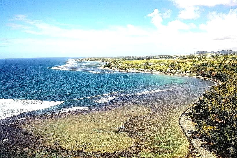
Bel Ombre Public Beach is located on the southwest coast of Mauritius in the Savanne District. It is situated within a region known for luxury resorts and a rugged, preserved natural coastline.
Visual Characteristics
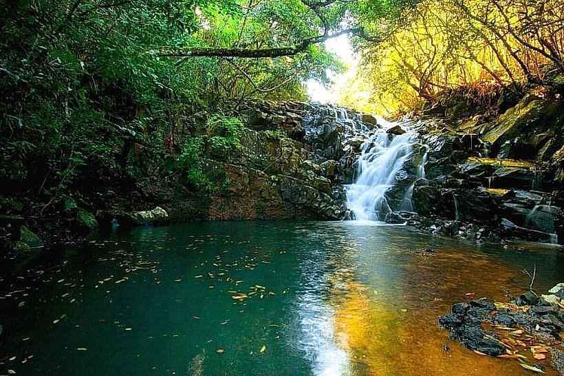
The beach is characterized by a narrow strip of white coralline sand bordered by a vast, shallow turquoise lagoon. The water is protected by a coral reef located several hundred meters offshore, resulting in calm, wave-free conditions near the beach. The shoreline is lined with dense groves of casuarina (filao) trees, providing extensive natural shade. The surrounding landscape includes views of the lush, forested hills of the Black River Gorges and the nearby Frederica Nature Reserve.
Location & Access Logistics
The beach is situated on the B9 coastal road (Savanne Road), approximately 45 kilometers from Port Louis and 35 kilometers from Sir Seewoosagur Ramgoolam International Airport. It is easily accessible by car, with a paved public parking area located directly off the main road. Public bus transport is available via the 120 line connecting Baie du Cap to Chemin Grenier, with a stop located near the public beach entrance.
Historical & Ecological Origin
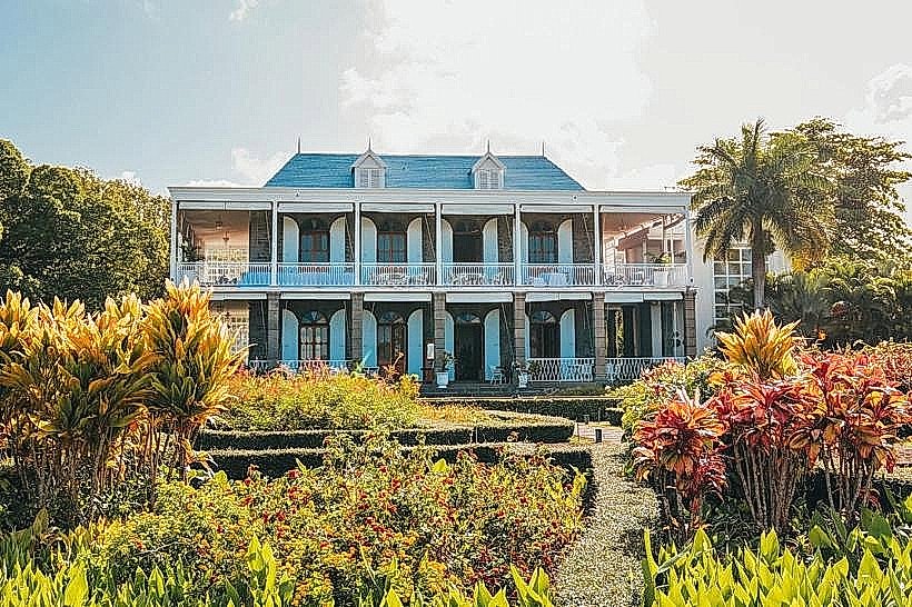
Bel Ombre was historically a center for sugar cane production, with the estate dating back to the late 18th century. The beach is geologically part of the island's older volcanic series, featuring basaltic rock formations interspersed with coral sediment. Ecologically, the lagoon is a vital habitat for seagrasses and serves as a feeding ground for various species of rays and small reef fish. The area has transitioned from an agricultural outpost to a primary destination for eco-tourism and high-end hospitality.
Key Highlights & Activities
Swimming: The shallow, calm waters make it an ideal location for families and non-swimmers.
Kitesurfing: The region is a well-known spot for kitesurfing, particularly during the winter months when the trade winds are consistent.
Snorkeling: While the immediate shore is sandy, small coral patches are reachable by swimming toward the outer lagoon.
Picnicking: The shaded areas under the filao trees are a popular site for local families, especially during weekends.
Infrastructure & Amenities
Public infrastructure includes a dedicated restroom and shower block and paved pedestrian access. 4G and 5G cellular coverage is stable across the beach area. There are several small snack stands and "roulottes" (food trucks) in the vicinity of the parking area, offering local street food and fresh coconut water. High-end dining options are available at the adjacent resort properties.
Best Time to Visit
The best time for swimming and clear visibility is during the Mauritian summer (November to April). For wind-based sports, the months of June through September offer the most reliable conditions. Weekdays are typically very quiet, providing a secluded atmosphere compared to the more commercialized beaches in the north.
Facts & Legends
The name "Bel Ombre" (Beautiful Shade) is attributed to the cooling effect of the dense coastal vegetation and the shadows cast by the mountains over the coastal plain in the late afternoon. A local historical fact is the proximity of the "Telfair" heritage site, named after Irish botanist Charles Telfair who significantly influenced the region's agricultural and social development in the 19th century.
Nearby Landmarks
Heritage Nature Reserve (Frederica): 1.5km North
Baie du Cap Maconde Viewpoint: 4.2km West
Chamarel Seven Coloured Earth: 8.5km Northwest
Le Morne Brabant: 12.0km West
Chemin Grenier: 6.0km East