Information
Landmark: Bregenzerwald (Bregenzer Forest)City: Bregenz
Country: Austria
Continent: Europe
Bregenzerwald (Bregenzer Forest), Bregenz, Austria, Europe
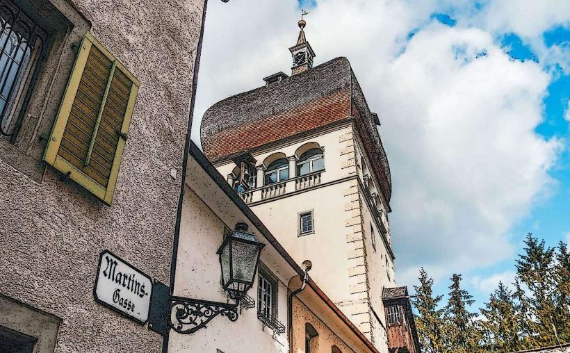
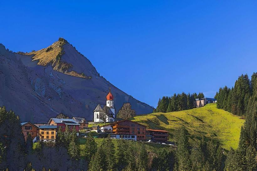
Bregenzerwald is a distinct geographical and cultural region in the state of Vorarlberg, situated southeast of Bregenz. It is characterized by a landscape of rolling pre-alpine hills and limestone massifs, divided into the "Lower Forest" (Vorderwald) and "Upper Forest" (Hinterwald).
Visual Characteristics
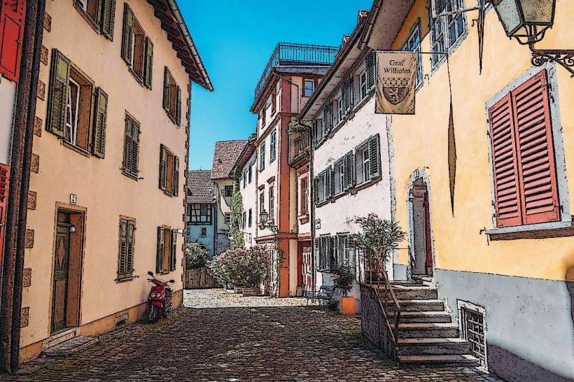
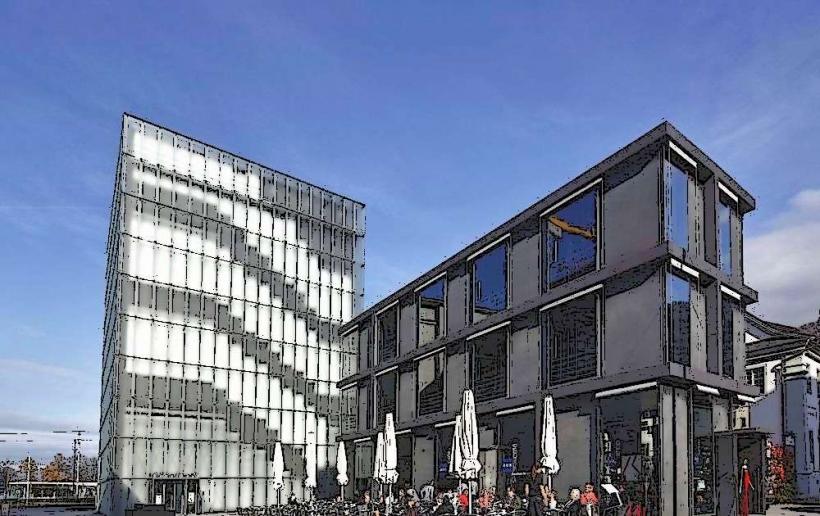
The region is defined by Bregenzerwald Architecture, a synthesis of traditional 18th-century shingled farmhouses and minimalist modern timber construction. The landscape features dense spruce and fir forests, high-altitude alpine pastures (Alpsen), and deep river gorges carved by the Bregenzer Ach.
Location & Access Logistics
The region begins approximately 15 km from Bregenz.
Vehicle: Primary access via the B200 (Bregenzerwaldstraße) through the Schwarzachtunnel or the L2 via the Bödele pass.
Public Transit: The Landbus Bregenzerwald system (Yellow Buses) provides high-frequency connections from Bregenz and Dornbirn railway stations to all 22 villages.
Historical Transit: The Wälderbähnle, a historic narrow-gauge steam railway, operates on a preserved section between Bezau and Schwarzenberg.
Historical & Ecological Origin
The region was settled in the 11th century by farmers who established a unique decentralized democratic government known as the Wälderrepublik (Forest Republic). Ecologically, the area is governed by "Three-Stage Agriculture" (Dreistufenwirtschaft), a migratory farming system recognized by UNESCO, where livestock move between valley farms, mid-altitude meadows (Maisäß), and high alpine pastures.
Key Highlights & Activities
Werkraum Bregenzerwald (Andelsbuch): A modern hall designed by Peter Zumthor showcasing the region's world-class craftsmanship and furniture design.
Bregenzerwald Cheese Route (Käsestraße): A network of over 160 farmers and cheesemakers specializing in Bergkäse (mountain cheese).
Architecture Trails: Specific walking routes in villages like Krumbach (noted for its international bus stop designs) and Hittisau.
Outdoor Sports: Extensive skiing in the Damüls-Mellau area and canyoning in the Bregenzer Ach.
Infrastructure & Amenities
Villages are equipped with high-standard tourist infrastructure, including wellness hotels and artisanal bakeries. 5G cellular coverage is available in valley centers but can be intermittent in high-altitude forest zones. The "Bregenzerwald Guest Card" (Summer) provides free access to all cable cars and public buses for visitors staying three nights or more.
Best Time to Visit
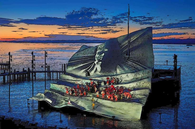
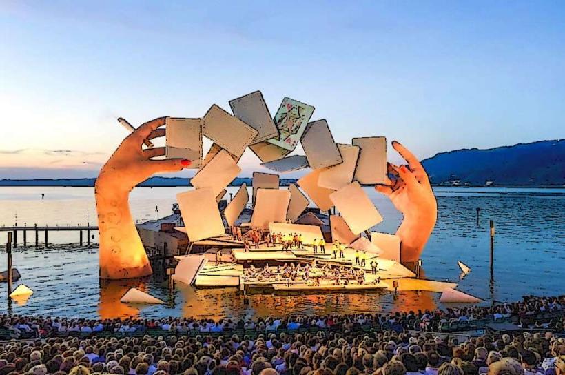
Summer (June–September): Optimal for high-altitude hiking and the "Schubertiade" music festival in Schwarzenberg.
Winter (December–March): Reliable snow cover for skiing and winter hiking.
Autumn: Critical for observing the Alpabtrieb (ceremonial cattle drives) in mid-September.
Facts & Legends
A significant historical event is the Women’s Battle of Bezau during the Thirty Years' War, where local women reportedly dressed in white and fought off Swedish invaders. Technically, the region is a global leader in sustainable timber engineering, with local firms exporting prefabricated wooden structures worldwide.
Nearby Landmarks
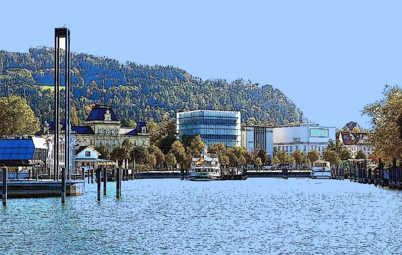
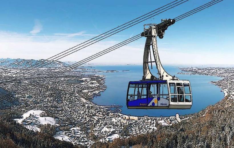
Pfänder Mountain – 15.0 km Northwest
Lake Constance – 18.0 km Northwest
Dornbirn (Karren Mountain) – 12.0 km West
Arlberg Pass – 45.0 km Southeast
Kanonenweg (Historic Path) – Various locations along the Bregenzer Ach