Information
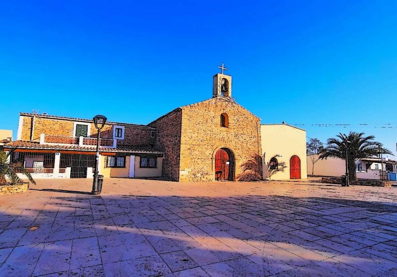
Landmark: Cala SaonaCity: Sant Ferran de Ses Roques
Country: Balearic Islands
Continent: Europe
Cala Saona, Sant Ferran de Ses Roques, Balearic Islands, Europe
Cala Saona is a coastal inlet located on the western side of Formentera, within the Balearic Islands archipelago.
Visual Characteristics
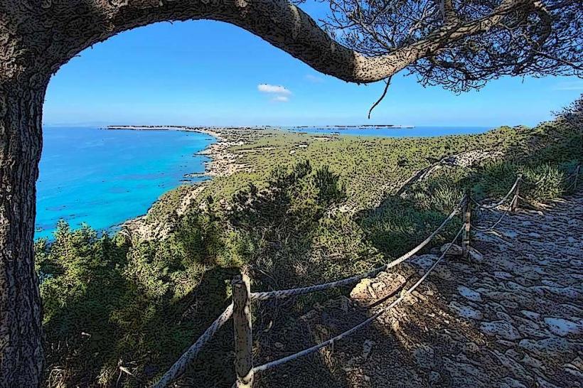
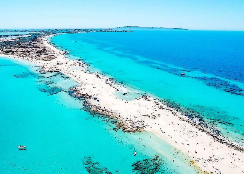
The cove features a sandy beach with fine, light-colored grains. The water exhibits a gradient of turquoise and deep blue hues, influenced by depth and sunlight. Rocky outcrops define the perimeter of the inlet, with sparse Mediterranean vegetation, including pine trees and shrubs, present on the surrounding slopes.
Location & Access Logistics
Cala Saona is situated approximately 5 kilometers southwest of Sant Ferran de Ses Roques. Access is via the PM-820 road, turning onto the unmarked track leading to the beach. Parking is available in a designated lot near the beach, which can become full during peak season. Public transport options are limited; bus line L2 stops at Sant Ferran, requiring a further taxi or bicycle journey.
Historical & Ecological Origin
Cala Saona is a natural geological formation, a small bay carved by marine erosion into the island's limestone bedrock. Its ecological significance lies in its role as a coastal habitat for local flora and fauna adapted to the Mediterranean climate.
Key Highlights & Activities
Swimming and sunbathing are primary activities. Snorkeling is possible in the clearer sections of the water. Kayak rentals are often available during the summer months. Observation of the coastal rock formations is also a point of interest.
Infrastructure & Amenities
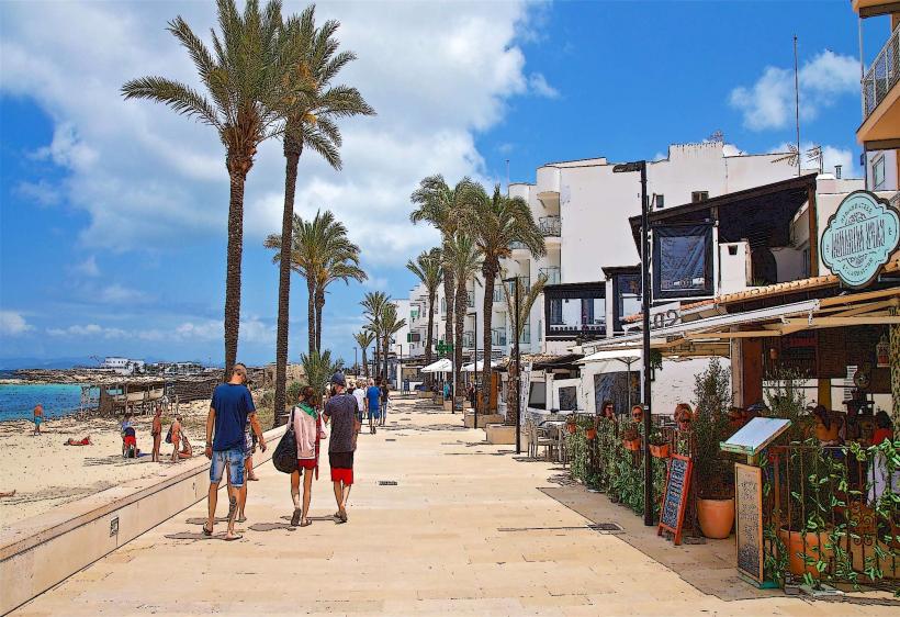
Restrooms are available near the parking area. Limited natural shade is provided by the surrounding vegetation. Cell phone signal (4G) is generally present. A small number of restaurants and beach bars are located adjacent to the beach.
Best Time to Visit
For photography, early morning or late afternoon offers optimal lighting conditions. The months of June, July, and September provide warm weather suitable for beach activities. High tide is generally preferred for swimming due to deeper water closer to shore.
Facts & Legends
Local lore suggests that the cove was historically used by fishermen for shelter during storms. The clarity of the water is a consistent feature, making it a popular spot for underwater photography.
Nearby Landmarks
- Cap de Barbaria Lighthouse (2.5km Southwest)
- Ses Illetes Beach (4.0km Northeast)
- La Savina Port (5.5km Northeast)
- Es Pujols (4.5km East)