Information
Landmark: Cavendish Bridge (Ville Noire Bridge)City: Mahebourg
Country: Mauritius
Continent: Africa
Cavendish Bridge (Ville Noire Bridge), Mahebourg, Mauritius, Africa
Cavendish Bridge
Cavendish Bridge, also known as the Ville Noire Bridge, is a historical landmark spanning the La Chaux River. It connects the village of Mahébourg to the suburb of Ville Noire in southeast Mauritius.
Visual Characteristics
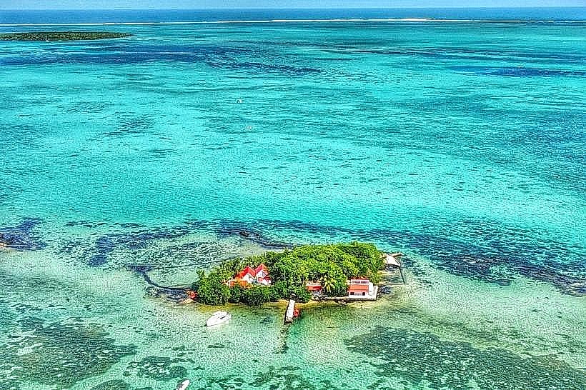
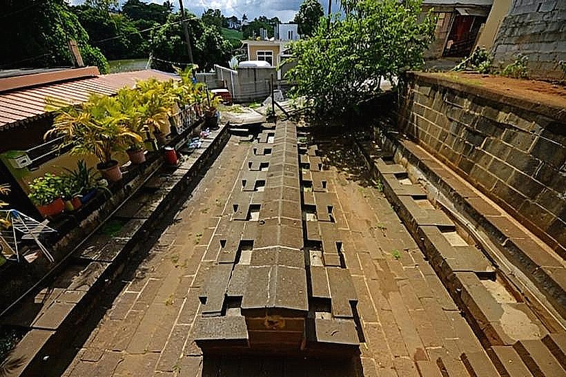
The bridge is a long, multi-span structure constructed from reinforced concrete, distinguished by its classical early 20th-century design. It features a narrow roadway and pedestrian walkways protected by solid concrete balustrades. Measuring approximately 155 meters in length, it was for a long period the longest bridge on the island. The bridge offers an unobstructed view of the Mahébourg bay, the Mouchoir Rouge Islet, and the Lion Mountain to the north.
Location & Access Logistics
The bridge is situated at the northern exit of Mahébourg's center, on the road leading toward Ville Noire and the Rault Biscuit Factory.
Access: It is a vital artery for local traffic and is easily crossed on foot or by vehicle.
Transport: Most buses traveling between Mahébourg and the eastern coast (e.g., toward Flacq) cross this bridge.
Pedestrians: Dedicated sidewalks are available on both sides of the bridge, though they are narrow.
Historical & Engineering Origin
Inaugurated in 1911, the bridge was named after Sir Cavendish Boyle, the British Governor of Mauritius at the time. It was built to replace an older, fragile wooden structure that was frequently damaged by floods and cyclones. At the time of its construction, it was considered a major engineering feat in the colony, utilizing advanced concrete techniques to withstand the heavy river flow of the La Chaux River during the rainy season.
Key Highlights & Activities
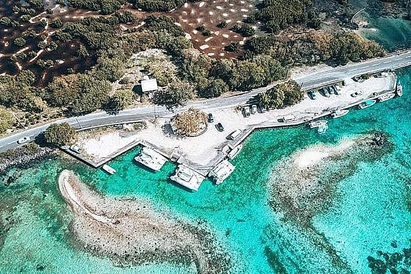
Panoramic Views: It is the premier spot for viewing the meeting point of the La Chaux River and the Indian Ocean.
Photography: Popular for capturing the "classic" Mahébourg landscape, including traditional pirogues anchored in the river mouth.
Fishing: Local residents are frequently seen fishing from the bridge's edges during high tide.
Infrastructure & Amenities
As a functional piece of transport infrastructure, the bridge itself has no commercial amenities.
Nearby Services: Shops, bakeries, and pharmacies are located within a 5-minute walk on either side of the bridge (Mahébourg or Ville Noire).
Lighting: The bridge is illuminated at night by street lamps.
Connectivity: 4G and 5G cellular coverage is excellent.
Best Time to Visit
The bridge is most scenic during high tide, when the river is full and the turquoise water of the bay pushes inland. Sunset is also a preferred time for walkers, as the temperature drops and the light reflects off the water toward the mountains.
Facts & Legends
A local historical fact is that the bridge's construction was necessitated by the growing sugar industry in the 19th and early 20th centuries, as ox-carts required a more stable crossing to transport sugar to the port. It is often referred to by locals as the "Bridge of the Hundred Pillars" (Le Pont aux Cent Colonnes), a testament to its imposing support structure.
Nearby Landmarks
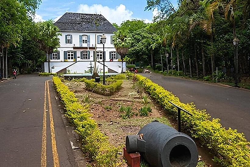
Rault Biscuit Factory: 0.5 km North
National History Museum: 0.6 km Northwest
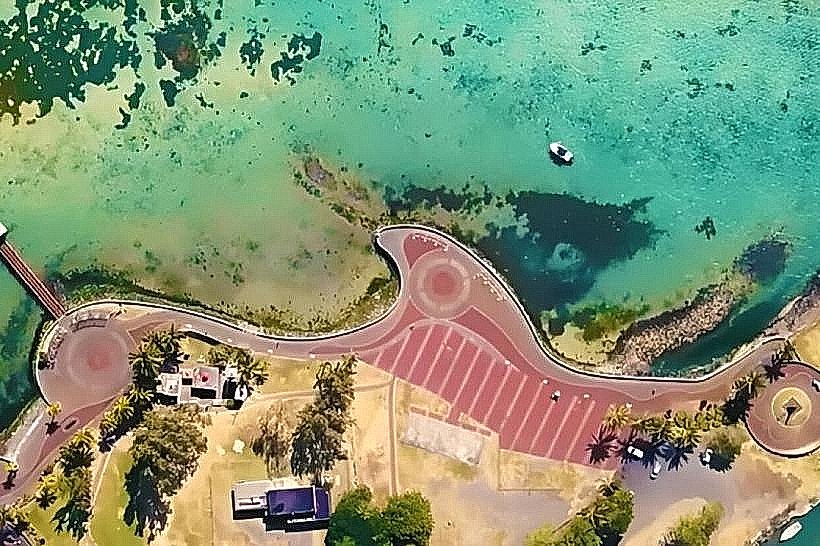
Mahébourg Waterfront: 0.8 km South
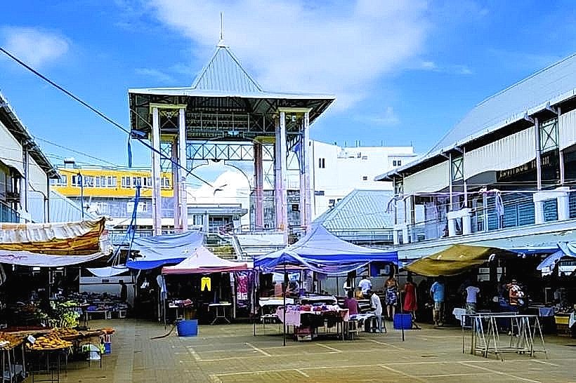
Mahebourg-market_mahebourg" class="underline">Mahebourg Market: 1.0 km South
Lion Mountain: 5.0 km North (visible from the bridge)