Information
Landmark: Cerro La IndiaCity: Santiago City
Country: Panama
Continent: North America
Cerro La India, Santiago City, Panama, North America
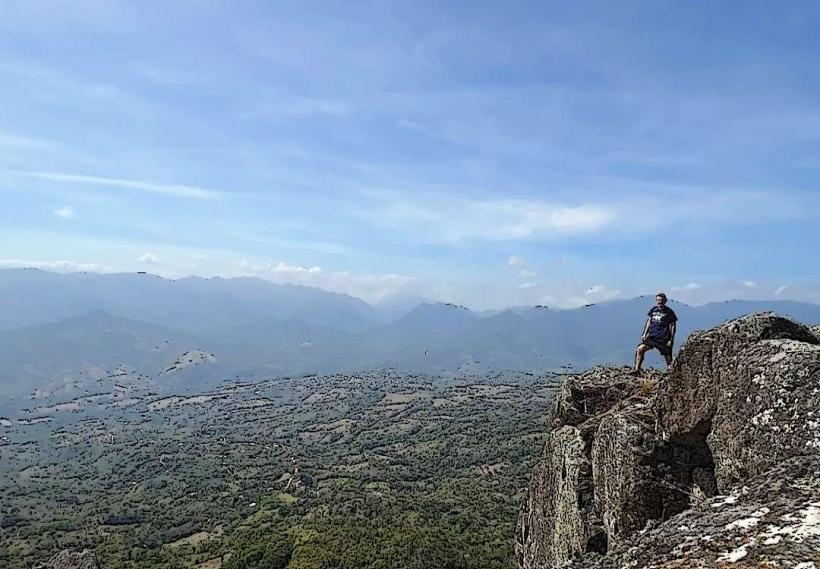
Cerro La India is a prominent geological formation situated within the administrative boundaries of Santiago City, Panama.
This natural elevation serves as a significant geographical feature in the region.
Visual Characteristics
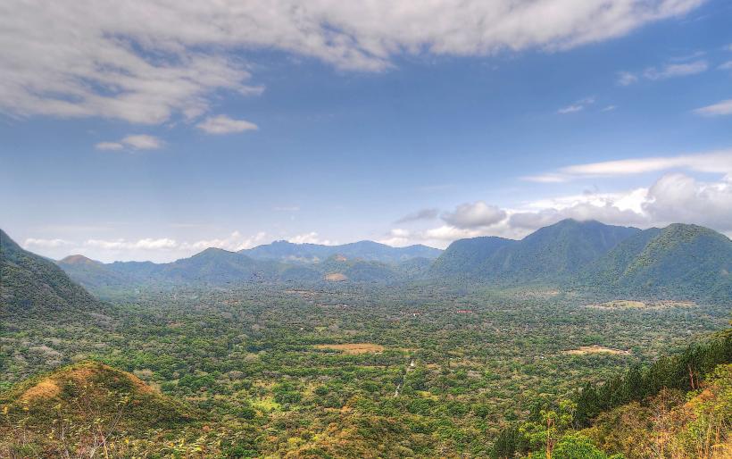
Cerro La India presents as a rounded, vegetated hill. Its slopes are covered in dense tropical foliage, primarily consisting of broadleaf trees and shrubs. The dominant color is green, with variations depending on the season and specific plant types. The base of the hill is composed of sedimentary rock, visible in exposed areas near the lower elevations.
Location & Access Logistics
The formation is located approximately 3 kilometers west of the central business district of Santiago City. Access is primarily via the Pan-American Highway (Route 1) heading west. Turn north onto Calle 12 de Octubre, then proceed for approximately 1.5 kilometers. A dirt access road, suitable for 4x4 vehicles, branches off to the north. Public transport to the base is limited; local buses serving the western outskirts of Santiago City stop within 1 kilometer of the access road turnoff. Parking is available at the trailhead, accommodating approximately 10-15 vehicles.
Historical & Ecological Origin
Cerro La India is a product of ancient geological processes, likely formed by the uplift and erosion of sedimentary rock layers over millions of years. Its ecological classification is tropical dry forest, characterized by a distinct wet and dry season influencing vegetation patterns. Indigenous populations historically utilized the higher ground for observation and resource gathering.
Key Highlights & Activities
Hiking to the summit is the primary activity. A marked trail, approximately 2 kilometers in length one-way, leads to the peak. The trail involves moderate elevation gain. Observation points along the trail offer panoramic views of Santiago City and the surrounding agricultural landscape. Birdwatching is also a notable activity due to the diverse avian population.
Infrastructure & Amenities
Basic amenities are present at the trailhead, including a small, unpaved parking area and a single, rudimentary information sign. There are no restroom facilities or designated shade structures at the base or along the trail. Cell phone signal (4G) is intermittent, becoming more reliable at higher elevations. No food vendors are located at or near the site; visitors should bring their own provisions.
Best Time to Visit
The optimal time for visiting is during the dry season, from December to April, to ensure trail conditions are firm and less prone to mud. The early morning hours, between 6:00 AM and 9:00 AM, provide the best lighting for photography due to softer sunlight and reduced heat. Midday temperatures can exceed 30 degrees Celsius.
Facts & Legends
Local folklore suggests the hill's name, "Cerro La India" (Indian Woman's Hill), originates from a legend of an indigenous woman who sought refuge on its slopes. A specific tip for visitors is to look for the distinct rock outcroppings approximately halfway up the trail, which offer a stable resting point and a clear view of the city's northern sector.
Nearby Landmarks
- Parque de Santiago (1.5km East)
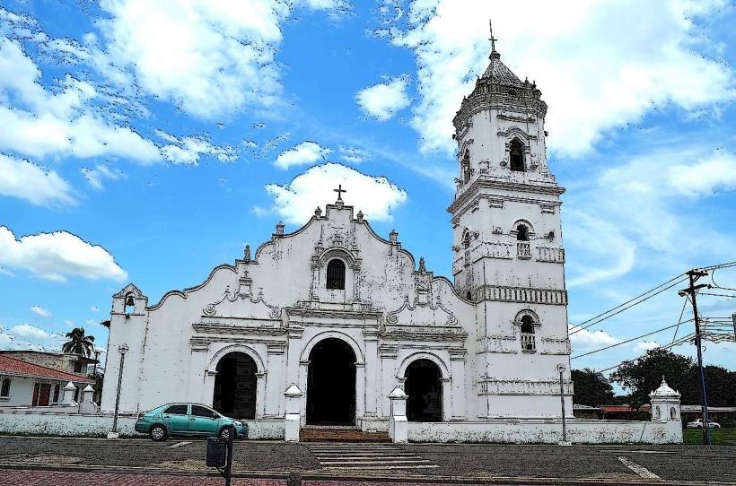
- Catedral de Santiago Apóstol (2.8km East)
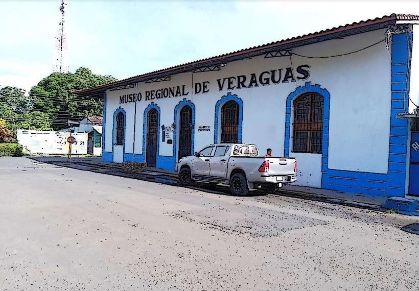
- Museo de Veraguas (3.0km East)
- Estadio de Santiago (3.2km Southeast)