Information
Landmark: Cerro Santa BárbaraCity: Oruro
Country: Bolivia
Continent: South America
Cerro Santa Bárbara, Oruro, Bolivia, South America
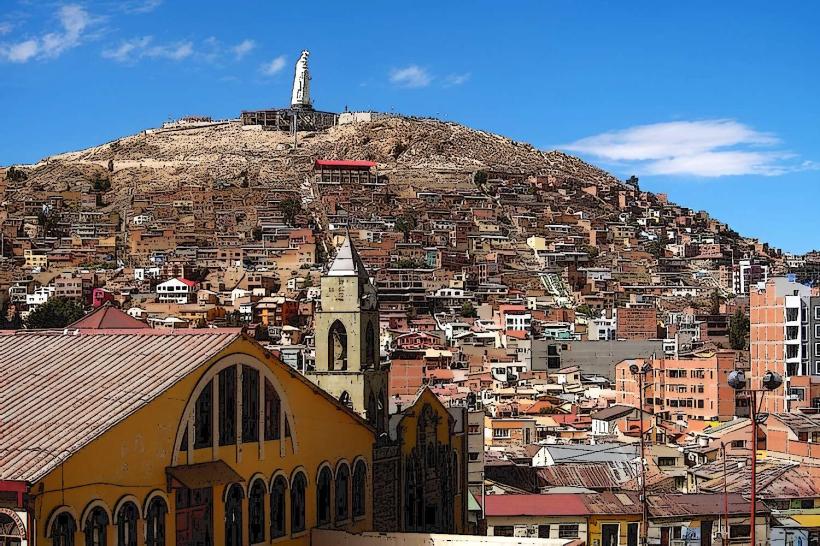
Cerro Santa Bárbara is a prominent hill located within the city limits of Oruro, Bolivia. It serves as a significant natural and cultural point of reference for the urban area.
Visual Characteristics
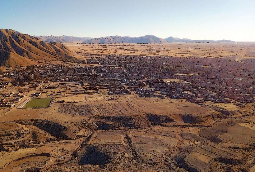
The hill is composed primarily of sedimentary rock formations, exhibiting varied shades of brown and ochre. Its slopes are sparsely vegetated, with hardy grasses and low-lying shrubs adapted to arid conditions. The summit features a cross and several small structures, visible from the city below.
Location & Access Logistics
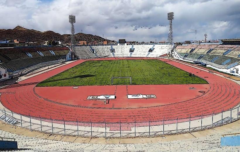
Cerro Santa Bárbara is situated on the western edge of Oruro. Access is via Avenida 6 de Agosto, which leads to the base of the hill. A dirt path, suitable for walking, ascends the western slope. Parking is available along Avenida 6 de Agosto. No public transport directly serves the summit; the nearest bus stops are located several blocks away on the main avenue.
Historical & Ecological Origin
Geologically, Cerro Santa Bárbara is an erosional remnant of ancient sedimentary layers. Historically, the hill has been a site of religious significance, with the construction of the prominent cross dating back to the mid-20th century. It has also served as a vantage point for observing the city and surrounding altiplano.
Key Highlights & Activities
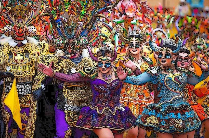
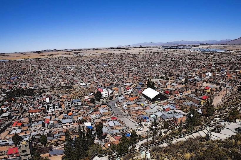
Hiking to the summit is the primary activity. Visitors can observe panoramic views of Oruro and the surrounding landscape. The cross at the summit is a focal point for local pilgrims, particularly during religious festivals.
Infrastructure & Amenities
There are no permanent infrastructure or amenities on Cerro Santa Bárbara. Restrooms and food vendors are located in the commercial areas of Oruro, several blocks from the base of the hill. Cell phone signal (4G/5G) is generally available at the summit.
Best Time to Visit
The best time for photography is during the late afternoon, approximately one hour before sunset, for optimal lighting conditions. The dry season, from May to October, offers the most stable weather with minimal rainfall. Mid-morning is also suitable for hiking to avoid the midday sun.
Facts & Legends
Local folklore suggests that the hill was once a sacred site for pre-Columbian indigenous populations. A specific tip for visitors is to wear sturdy footwear due to the uneven terrain of the ascent path.
Nearby Landmarks
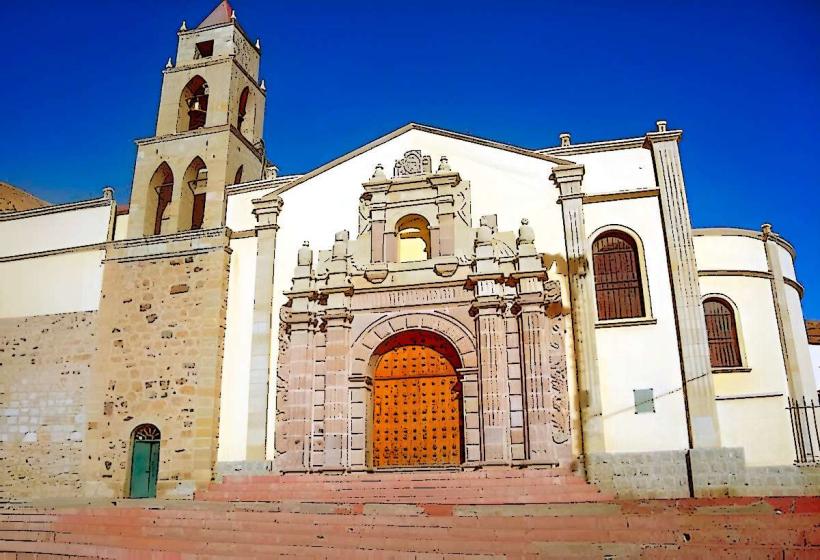
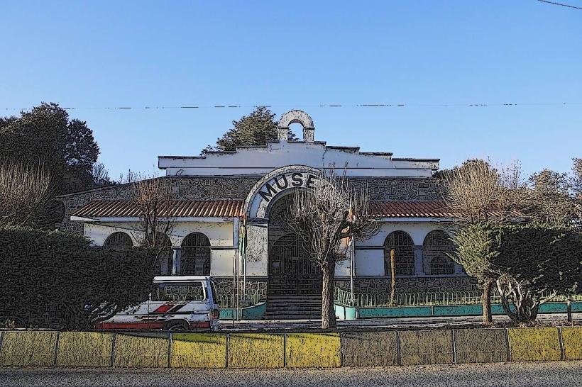
- Museo de Arte Sacro (0.8km East)
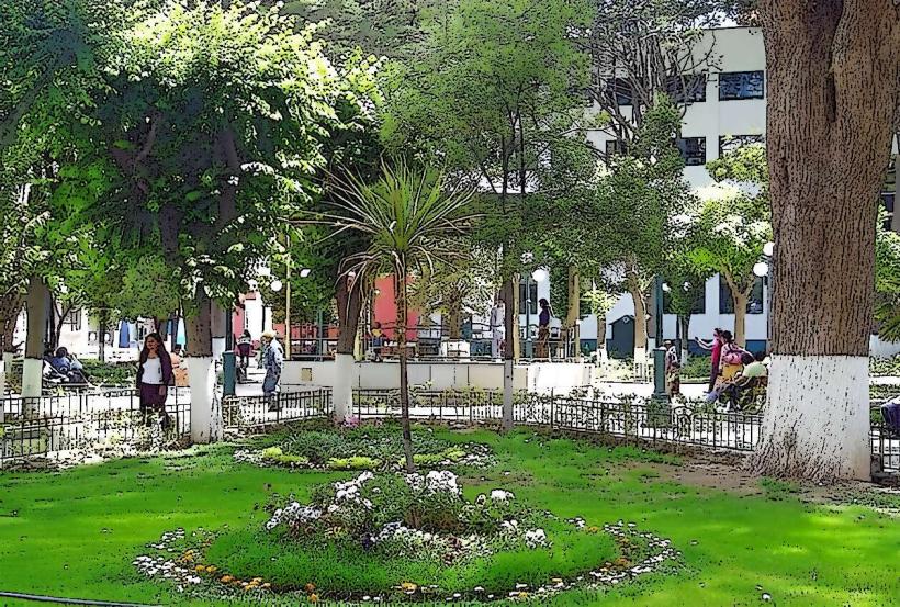
- Plaza de Armas (1.2km East)
- Iglesia de la Matriz (1.3km East)
- Mercado Central (1.5km Southeast)