Information
Continent: South AmericaSouth America, Continent
South America is a continent situated primarily in the Southern Hemisphere, bounded by the Pacific Ocean to the west, the Atlantic Ocean to the east, and the Caribbean Sea to the north. It is connected to North America by the Isthmus of Panama and contains 12 sovereign nations and one overseas territory (French Guiana).
Regional Subdivisions
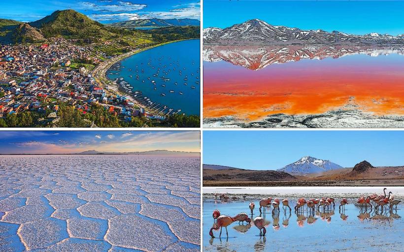
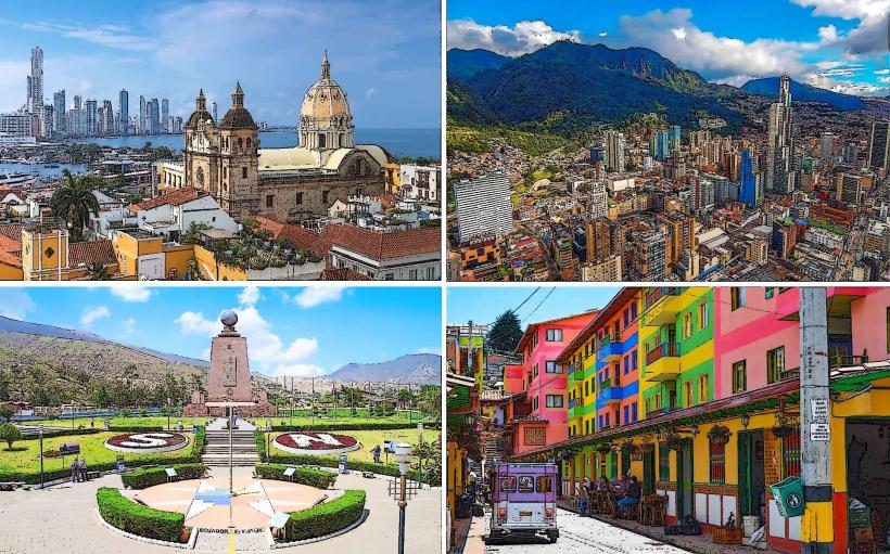
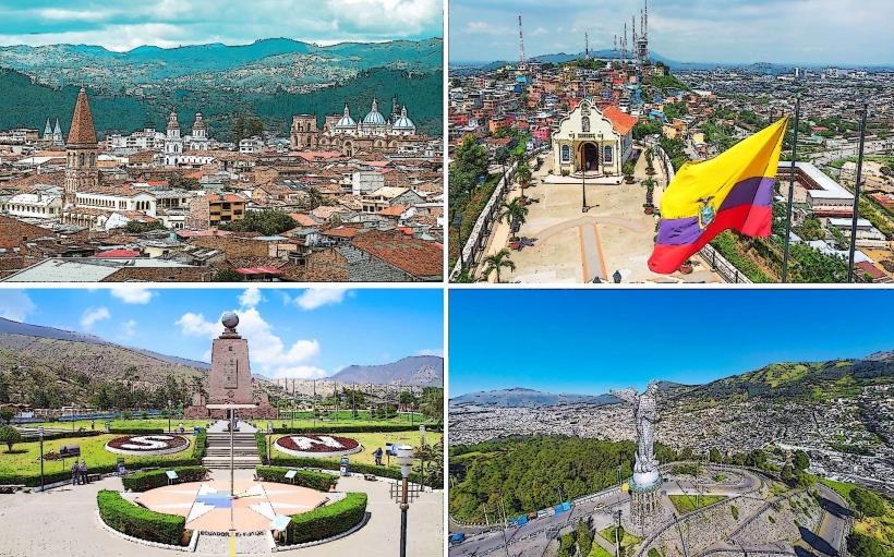
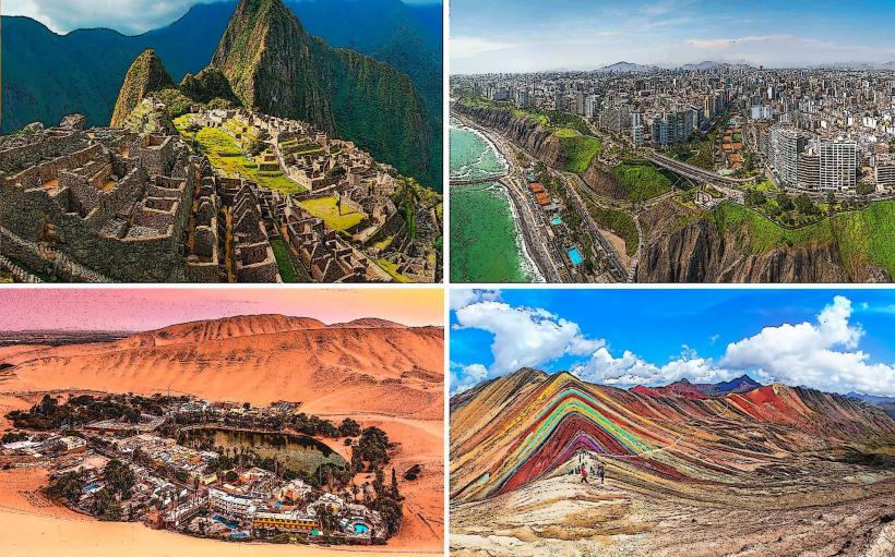
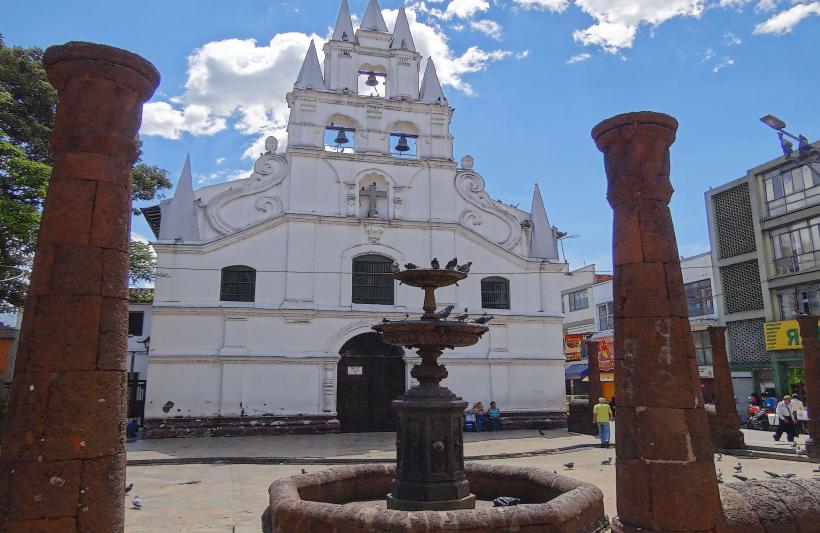
The Andean States: Nations traversed by the Andes mountain range (Colombia, Ecuador, Peru, Bolivia, Chile). Characterized by high-altitude plateaus and volcanic geography.
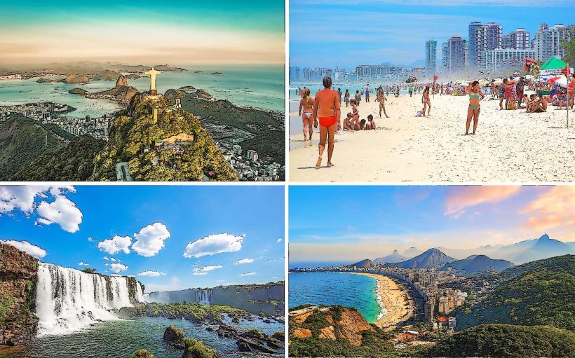
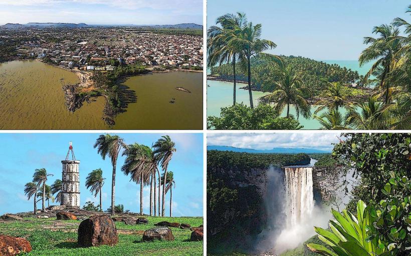
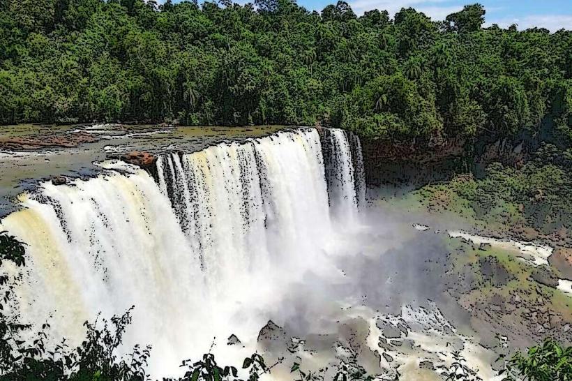
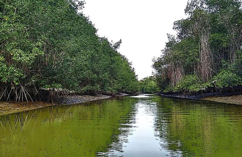
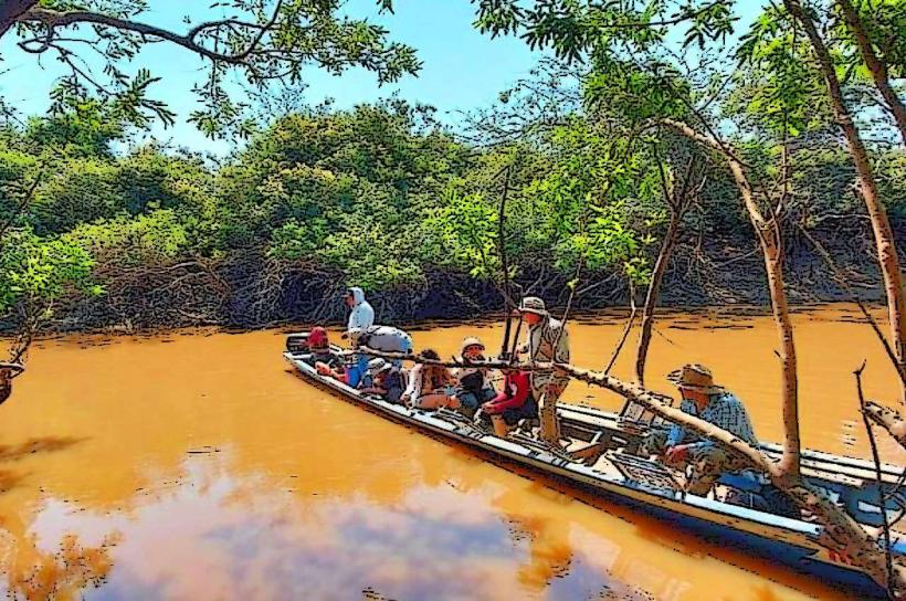
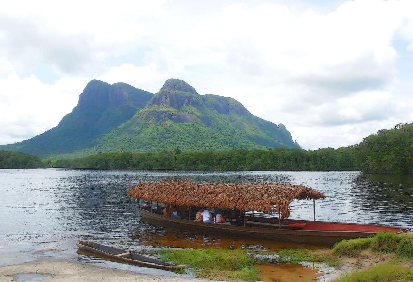
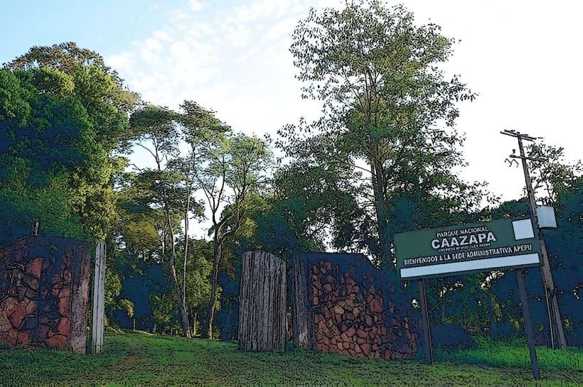
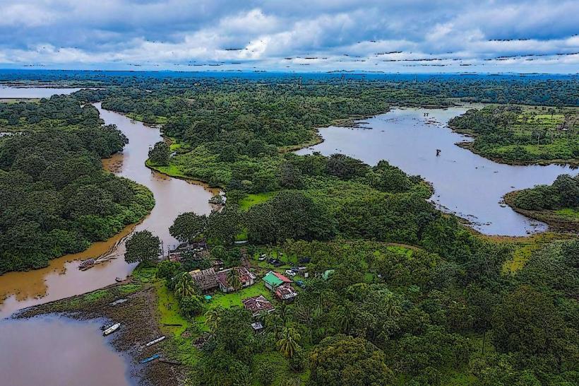
The Amazon Basin: The tropical interior encompassing Brazil and portions of neighboring states. Defined by the world’s largest rainforest system and equatorial humidity.
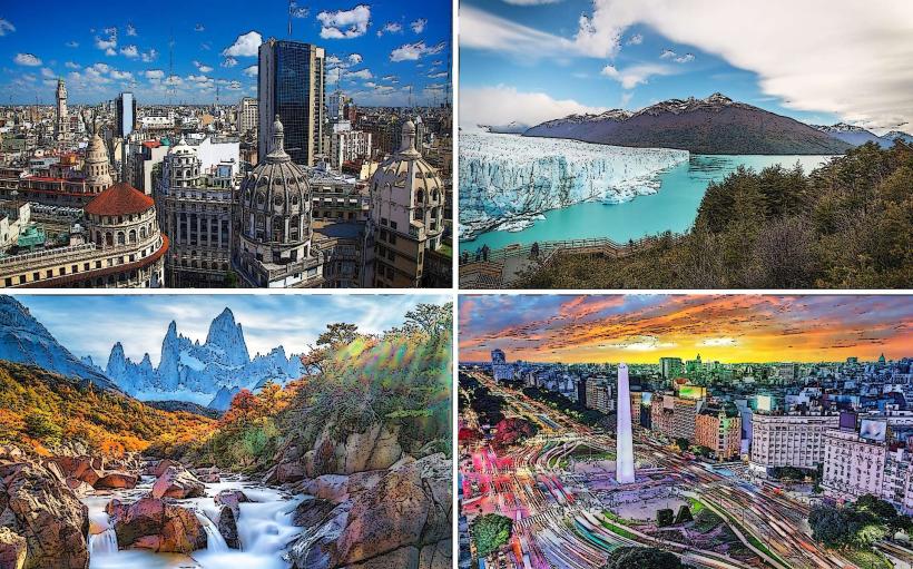
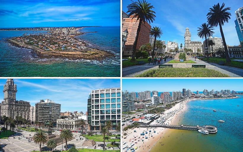
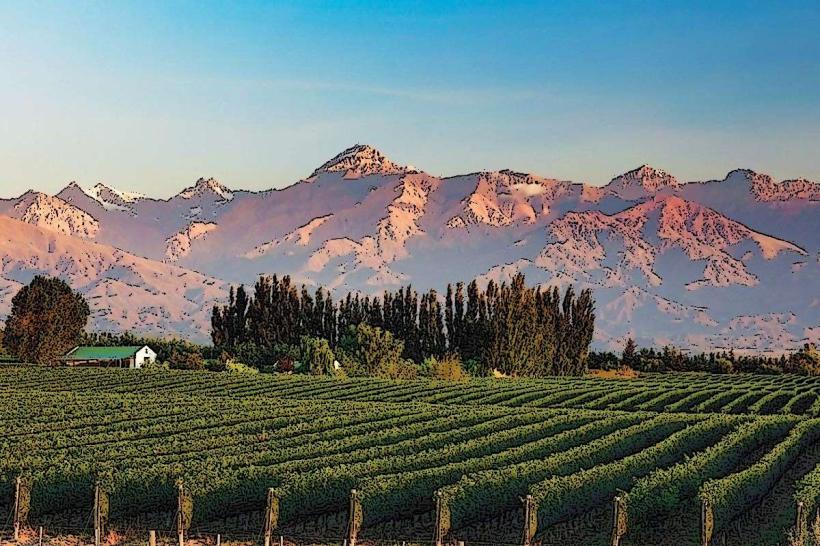
The Southern Cone: The temperate southern region (Argentina, Chile, Uruguay). Features mediterranean, alpine, and glacial climates with high levels of industrialization.
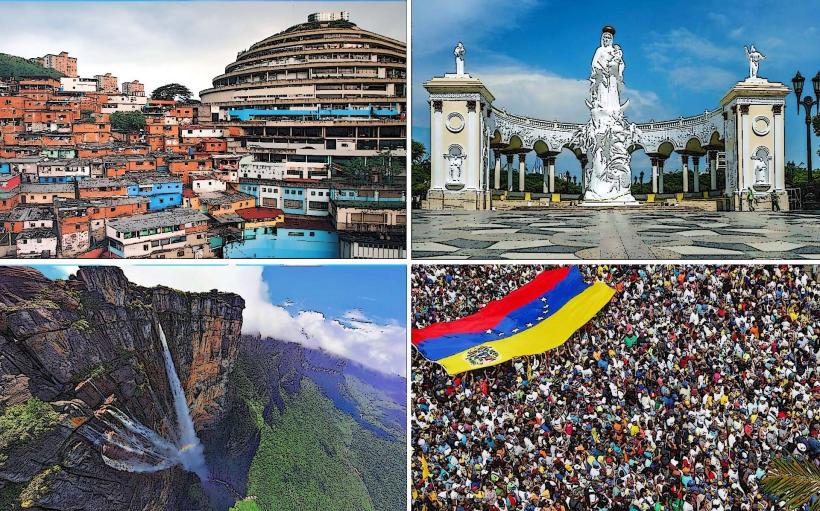
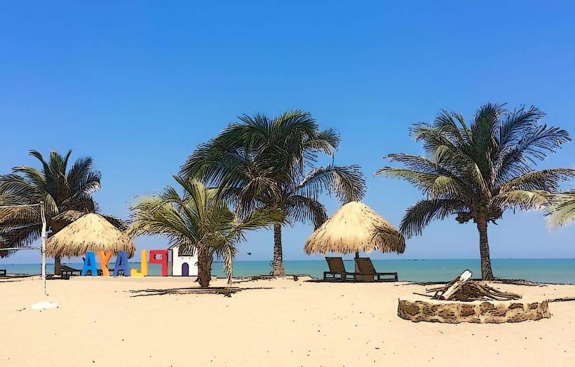
The Caribbean North: The coastal regions of Colombia, Venezuela, and the Guianas. Defined by tropical maritime conditions and plantation-era cultural influences.
Primary Entry Hubs (Aviation)
São Paulo-Guarulhos (GRU): The primary commercial and logistics gateway for South America, handling the highest volume of intercontinental traffic.
Bogotá El Dorado (BOG): A strategic northern hub for Avianca, serving as a major transit point between North and South America.
Lima Jorge Chávez (LIM): The central geographic hub for west coast connectivity and Andean transit.
Internal Connectivity & Transport
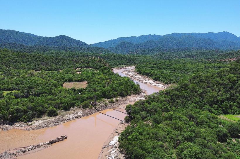
Continental transport is dominated by long-distance bus networks and aviation. Due to the topographic barriers of the Andes and the Amazon, rail infrastructure is virtually non-existent for passenger transit, with the exception of localized tourist trains. Low-Cost Carriers (LCCs) like JetSmart and Flybondi have expanded, but many trans-border routes remain expensive due to protectionist aviation taxes. River transport remains the primary logistical method within the Amazon Basin.
Visa & Border Regimes
Border integration is primarily managed through Mercosur and the Andean Community.
Reciprocity: Most South American citizens can travel across the continent using only national ID cards.
External Travelers: Western nationals typically receive 90-day visa-free entry in most states, though reciprocity fees (e.g., for Australians or Canadians) are occasionally enforced by Bolivia or Chile.
Yellow Fever: Proof of vaccination is frequently inspected at land borders when entering or exiting Amazonian zones.
Climate Macro-Systems
The Tropical/Equatorial System: Permanent high humidity and rainfall in the Amazon and northern coasts.
The Rain Shadow/Arid System: The Atacama Desert and Patagonian Steppe, characterized by extreme hyper-aridity due to the Andean barrier.
The Alpine System: Vertical climate zones in the Andes where temperature decreases linearly with elevation.
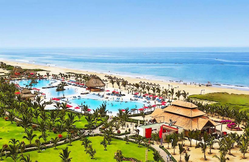
Peak Season: December to March for the Southern Cone and Andean trekking; June to August for the Amazon (the "dry" season).
Health & Safety Macro-Zones
Altitude Sickness (Sorocho): A significant physiological risk in the Andean highlands (La Paz, Cusco, Quito).
Vector-Borne Diseases: Risk of Zika, Dengue, and Malaria is high in low-lying tropical zones below 2,300 meters.
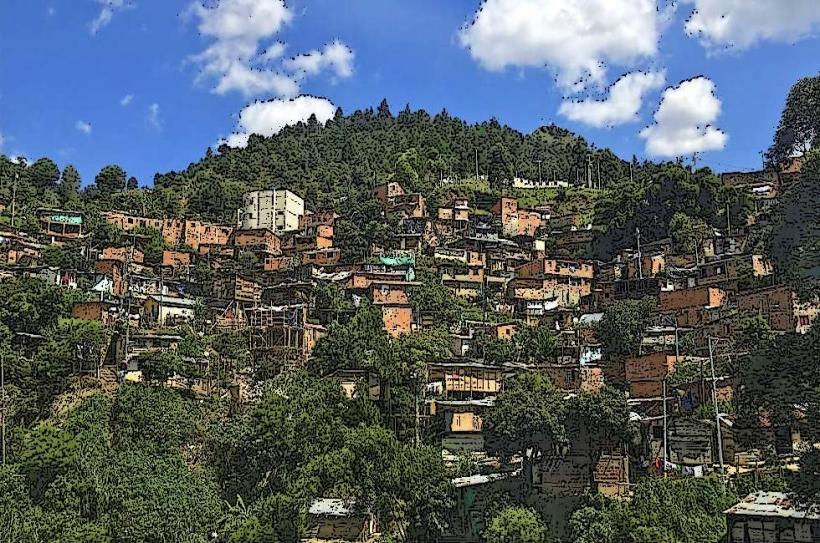
Urban Safety: High rates of opportunistic street crime are concentrated in major metropolitan hubs; "express kidnappings" remain a localized risk in specific northern sectors.
Dominant Languages & Currencies
Spanish: The primary language for 9 of the 12 nations.
Portuguese: Spoken by the majority of the continent's population (Brazil).
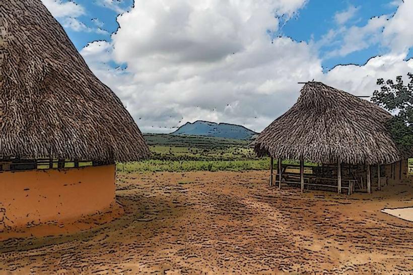
Indigenous Vernaculars: Quechua, Aymara, and Guaraní maintain official or semi-official status in the Andean and Paraguayan regions.
Currency: No unified currency exists. High-inflation economies (Argentina, Venezuela) utilize the US Dollar (USD) as an unofficial parallel store of value and for large tourism transactions.
Top 3 Tourism Corridors
The Gringo Trail: A traditional route spanning the Andean highlights of Colombia, Peru, and Bolivia.
The Atlantic Seaboard: A high-density coastal route connecting Rio de Janeiro, Florianópolis, and Buenos Aires.
The Patagonian Circuit: A southern trajectory focusing on the glacial landscapes of Torres del Paine (Chile) and El Calafate (Argentina).
Facts & Legends
The Andes mountain range is the longest continental mountain range in the world, formed by the ongoing subduction of the Nazca Plate and the Antarctic Plate beneath the South American Plate. This tectonic activity maintains the continent's high seismic and volcanic profile along its western axis.