Information
Landmark: Parque Nacional Hatos de BarloventoCity: Los Llanos
Country: Venezuela
Continent: South America
Parque Nacional Hatos de Barlovento, Los Llanos, Venezuela, South America
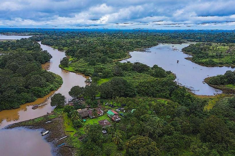
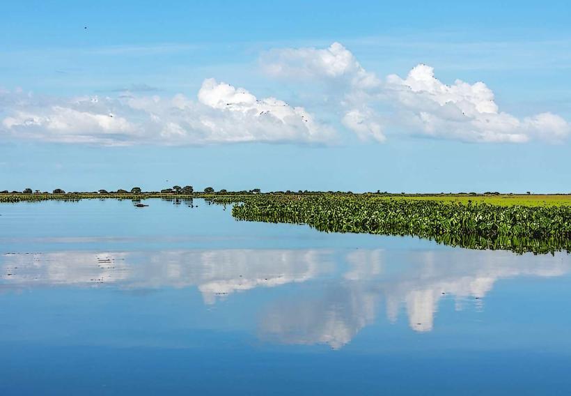
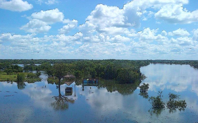
Parque Nacional Hatos de Barlovento is a protected area situated in the Los Llanos region of Venezuela. It encompasses a significant portion of the Venezuelan savanna ecosystem.
Visual Characteristics
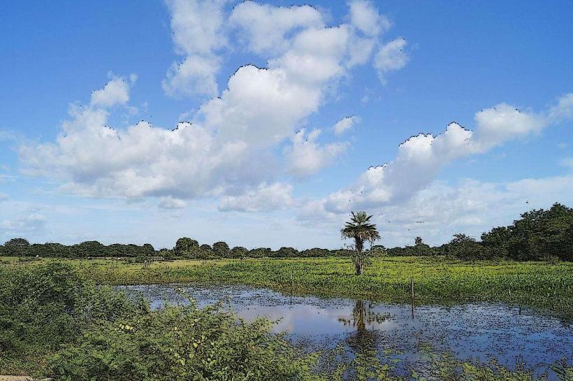
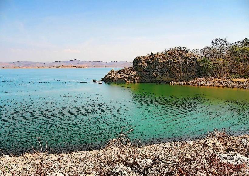
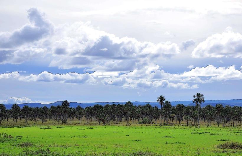
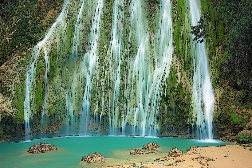
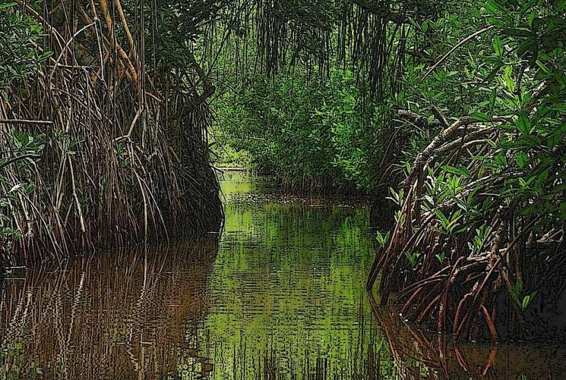
The landscape is characterized by extensive grasslands, interspersed with gallery forests along riverbanks. Dominant vegetation includes various species of grasses, palm trees (such as the Copernicia tectorum), and scattered shrubs. Water bodies, including rivers and seasonal lagoons, are common features. The terrain is generally flat to gently rolling.
Location & Access Logistics
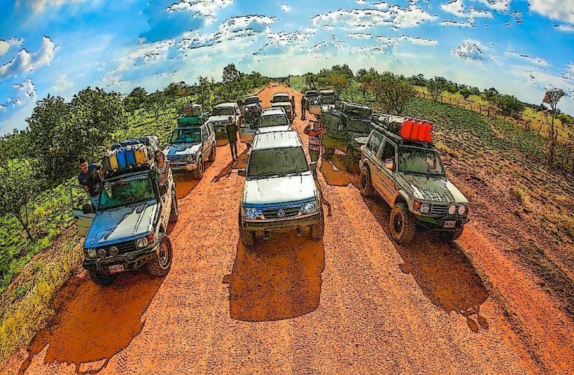
The park is located approximately 150 kilometers southeast of Caracas. Access is primarily via the Troncal 9 highway, turning onto local roads towards the town of Caucagua, which serves as a gateway. From Caucagua, unpaved roads lead into the park. Vehicle access can be challenging during the rainy season due to muddy conditions. No public transport directly serves the park interior; private vehicles or organized tours are necessary. Parking is informal and available at designated entry points or near ranger stations.
Historical & Ecological Origin
The area was designated a National Park on February 5, 1989, to conserve the unique savanna ecosystem and its biodiversity. Ecologically, it represents a typical tropical savanna environment, shaped by seasonal rainfall patterns and fire regimes. The region is crucial for migratory birds and hosts a variety of endemic species adapted to these conditions.
Key Highlights & Activities
Activities include wildlife observation, particularly birdwatching and spotting mammals like capybaras and deer. Guided horseback riding tours are available through local operators. Hiking is possible on designated trails, though many areas are best explored with a guide. Boat trips on the rivers are offered during the wet season.
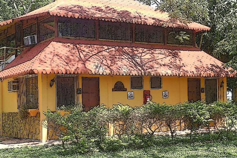
Infrastructure & Amenities
Basic infrastructure includes a few ranger stations providing information. Restrooms are available at some entry points. Shade is provided by natural tree cover in gallery forests and scattered palm trees. Cell phone signal is intermittent and generally poor within the park. Food vendors are not present within the park; visitors should bring their own supplies.
Best Time to Visit
The dry season, from December to April, offers the most accessible conditions for travel and wildlife viewing, as water levels are lower, concentrating animals. The best time of day for photography is early morning and late afternoon for optimal lighting. High tide is not a relevant factor for this terrestrial park.
Facts & Legends
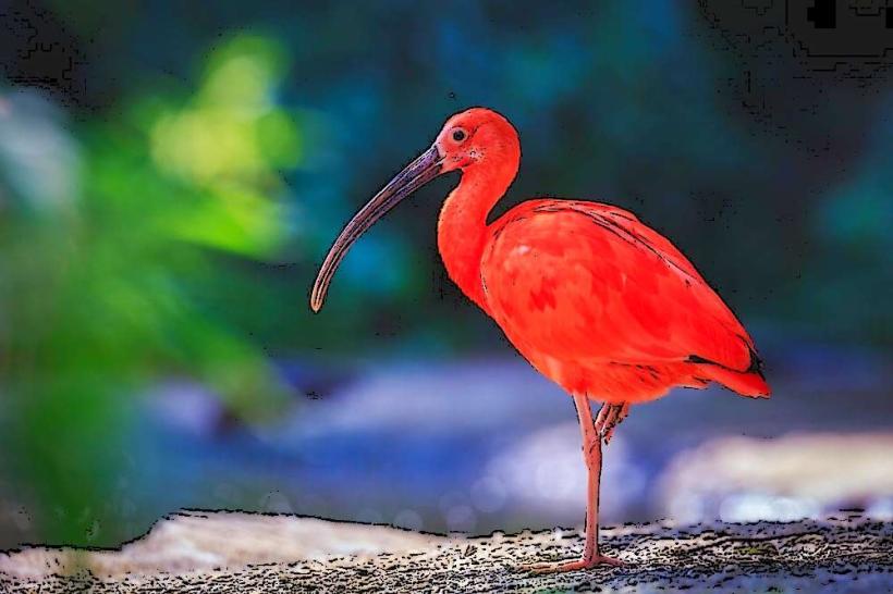
A notable aspect of the park is its role as a critical breeding ground for the Venezuelan Troupial (Icterus icterus), the national bird of Venezuela. Local folklore often speaks of the "Llanero" spirit, embodying the resilience and connection to the land of the people who inhabit this region.
Nearby Landmarks
- Parque Nacional Guatopo (45km Northwest)
- Laguna de Tacarigua (60km West)
- El Ávila National Park (Parque Nacional El Waraira Repano) (100km Northwest)
- Catedral de Santa María de la Asunción (Caucagua) (20km West)