Information
Landmark: Cascada de LimonCity: Los Llanos
Country: Venezuela
Continent: South America
Cascada de Limon, Los Llanos, Venezuela, South America
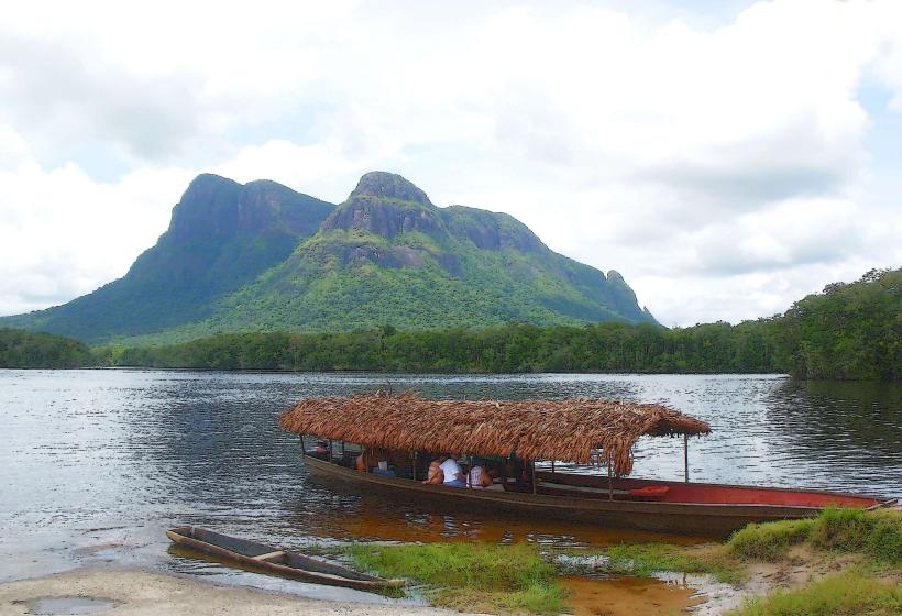
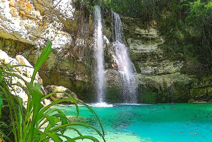
Cascada de Limón is a waterfall located in the Henri Pittier National Park, near the town of Los Llanos, Venezuela.
This natural site features a significant drop of water into a pool, surrounded by dense tropical vegetation.
Visual Characteristics
The waterfall descends approximately 100 meters over a rock face. The water is typically clear, with a light brown hue due to sediment. The surrounding environment is characterized by dense, multi-layered rainforest, with a high concentration of ferns, bromeliads, and large-leafed trees. The rock face itself is composed of sedimentary rock, showing signs of erosion.
Location & Access Logistics
Cascada de Limón is situated within Henri Pittier National Park. Access is primarily from the town of Los Llanos. From Los Llanos, follow the unpaved road designated as Carretera Nacional 15 for approximately 15 kilometers towards the park entrance. Parking is available at a designated lot near the trailhead. From the parking area, a marked hiking trail of approximately 3 kilometers leads to the waterfall. Public transport to Los Llanos is available via bus from major cities like Maracay. No direct public transport services reach the waterfall trailhead.
Historical & Ecological Origin
The waterfall is a result of natural erosion processes acting on the sedimentary rock formations of the Cordillera de la Costa. The Henri Pittier National Park was established in 1937, making it one of Venezuela's oldest national parks, primarily to protect its rich biodiversity and watershed areas, including the geological features that form Cascada de Limón.
Key Highlights & Activities
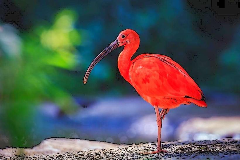
Hiking the trail to the waterfall is the primary activity. Swimming is permitted in the pool at the base of the waterfall, subject to water conditions. Photography of the waterfall and surrounding flora is common. Birdwatching is also a notable activity due to the park's diverse avian population.
Infrastructure & Amenities
Basic amenities are limited. There are no permanent restroom facilities at the trailhead or near the waterfall. Shade is provided by the dense forest canopy along the trail and at the waterfall's base. Cell phone signal (4G/5G) is generally absent within the park and along the trail. Food vendors are not present at the site; visitors should carry their own provisions.
Best Time to Visit
The best time of day for photography is typically mid-morning (9:00 AM - 11:00 AM) or late afternoon (3:00 PM - 5:00 PM) to avoid harsh overhead sunlight and capture the water's movement. The best months for visiting are during the dry season, from December to April, when rainfall is less frequent, and trails are more accessible. High tide is not a relevant factor for this inland waterfall.
Facts & Legends
Local folklore suggests that the pool at the base of the waterfall has healing properties. A specific historical oddity is the park's original name, Rancho Grande, before it was renamed in honor of Swiss botanist Henri Pittier. A visitor tip is to wear sturdy, waterproof footwear due to potentially muddy sections of the trail, especially after rainfall.
Nearby Landmarks
- Parque Nacional Henri Pittier (Park Entrance) - 3km West
- Pico de Naiguatá - 15km Northeast
- Bahía de Cata - 25km North
- La Colonia Tovar - 30km Northwest