Information
Landmark: Los Llanos WetlandsCity: Los Llanos
Country: Venezuela
Continent: South America
Los Llanos Wetlands, Los Llanos, Venezuela, South America
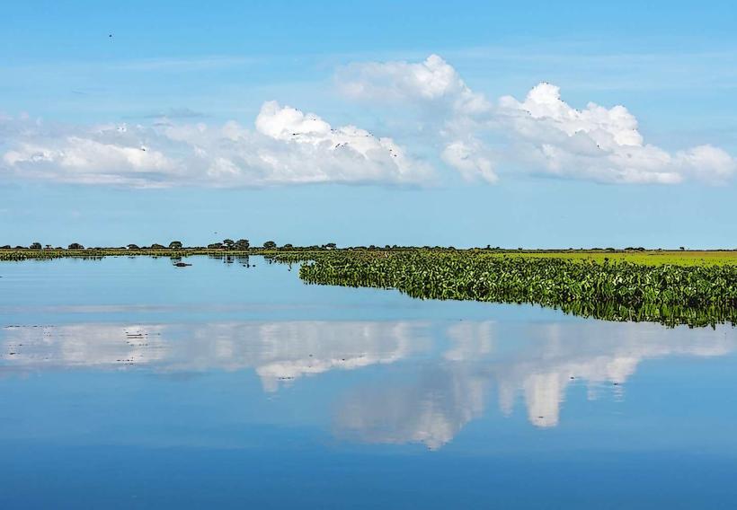
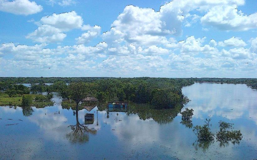
Los Llanos Wetlands is an extensive savanna and marshland ecosystem located in the plains region of Venezuela, primarily surrounding the city of Los Llanos.
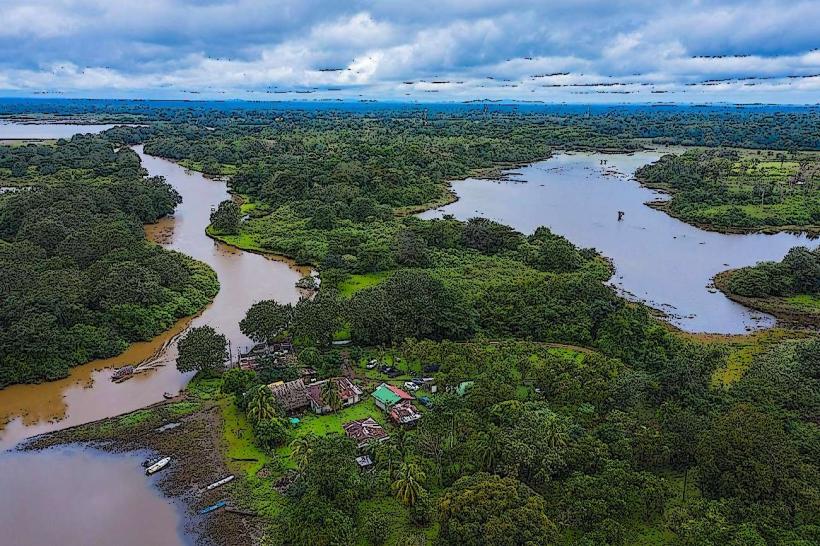
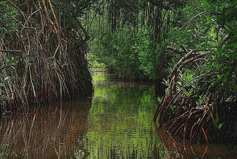
This vast area is characterized by its flat topography, interspersed with numerous rivers, lagoons, and seasonally flooded grasslands.
Visual Characteristics
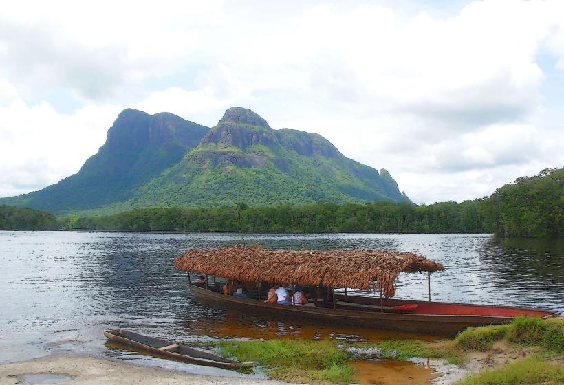
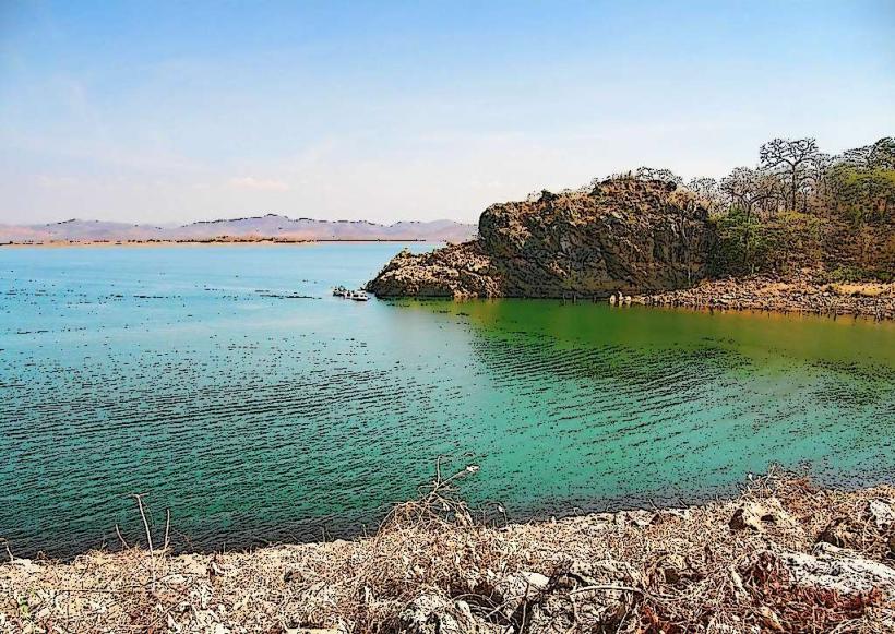
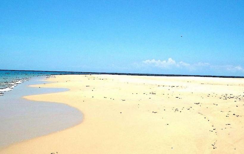
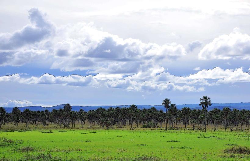
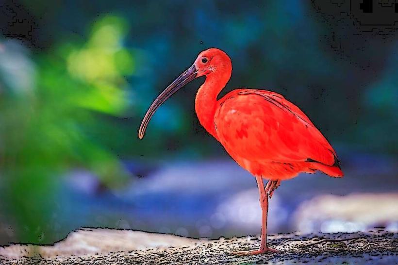
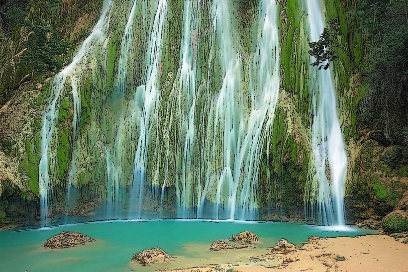
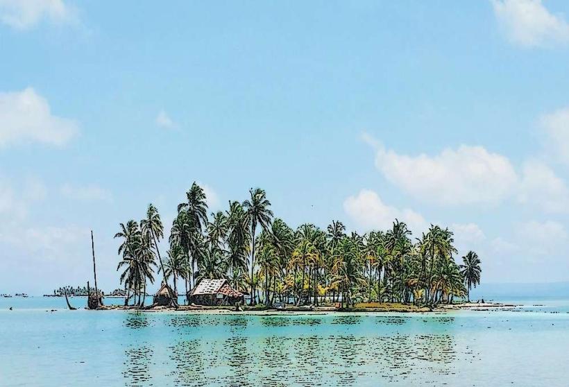
The landscape consists of extensive grasslands, varying in color from green during the wet season to golden-brown during the dry season. Water bodies range from shallow, muddy lagoons to wider, slow-moving rivers. Scattered palm trees and gallery forests along waterways provide localized shade. Wildlife, including capybaras, caimans, and various bird species, are integral to the visual composition.
Location & Access Logistics
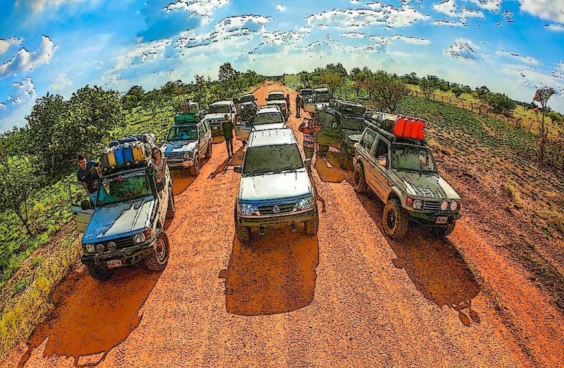
Los Llanos Wetlands is accessible via the city of Los Llanos. From the city center, travel east on Carretera Nacional 15 for approximately 30 kilometers to reach the primary access points. Unpaved roads branch off the national highway, leading into the wetland areas. Parking is generally available at designated estancias (ranches) or informal pull-offs along these unpaved routes. Public transport directly into the core wetland areas is limited; bus services operate to Los Llanos city, from where private vehicle hire or organized tours are the primary means of access.
Historical & Ecological Origin
The formation of Los Llanos is a result of geological processes that created a vast alluvial plain. Ecologically, it is classified as a tropical savanna with significant seasonal flooding, creating a unique wetland environment. Historically, the area has been utilized for cattle ranching since the colonial era, shaping its current land use patterns.
Key Highlights & Activities
Boat tours on rivers and lagoons offer opportunities for wildlife observation. Guided walks on established trails allow for closer examination of flora and fauna. Birdwatching is a primary activity, with numerous species present year-round. Horseback riding excursions are available through local estancias.
Infrastructure & Amenities
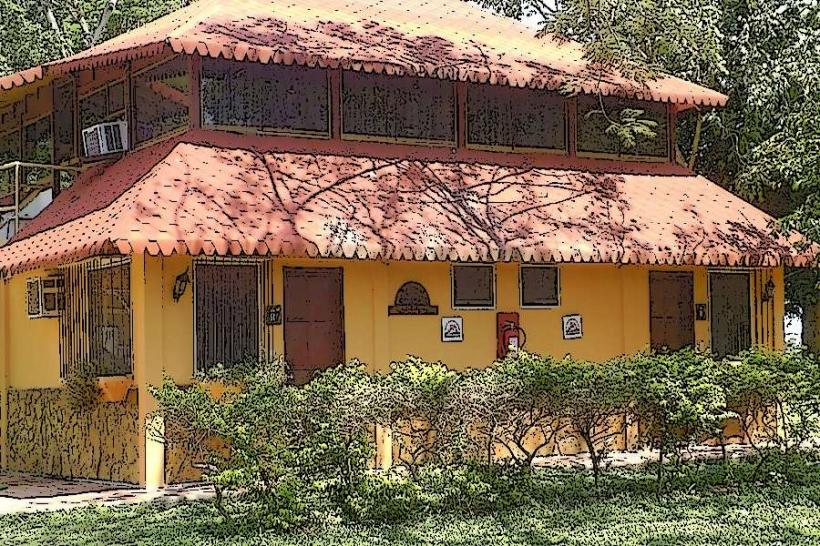
Restrooms are available at some estancias and tourist lodges. Shade is provided by natural tree cover and some man-made structures at established visitor points. Cell phone signal (primarily 2G/3G) is intermittent and often unavailable in remote areas. Food vendors are not typically found within the wetlands; meals are usually provided by estancias or arranged through tour operators.
Best Time to Visit
The dry season, from December to April, is generally preferred for easier navigation and concentrated wildlife viewing around remaining water sources. The wet season, from May to November, offers a more lush landscape but can restrict access due to flooding. For photography, early morning and late afternoon provide optimal lighting conditions, minimizing harsh midday sun.
Facts & Legends
A local legend speaks of the "Silbón" (the Whistler), a spectral figure said to wander the plains at night, carrying a sack of bones and whistling ominously. It is believed to be the spirit of a man who committed a grave sin in life.
Nearby Landmarks
- Parque Nacional Aguaro-Guariquito (15km Southwest)
- Catedral de Nuestra Señora de la Soledad, Calabozo (40km Northeast)
- Estancia La Candelaria (5km East)
- Laguna de La Restinga (25km West)