Information
Landmark: Reserva de Biosfera de los LlanosCity: Los Llanos
Country: Venezuela
Continent: South America
Reserva de Biosfera de los Llanos, Los Llanos, Venezuela, South America
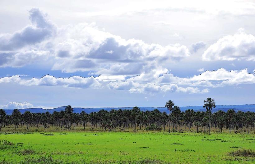
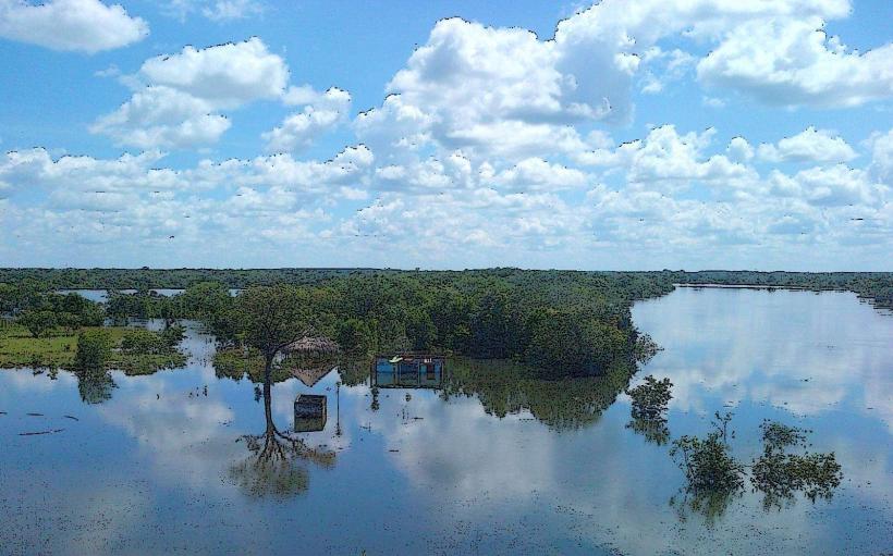
Reserva de Biosfera de Los Llanos is a protected area located in the state of Apure, Venezuela. It encompasses a significant portion of the Venezuelan Llanos, a vast tropical grassland region.
Visual Characteristics
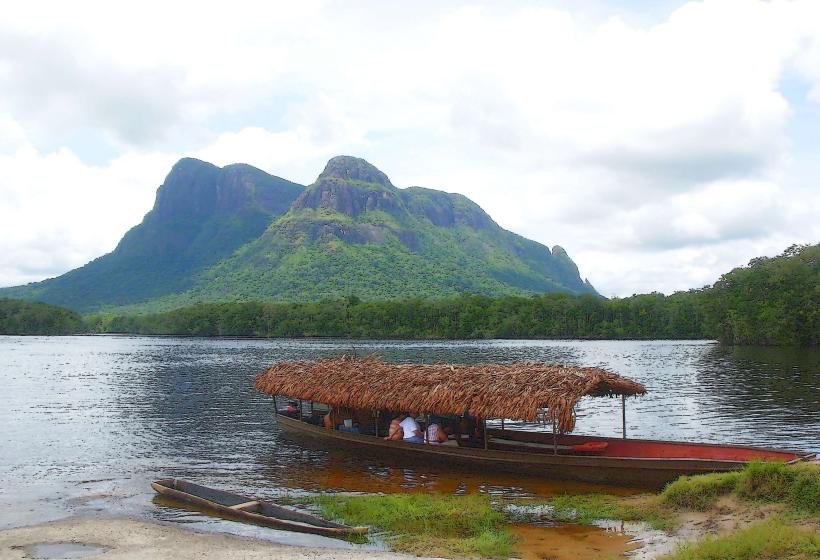
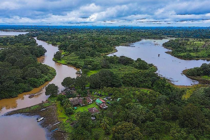
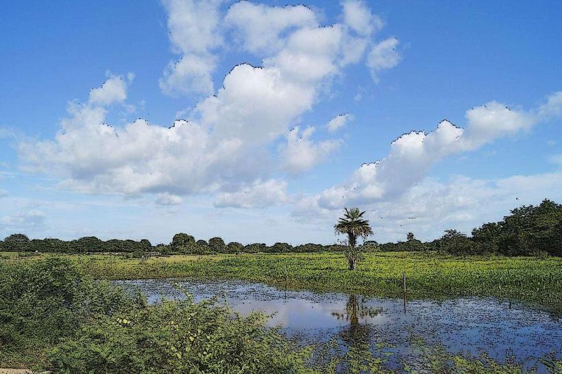
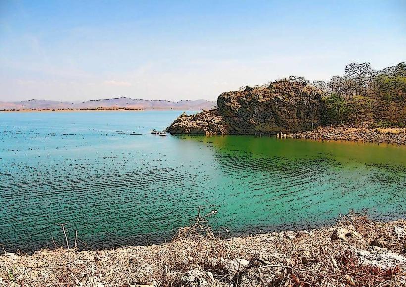
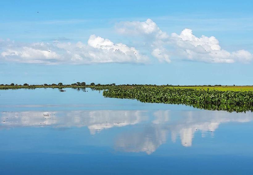
The landscape is characterized by extensive savannas, interspersed with gallery forests along riverbanks. Dominant vegetation includes grasses, shrubs, and scattered trees such as moriche palms (Mauritia flexuosa). Water bodies, including rivers, lagoons, and seasonal wetlands, are prevalent. Wildlife is a key visual element, with diverse bird species, capybaras, caimans, and anacondas frequently observed.
Location & Access Logistics
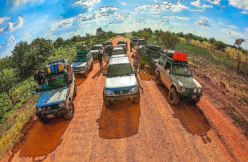
The reserve is situated approximately 500 kilometers southwest of Caracas. Access is primarily via the Troncal 2 highway, which passes through the town of Elorza, a common entry point. From Elorza, unpaved roads lead into the reserve, requiring a 4x4 vehicle, especially during the wet season. The nearest major airport is in San Fernando de Apure, approximately 150 kilometers north, from which ground transportation can be arranged. Parking is generally available at established lodges or designated points within the reserve, though it is informal.
Historical & Ecological Origin
The Llanos region is a geologically ancient plain formed by sedimentary deposition over millions of years. Ecologically, it is classified as a tropical savanna biome, characterized by distinct wet and dry seasons that dictate vegetation and animal behavior. The designation as a Biosphere Reserve by UNESCO in 1989 aims to conserve its unique biodiversity and traditional land-use practices.
Key Highlights & Activities
Activities include wildlife observation, particularly birdwatching and mammal spotting. Boat tours on rivers and lagoons offer opportunities to see aquatic life and riparian fauna. Guided walks through savanna and forest areas are available. Horseback riding is a traditional method of traversing the landscape and is offered by some local operators. Photography of flora and fauna is a primary pursuit.
Infrastructure & Amenities
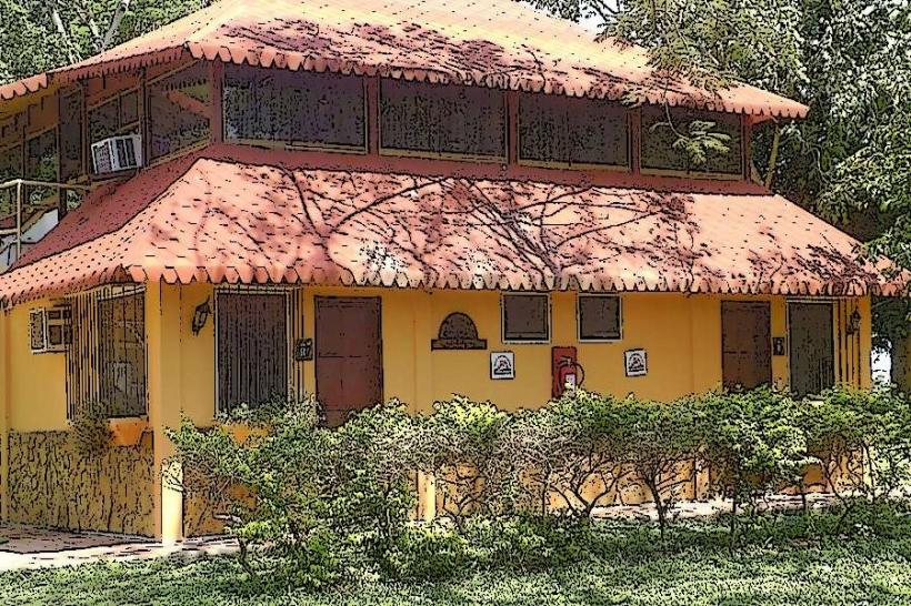
Basic infrastructure exists in the form of eco-lodges and small rural establishments offering accommodation and meals. Restrooms are available at these lodges. Shade is provided by trees and lodge structures. Cell phone signal is intermittent and generally unreliable within the core areas of the reserve. Food vendors are limited to the towns bordering the reserve; within the reserve, meals are typically provided by accommodation providers.
Best Time to Visit
The dry season, from December to April, is optimal for wildlife viewing as animals congregate around remaining water sources. The wet season, from May to November, transforms the landscape into a wetland environment, ideal for observing water birds but can impede ground access. The best time of day for photography is early morning and late afternoon due to softer light and increased animal activity.
Facts & Legends
A notable fact is the presence of the Orinoco crocodile (Crocodylus intermedius), a critically endangered species for which the reserve serves as a crucial refuge. Local folklore often speaks of the "Silbón," a spectral figure associated with the plains, though this is a legend rather than a verifiable fact.
Nearby Landmarks
- Parque Nacional Cinaruco (15km Southwest)
- Hato El Frío (25km Northwest)
- Laguna de La Restinga (40km East)
- San Fernando de Apure (150km North)