Information
Landmark: Cano TiznadosCity: Los Llanos
Country: Venezuela
Continent: South America
Cano Tiznados, Los Llanos, Venezuela, South America
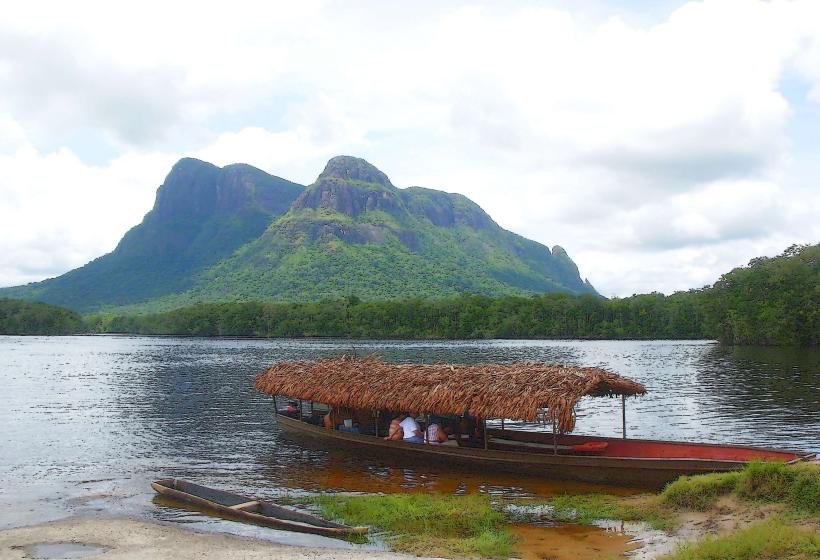
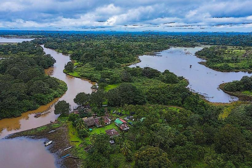
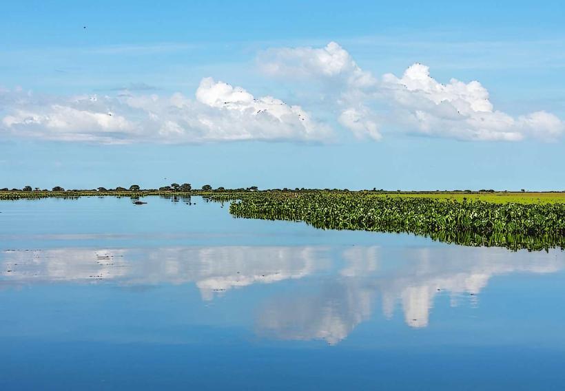
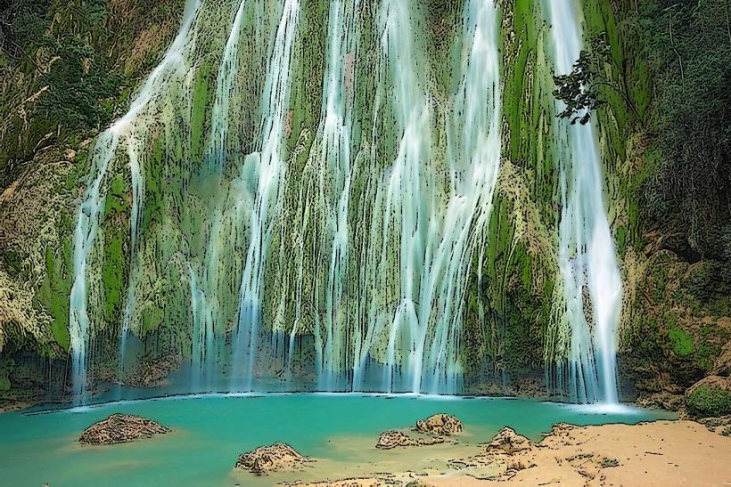
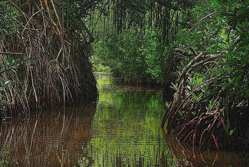
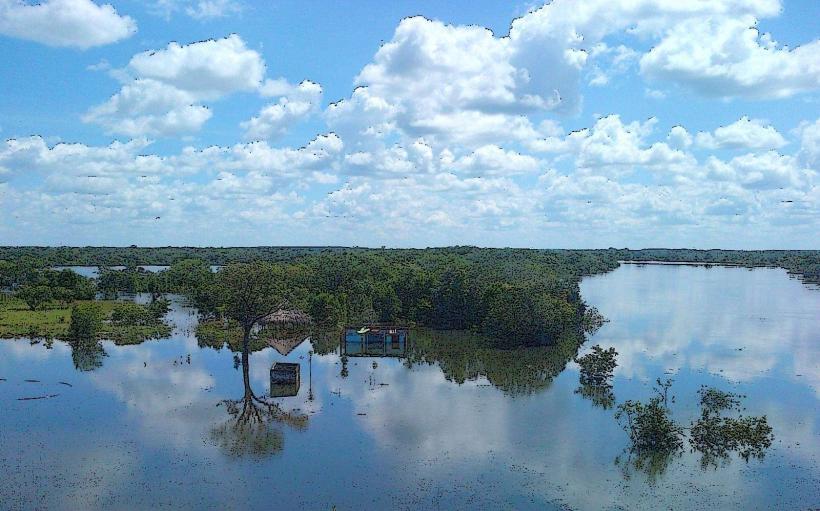
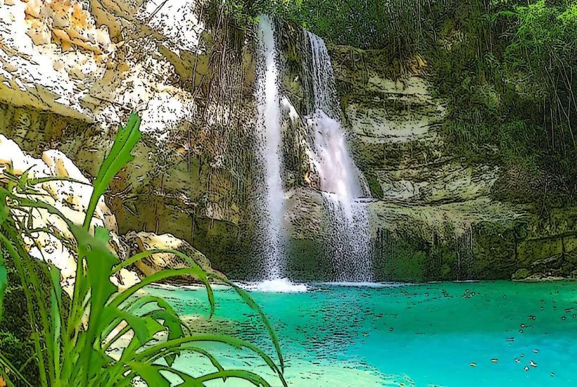
Cano Tiznados is a river system located in the municipality of Los Llanos, Venezuela. It is characterized by its network of channels and associated wetlands.
Visual Characteristics
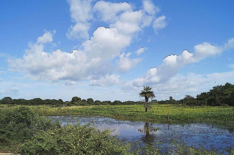
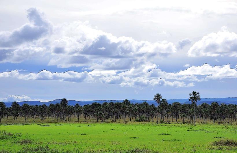
The river channels are typically shallow, with water depths ranging from 0.5 to 2 meters. The water color varies from clear to a light brown, depending on recent rainfall and sediment load. The riverbanks are lined with dense tropical vegetation, including palm trees, grasses, and various shrub species. The terrain is generally flat, with occasional small depressions that form temporary pools.
Location & Access Logistics
Cano Tiznados is situated approximately 40 kilometers southwest of the city center of Los Llanos. Access is primarily via unpaved roads branching off the national highway (Troncal 10). The closest accessible point by vehicle is a small access road approximately 5 kilometers east of the town of San Juan de Los Morros. Parking is informal and available along the access road. Public transport to San Juan de Los Morros is available via intercity buses from major Venezuelan cities. From San Juan de Los Morros, local transport (taxis or private hire) is required to reach the river access points.
Historical & Ecological Origin
Cano Tiznados is a natural river system formed by the drainage of the surrounding plains. Its ecological origin is that of a typical fluvial system within the Venezuelan Llanos, characterized by seasonal flooding and a rich biodiversity adapted to these conditions. Historically, the area has been utilized for cattle ranching and subsistence agriculture, with the river providing a water source.
Key Highlights & Activities
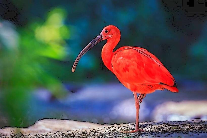
Boat tours along the main channels are available, offering opportunities for wildlife observation. Fishing is permitted in designated areas. Hiking along the riverbanks is possible, though trails are not formally maintained. Birdwatching is a primary activity due to the diverse avian population.
Infrastructure & Amenities
There are no formal restrooms or shade structures directly at the river access points. Basic food vendors may be present in the nearby town of San Juan de Los Morros. Cell phone signal (4G/5G) is intermittent and generally unreliable in the immediate vicinity of the river.
Best Time to Visit
The dry season, from December to April, offers the most stable access and clearer water. The best time of day for wildlife viewing is early morning (6:00 AM - 9:00 AM) and late afternoon (4:00 PM - 6:00 PM) when temperatures are cooler and animals are more active. High tide is not a relevant factor for this river system.
Facts & Legends
Local folklore suggests that the river's currents can change unpredictably, a phenomenon attributed by some to ancient spirits of the plains. A verified historical fact is that the area was a significant route for indigenous tribes prior to colonial settlement.
Nearby Landmarks
- Parque Nacional Guatopo (35km Northeast)
- Cueva del Guácharo (120km Southeast)
- Laguna de La Restinga (150km West)
- Cerro El Copey (130km Southwest)