Information
Landmark: Playa BlancaCity: Concepcion
Country: Chile
Continent: South America
Playa Blanca, Concepcion, Chile, South America
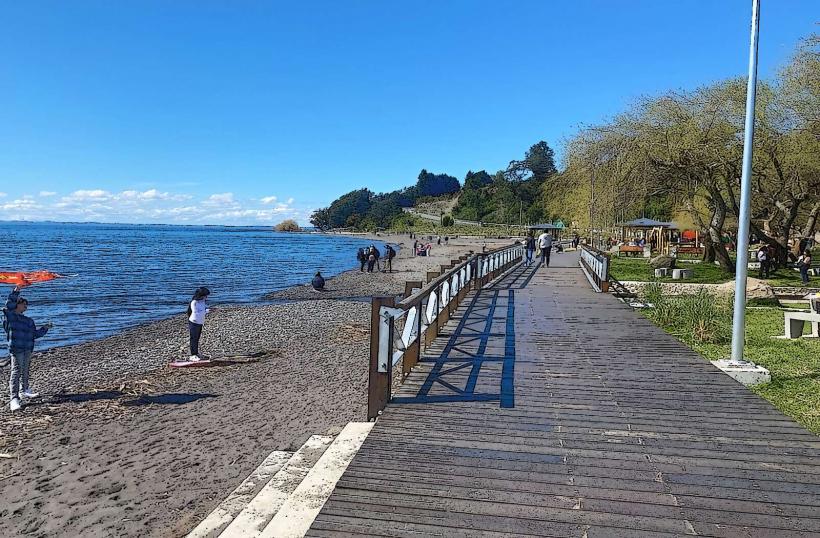
Playa Blanca is a coastal area situated within the city limits of Concepcion, Chile.
This location serves as a public beach and recreational space along the Biobío River estuary.
Visual Characteristics
The beach consists of fine, light-colored sand. The water in the estuary is typically calm and can vary in color from grey to brown depending on sediment levels. The shoreline is bordered by low-lying vegetation and some scattered trees. The area is relatively flat.
Location & Access Logistics
Playa Blanca is located approximately 10 kilometers west of Concepcion's city center. Access is via Avenida Costanera del Biobío, which runs parallel to the estuary. Parking is available in designated unpaved lots adjacent to the beach. Public transport options include the local bus line 24, which stops at the intersection of Avenida Costanera del Biobío and Calle Los Pescadores, a 500-meter walk from the main beach area.
Historical & Ecological Origin
The area's formation is a result of alluvial deposition from the Biobío River over millennia, creating the sandy shoreline. Historically, it has been utilized by local communities for fishing and recreation. No specific architect or construction date applies as it is a natural formation adapted for public use.
Key Highlights & Activities
Activities include walking along the shoreline, picnicking, and observing birdlife. Swimming is permitted but caution is advised due to potential currents. Fishing from the shore is a common activity.
Infrastructure & Amenities
Basic amenities include a limited number of picnic tables and trash receptacles. There are no permanent restroom facilities. Shade is minimal, provided only by scattered trees. Cell phone signal (4G) is generally available.
Best Time to Visit
For photography, early morning or late afternoon offers softer light. The best months for comfortable outdoor activity are from October to March, avoiding the winter rainfall. Tidal variations have minimal impact on beach access.
Facts & Legends
Local lore suggests that during certain low tides, remnants of old fishing nets and wooden structures from earlier settlements can be observed partially submerged in the sand, though these are rarely visible.
Nearby Landmarks
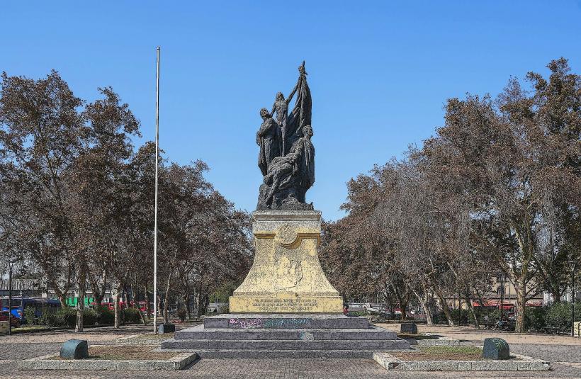
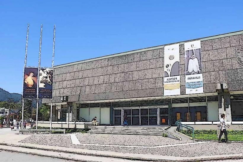
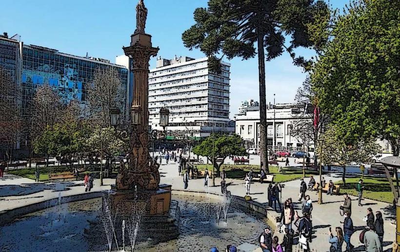
- Parque Ecuador (3.5km East)
- Universidad de Concepción (4.0km East)
- Estadio Ester Roa Rebolledo (4.2km East)
- Cerro San Cristóbal (4.8km Southeast)