Information
Landmark: Playa del VenadoCity: Concepcion
Country: Chile
Continent: South America
Playa del Venado, Concepcion, Chile, South America
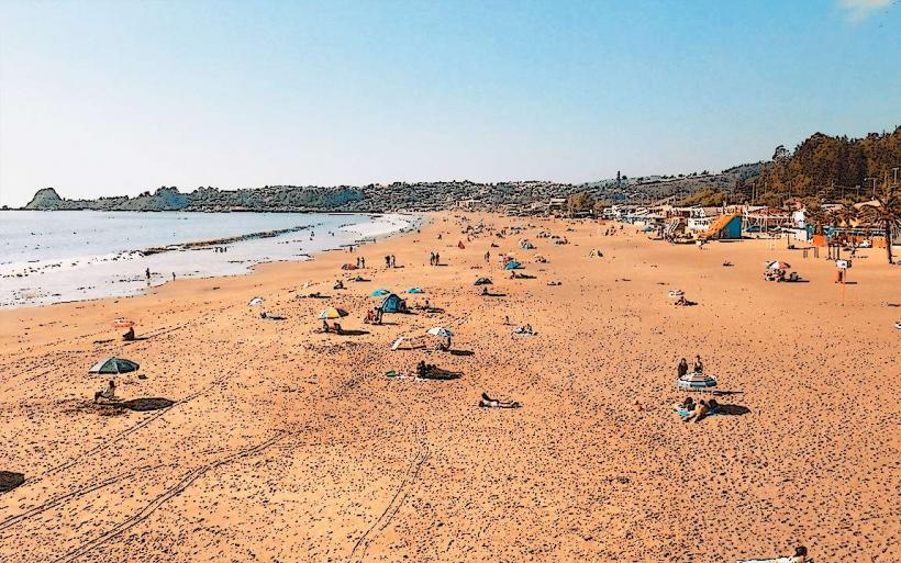
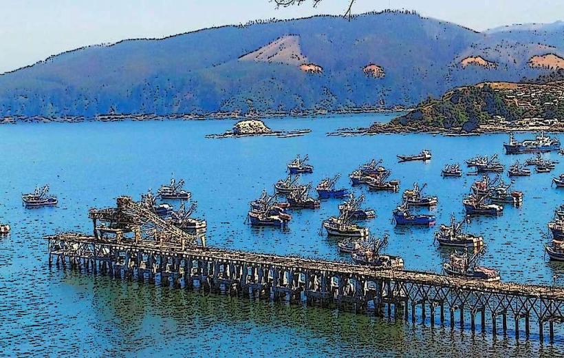
Playa del Venado is a coastal area situated south of the Biobío River estuary in Concepción, Chile.
This location serves as a natural boundary and recreational space within the urban periphery.
Visual Characteristics
The beach consists of dark, fine-grained sand. The coastline is characterized by moderate wave action and a gradual slope into the Pacific Ocean. Vegetation is sparse, primarily consisting of low-lying coastal grasses and scrub on the higher ground behind the beach.
Location & Access Logistics
Playa del Venado is located approximately 10 kilometers south of Concepción's city center. Access is primarily via Avenida Costanera, which runs parallel to the coast. Parking is available along designated areas adjacent to Avenida Costanera. Public transport options include the local bus line B02, which stops at points along Avenida Costanera within walking distance of the beach.
Historical & Ecological Origin
The area's formation is a result of coastal erosion and sediment deposition processes typical of the Chilean coast. Ecologically, it is part of the temperate coastal ecoregion, influenced by the cold Humboldt Current.
Key Highlights & Activities
Walking along the shoreline is a primary activity. The area is suitable for observing marine birdlife. Fishing from the shore is permitted.
Infrastructure & Amenities
Restrooms are not consistently available. Shade is minimal, provided only by natural undulations in the terrain. Cell phone signal (4G/5G) is generally reliable. Food vendors are not present directly at the beach; options are available in nearby urban areas.
Best Time to Visit
For photography, late afternoon provides angled light on the sand and water. The months of December through March offer the warmest weather. Tidal conditions do not significantly impact access or general activity.
Facts & Legends
Local folklore suggests the beach was a frequent resting point for migrating deer (venado) in pre-colonial times, hence its name. Geologically, the dark sand is rich in iron particles.
Nearby Landmarks
- Laguna Las Cruces (1.5km Southwest)
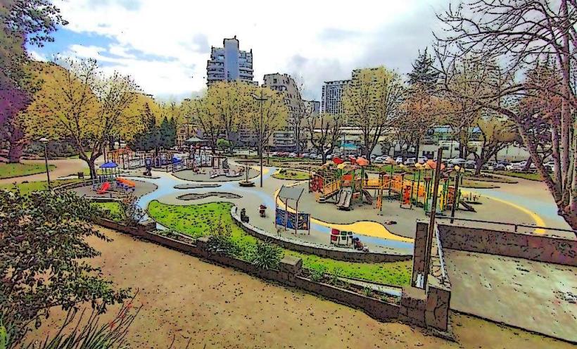
- Parque Pedro del Río Zañartu (3.0km Northwest)
- Universidad de Concepción Campus San Andrés (4.0km North)
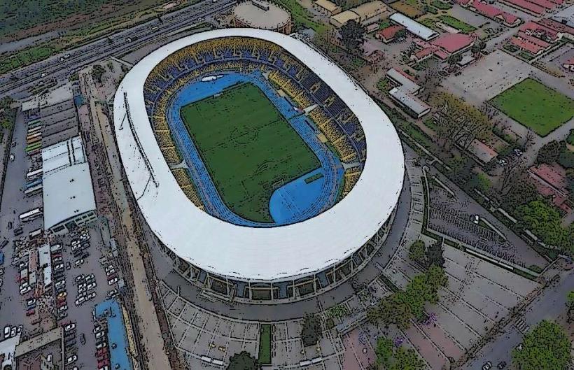
- Estadio Ester Roa Rebolledo (4.5km North)