Information
Landmark: Charlestown BayandCity: Canouan
Country: Saint Vincent and the Grenadines
Continent: North America
Charlestown Bayand, Canouan, Saint Vincent and the Grenadines, North America
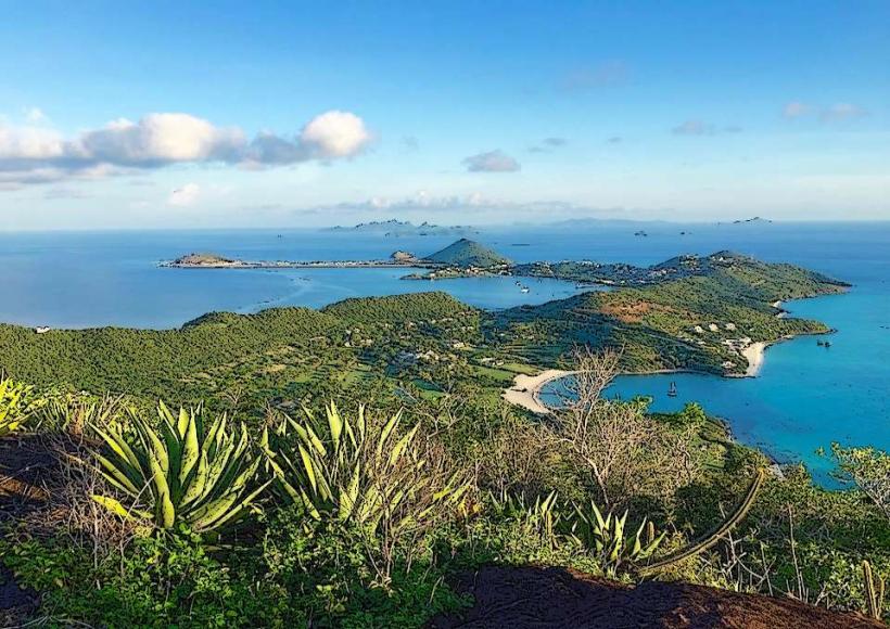
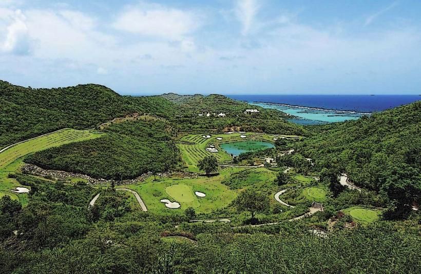
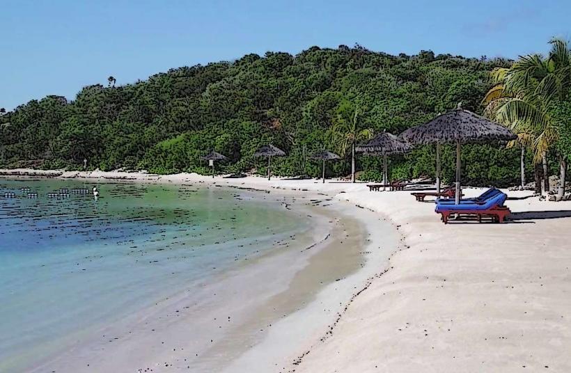
Charlestown Bayand is a coastal area located on the island of Canouan in Saint Vincent and the Grenadines.
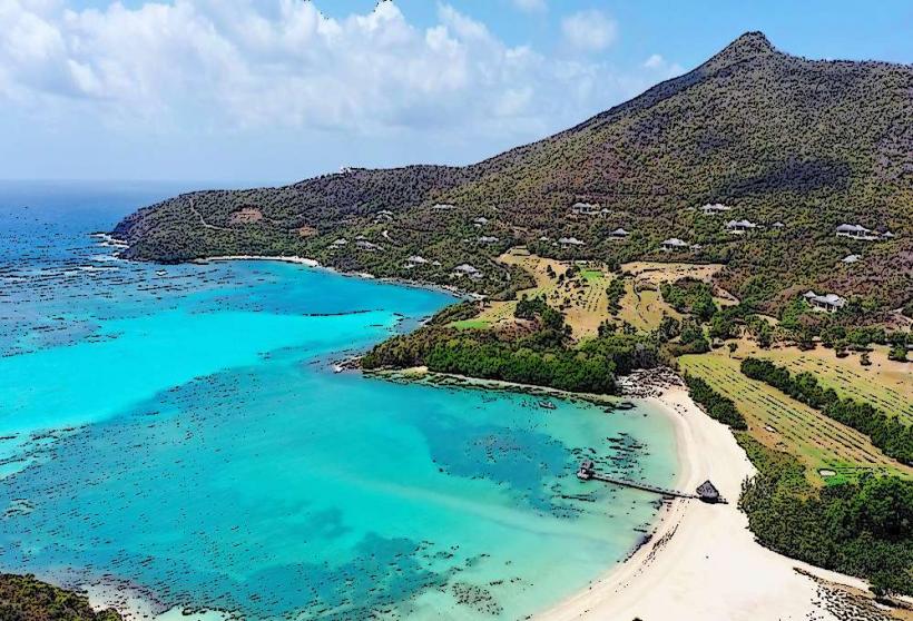
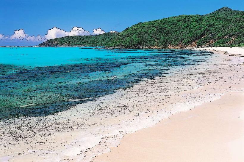
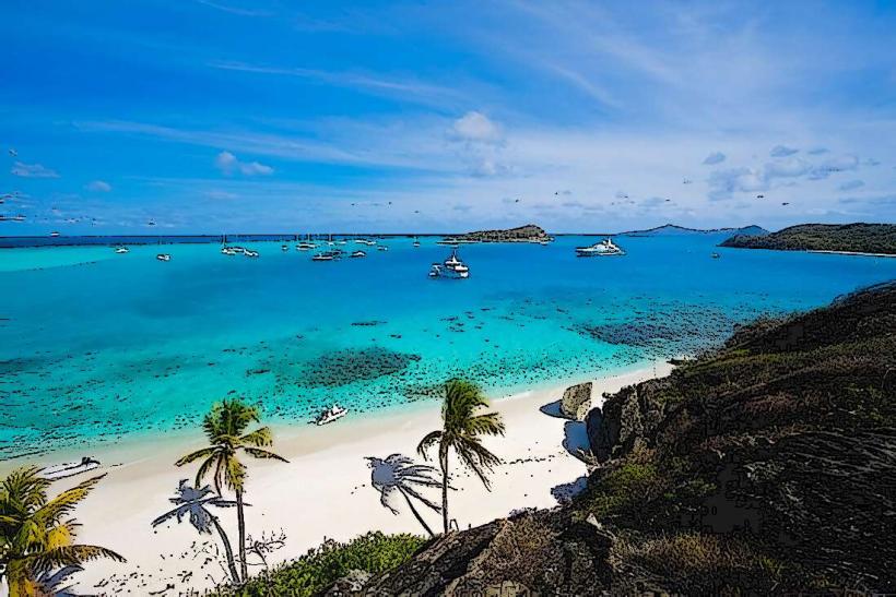
This bay is characterized by its shallow, clear waters and a sandy shoreline.
Visual Characteristics
The bay features a crescent-shaped beach composed of fine, light-colored sand. The water depth increases gradually from the shore, with visibility typically exceeding 10 meters. Offshore, coral formations are present, supporting marine life. The surrounding land is covered in low-lying scrub vegetation and scattered palm trees.
Location & Access Logistics
Charlestown Bayand is situated on the western side of Canouan. It is approximately 2 kilometers southwest of the main settlement. Access is primarily via a paved road that branches off the main island road. Parking is available along the roadside adjacent to the beach. No public transport routes directly serve the bay; arrival is typically by private vehicle or taxi.
Historical & Ecological Origin
The bay is a natural geological formation, a shallow coastal embayment formed by sediment deposition and the growth of coral reefs. Its ecological significance lies in its role as a habitat for various reef fish and invertebrates.
Key Highlights & Activities
Snorkeling is possible in the shallow reef areas. Swimming is suitable in calm conditions. Beachcombing along the shoreline is an available activity. Kayaking can be undertaken when sea conditions are favorable.
Infrastructure & Amenities
There are no permanent structures or amenities directly at Charlestown Bayand. Restrooms, food vendors, and shade are not available at the site. Cell phone signal (4G/5G) is generally present but can be intermittent.
Best Time to Visit
The best time for clear water visibility for snorkeling is during the dry season, from January to April. Mid-morning offers good lighting conditions for photography. Calm sea states are most common in the early morning hours.
Facts & Legends
Local lore suggests that the bay was historically used as a sheltered anchorage for small fishing vessels due to its calm waters. The seabed in the shallower sections is composed of broken coral fragments and shell hash.
Nearby Landmarks
- Mount Taboi (1.5km East)
- Canouan Airport (CIW) (2.0km Northeast)
- Grand Bayand (3.0km South)
- Charlestown Village (2.0km Northeast)