Information
Landmark: Cheonggyecheon StreamCity: Seoul
Country: South Korea
Continent: Asia
Cheonggyecheon Stream, Seoul, South Korea, Asia
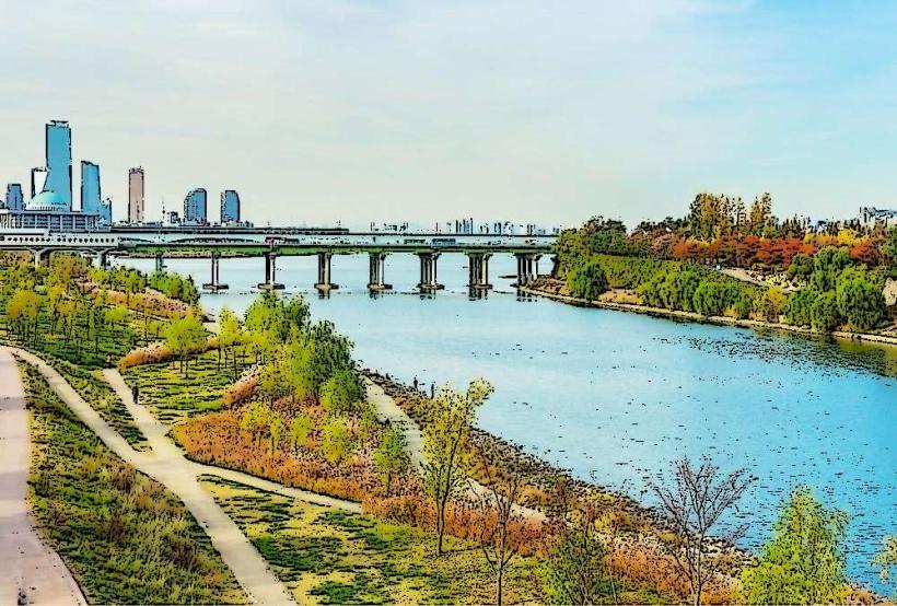
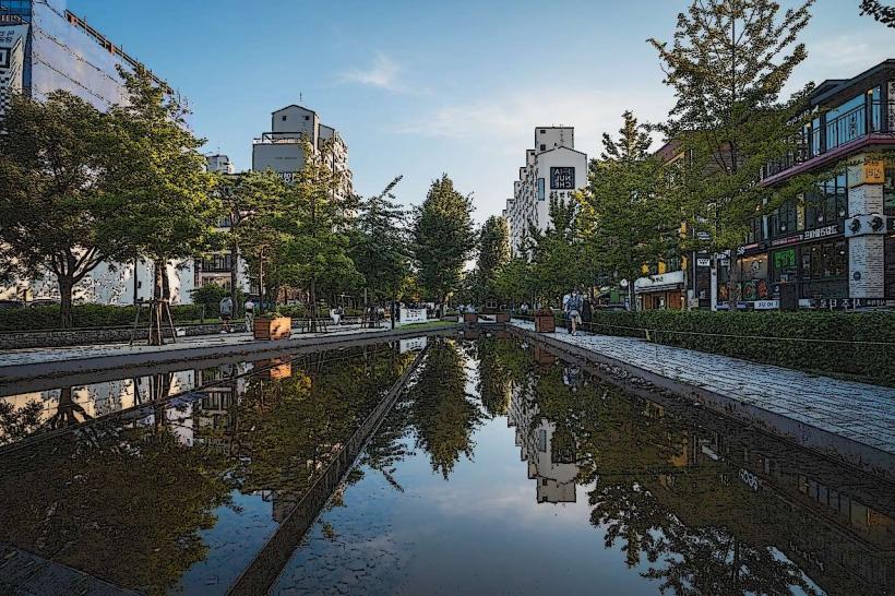
Cheonggyecheon Stream is an urban renewal project that transformed an elevated highway into a 10.9-kilometer-long public recreation space in downtown Seoul, South Korea.
The stream flows from west to east, passing through major commercial and historical districts of the city.
Visual Characteristics
The stream bed is constructed from granite and concrete, with sections featuring naturalistic landscaping. Water depth varies, generally between 0.4 to 1.5 meters. The banks are lined with stone walls and pedestrian walkways. Vegetation includes various trees, shrubs, and flowers planted along the stream's course, with seasonal changes in foliage color. Several bridges, varying in design from modern steel structures to traditional Korean styles, cross the stream.
Location & Access Logistics
Cheonggyecheon Stream is located in the Jung-gu district of Seoul. It begins near Gwanghwamun Square and extends eastward. Access points are numerous along its length. The closest subway stations include Gwanghwamun (Line 5), City Hall (Lines 1 & 2), Euljiro 1-ga (Line 2), Jonggak (Line 1), and Dongdaemun (Lines 1 & 4). Numerous city bus routes service the areas adjacent to the stream. Parking is limited and generally available in commercial parking garages near the stream, with hourly rates. It is recommended to use public transportation.
Historical & Ecological Origin
The current Cheonggyecheon Stream is a result of a large-scale urban redevelopment project completed in 2005. Historically, it was a natural stream that flowed through Seoul. During the Japanese colonial period and post-Korean War era, it was covered over and eventually became an elevated highway in the 1970s. The project aimed to restore the natural environment, improve air quality, and create a recreational space. The water is sourced from the Han River and groundwater, with pumps maintaining flow.
Key Highlights & Activities
Walking and cycling along the designated paths are primary activities. Visitors can observe the diverse bridge designs, including the Cheonggye Plaza Bridge and the Gwangtong Bridge. The stream features several art installations and historical markers. Photography is common, especially during daylight hours. Picnicking is permitted in designated areas. Seasonal events and festivals are occasionally held along the stream.
Infrastructure & Amenities
Restrooms are available at intervals along the stream, particularly near major access points and plazas. Shade is provided by trees and some covered seating areas. Cell phone signal (4G/5G) is generally strong throughout the length of the stream. Food vendors and restaurants are abundant in the surrounding commercial districts, with some cafes and small eateries located directly adjacent to the stream.
Best Time to Visit
For photography, early morning or late afternoon provides optimal lighting conditions, minimizing harsh shadows. The months of April, May, September, and October offer pleasant temperatures and clear skies. Summer months (June-August) can be hot and humid, with a risk of heavy rainfall. Winter months (December-February) are cold but offer fewer crowds. There are no tide-dependent activities as it is an urban stream.
Facts & Legends
During the Joseon Dynasty, Cheonggyecheon was considered a sacred place, and rituals were performed there to appease water spirits. A specific tip for visitors is to explore the sections further east from Gwanghwamun, as they often have fewer crowds and more naturalistic landscaping.
Nearby Landmarks
- Gwanghwamun Square (0.1km West)
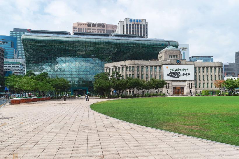
- Seoul City Hall (0.5km Southwest)
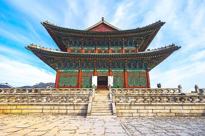
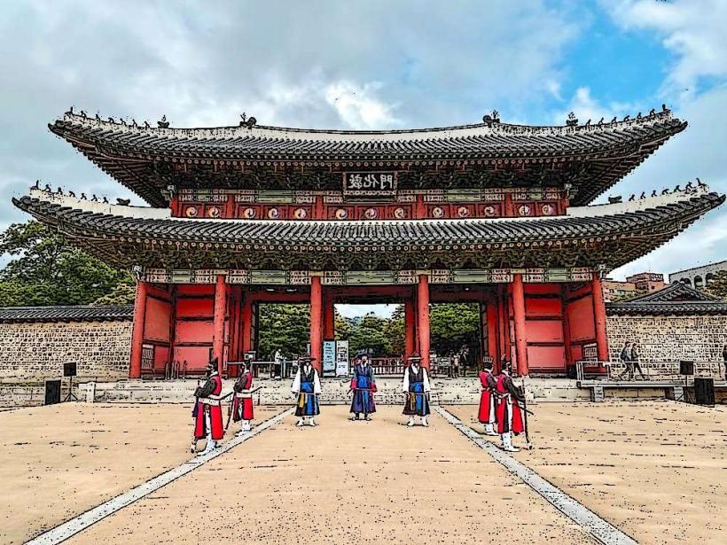
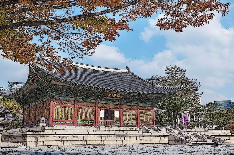
- Gyeongbokgung Palace (1.2km Northwest)
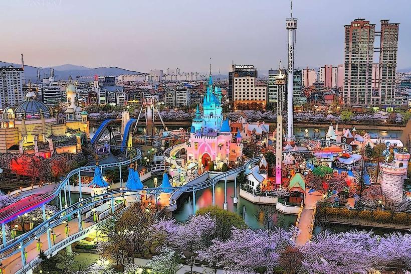
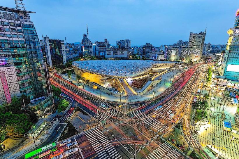
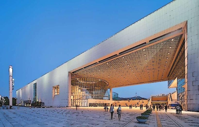
- Dongdaemun Design Plaza (DDP) (2.5km East)
- Changdeokgung Palace (1.8km Northeast)