Information
Landmark: Culloden BattlefieldCity: Inverness
Country: United Kingdom
Continent: Europe
Culloden Battlefield, Inverness, United Kingdom, Europe
Culloden Battlefield is a designated war grave and historic site located on Culloden Moor, approximately 8km (5 miles) east of Inverness, Scotland. It is the site of the final pitched battle fought on British soil.
Visual Characteristics
The site is defined by a vast, high-density expanse of bleak moorland and marshy heather. The terrain is flat and exposed, reflecting the tactical disadvantages faced by the Jacobite forces. Key visual markers include the Memorial Cairn, the "Clan Graves" (marked by simple headstones), and the restored 18th-century Leanach Cottage. Flags (blue for Jacobites, red for Government forces) delineate the original battle lines across the moor.
Location & Access Logistics
The site is located on Culloden Moor (IV2 5EU).
Public Transport: Regular bus services (Route 27) connect Inverness city center directly to the visitor center.
Road: Accessible via the B9006.
Parking: Extensive on-site parking is available; a fee applies for non-members of the National Trust for Scotland.
Access: The visitor center is fully accessible. The battlefield itself features a 2km circular path with a high-fidelity gravel surface suitable for most wheelchairs and strollers.
Historical & Ecological Origin
The battle occurred on April 16, 1746, marking the definitive defeat of the Jacobite Rising led by Charles Edward Stuart (Bonnie Prince Charlie). The site is now under the stewardship of the National Trust for Scotland. Ecologically, the moor is a managed heathland that supports local bird species, such as skylarks, and specialized bog flora.
Key Highlights & Activities
Visitor Centre: Houses a high-definition 360-degree immersion theater and a museum detailing the perspectives of both sides.
The Memorial Cairn: A 6-meter-tall stone structure erected in 1881 to commemorate the fallen.
Clan Graves: Communal burial pits where Jacobite soldiers were interred according to their clan affiliations.
Cumberland’s Stone: A large boulder from which the Duke of Cumberland reportedly surveyed the final stages of the conflict.
Guided Tours: Conducted by experts to explain the tactical maneuvers and the high-density combat that occurred on the site.
Infrastructure & Amenities
The visitor center includes a high-capacity restaurant and a retail shop specializing in Highland history and local crafts. Public restrooms and baby-changing facilities are available on-site. 5G cellular coverage is consistent throughout the moor.
Best Time to Visit
The battlefield is open year-round. The visitor center has seasonal hours (typically 09:00–18:00 in summer). Early morning or late afternoon provides the highest atmospheric fidelity for photography and reflection. Annual commemorative services take place on the weekend closest to April 16.
Facts & Legends
A verified historical oddity is that the battle lasted less than one hour, despite its profound long-term impact on Highland culture. A persistent legend associated with the site is that of the "Great Scree," a supernatural occurrence where visitors report hearing the sounds of battle or seeing phantom soldiers, particularly during the anniversary of the conflict.
Nearby Landmarks
Clava Cairns: 2km Southeast (Bronze Age burial site).
Culloden Viaduct: 2.5km East (Scotland's longest masonry viaduct).
Fort George: 12km Northeast (18th-century artillery fortification).
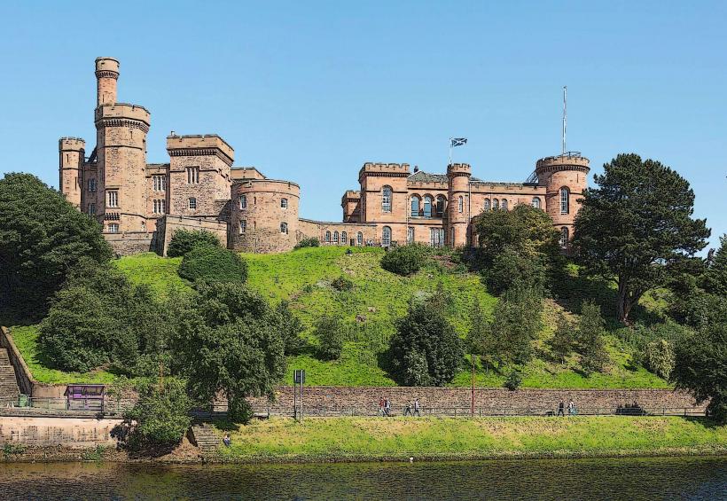
Inverness Castle: 8km West.