Information
Landmark: El Mirador de los SantosCity: Bucaramanga
Country: Colombia
Continent: South America
El Mirador de los Santos, Bucaramanga, Colombia, South America
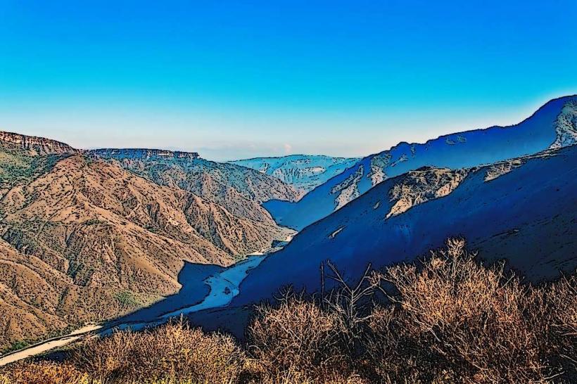
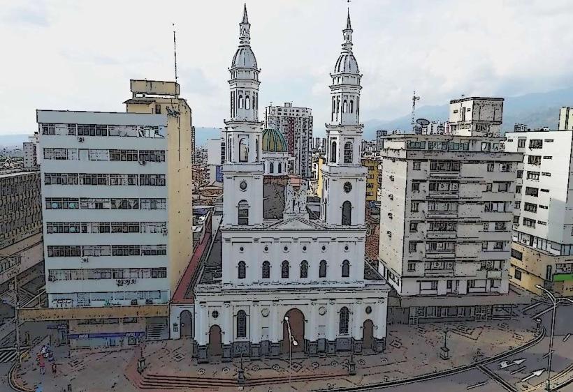
El Mirador de los Santos is a viewpoint located in Bucaramanga, Colombia. It offers panoramic views of the surrounding urban landscape and natural topography.
Visual Characteristics
The viewpoint is a concrete platform with low-level railings. It is situated on a hillside, providing an elevated perspective. The surrounding vegetation consists of mixed scrub and trees, typical of a semi-arid climate.
Location & Access Logistics
El Mirador de los Santos is situated approximately 7 kilometers east of Bucaramanga's city center. Access is via the Carretera Central del Norte (National Route 45A) heading towards Girón. Turn off onto Vía El Mirador. Parking is available in an unpaved lot adjacent to the viewpoint, with capacity for approximately 20 vehicles. Public transport options are limited; local bus line 07, serving the El Mirador route, stops within a 500-meter walk.
Historical & Ecological Origin
The viewpoint was constructed in the late 1980s as part of a municipal initiative to develop public recreational spaces. Ecologically, the site is part of the dry forest ecosystem characteristic of the Santander region, shaped by geological uplift and arid climatic conditions.
Key Highlights & Activities
Observation of the urban sprawl of Bucaramanga and the Santander plains. Photography of the city skyline and the Andes foothills. Walking the short, paved path leading to the main viewing platform.
Infrastructure & Amenities
Restrooms are available at the site, maintained by a local concession. Limited shade is provided by a few strategically placed trees. Cell phone signal (4G) is generally reliable. No food vendors are permanently stationed at the viewpoint, but mobile vendors are sometimes present on weekends.
Best Time to Visit
For optimal lighting conditions for photography, visit during the early morning (07:00-09:00) or late afternoon (16:00-18:00) when the sun angle is lower. The dry season, from December to March and July to August, offers clearer skies and reduced rainfall. There are no tidal considerations.
Facts & Legends
Local lore suggests that on exceptionally clear nights, one can see the lights of distant towns in the neighboring departments, though this is unverified. A specific tip for visitors is to look for the distinctive rock formation known locally as "El Dedo de Dios" (The Finger of God) visible to the southwest on the horizon.
Nearby Landmarks
- Parque del Agua (1.2km West)
- Centro Comercial Cacique (3.5km Southwest)
- Iglesia de San Juan Bautista (Girón) (4.8km West)
- Cerro del Santísimo (4.0km Northwest)