Information
Landmark: EmmentalCity: Bern
Country: Switzerland
Continent: Europe
Emmental, Bern, Switzerland, Europe
The Emmental is a pre-alpine hilly region in the canton of Bern, characterized by its distinctive landscape of steep "Eggen" (ridges) and "Gräben" (narrow valleys). It is the namesake and place of origin for Emmentaler AOP cheese.
Visual Characteristics
The landscape is defined by undulating green hills, dense forests, and large, traditional farmhouse complexes with deep-pitched hipped roofs. The higher altitudes provide panoramic views of the Bernese Alps (Eiger, Mönch, and Jungfrau). Geologically, the region consists of Nagelfluh (conglomerate rock) and sandstone, which erodes into the characteristic sharp valley structures.
Location & Access Logistics
The region lies between Bern and Lucerne.
Primary Hub: The town of Langnau im Emmental is the central logistics point.
Public Transport: Frequent S-Bahn train connections (S2, S4) from Bern to Langnau and Burgdorf. Local post-bus lines serve the smaller valleys.
Vehicle Access: Accessible via the A1 (exit Burgdorf) or A6 (exit Muri) motorways. Narrow, winding roads connect the higher hamlets.
Cycling: The region is a major hub for e-bike tourism, specifically the "Heart Route" (Herzroute).
Historical & Ecological Origin
The Emmental’s identity is rooted in the 17th and 18th centuries when it became a center for high-quality linen and cheese production. The distinctive "Emmental Farmhouse" architectural style developed as a display of agrarian wealth. The region is the setting for the 19th-century literature of Jeremias Gotthelf, who depicted the strict social and moral codes of the valley’s inhabitants.
Key Highlights & Activities
Emmentaler Show Dairy (Affoltern): An interactive facility where the traditional cheese-making process is demonstrated in open copper vats.
Burgdorf Castle: A well-preserved Zähringer castle housing a museum of regional history and ethnology.
Kambly Experience (Trubschachen): A visitor center for the world-famous Swiss biscuit manufacturer, featuring tastings and production insights.
Lüderenalp Viewpoint: A high-altitude pass (1,144m) offering 360-degree views of the Alps and the Jura mountains.
Hiking: A dense network of trails, including the "Napf" mountain (1,408m), the highest peak in the region.
Infrastructure & Amenities
The region features traditional country inns (Landgasthöfe) and small-scale guesthouses. Most villages provide public restrooms at railway stations. 5G coverage is consistent in the main valleys (Emme and Ilfis) but can be intermittent in deep "Gräben." Specialized farm shops selling local "AOP" products are found throughout the area.
Best Time to Visit
May – June: For peak landscape greenery and floral displays on farmhouses.
September – October: For hiking above the fog line with clear Alpine views.
Thursday: Traditionally a market day in Langnau.
Facts & Legends
A verified fact: The characteristic large holes in Emmentaler cheese are caused by carbon dioxide bubbles produced by specific bacteria during the fermentation process. Local legend claims the "Napf" mountain contains hidden gold veins; while gold panning is still practiced in the local streams (Fontannen), findings are minimal.
Nearby Landmarks
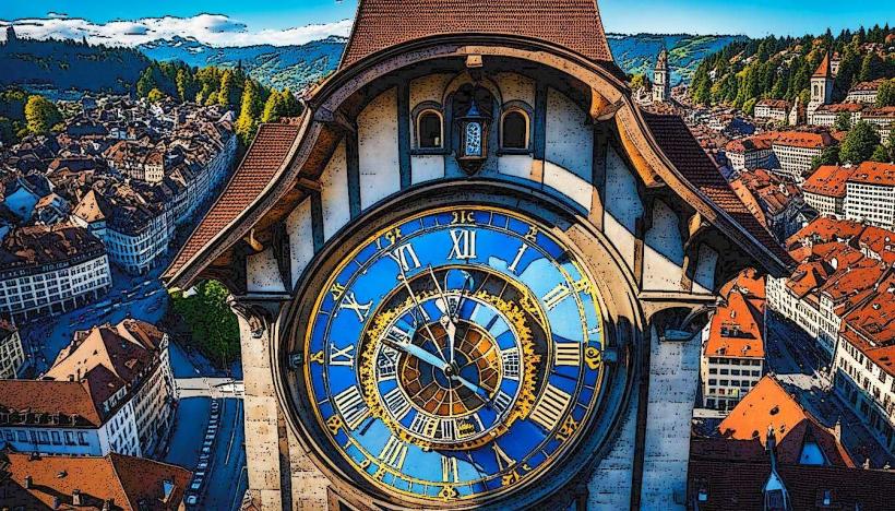
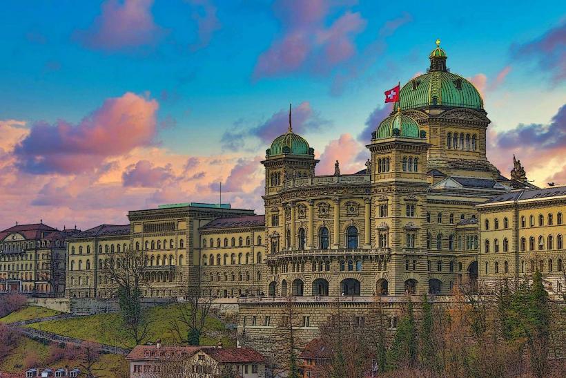
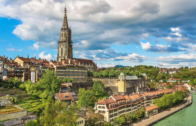
Bern (UNESCO Old City) – 25km West
Lake Thun – 30km South
Entlebuch Biosphere – Adjacent to the East
Solothurn – 30km North