Information
Landmark: Exomvourgo MountainCity: Tinos
Country: Greece
Continent: Europe
Exomvourgo Mountain, Tinos, Greece, Europe
Exomvourgo is a rugged granite mountain and historical fortress site located in the central part of Tinos island. It reaches an elevation of 341 meters and served as the island's capital and primary defensive stronghold from the Byzantine era until the 18th century.
Visual Characteristics
The mountain is a massive, jagged granite monolith that stands in stark contrast to the surrounding schist-based landscape. The summit is characterized by sheer vertical cliffs and a flat plateau containing the ruins of Venetian walls, stone houses, and Byzantine fortifications. A large white marble cross is positioned on the western edge of the summit, visible from most of the southern part of the island.
Location & Access Logistics
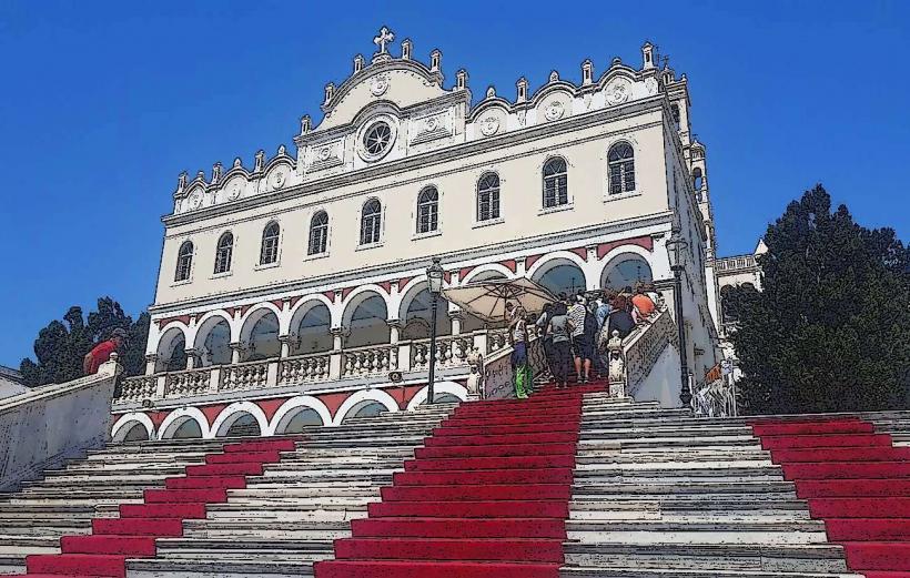
The site is situated approximately 9 kilometers northeast of Tinos town (Chora). Access is via the road toward the village of Tripotamos or Koumarios, followed by a marked trail from the Monastery of the Sacred Heart of Jesus. A small parking area is available near the monastery, from which a stone-paved path leads to the summit, requiring a 20-minute uphill walk. No public bus goes directly to the base of the rock, though buses to Komi or Kalloni stop in nearby villages.
Historical & Ecological Origin
The mountain was inhabited as early as the Copper Age and served as the site of an ancient acropolis. The Venetians built the fortress of Saint Helen on the summit in 1207, which remained unconquered for over 500 years until it was surrendered to the Ottomans in 1715. Geologically, the mountain is a plutonic granite intrusion, similar in composition to the boulder-strewn landscape of the nearby village of Volax.
Key Highlights & Activities
Hiking is the primary activity, with several ancient footpaths connecting the mountain to the villages of Tripotamos, Falatados, and Loutra. The summit provides a panoramic view of the Aegean Sea, including the neighboring islands of Mykonos, Delos, Syros, and Naxos. Rock climbing is popular on the granite faces, which offer over 70 established routes of varying difficulty.
Infrastructure & Amenities
The Monastery of the Sacred Heart of Jesus at the base of the climb serves as a focal point and occasionally provides water and information. There are no restrooms or food vendors on the mountain itself. 4G and 5G mobile signals are strong due to the elevation and lack of obstructions. Shade is non-existent on the exposed rock, and visitors must bring their own supplies.
Best Time to Visit
The best time for hiking is during the early morning or late afternoon to avoid the intense Aegean sun and strong Meltemi winds. For photography, the late afternoon provides dramatic shadows across the granite crags and optimal lighting for the white marble cross. Spring (April–May) offers cooler temperatures and blooming wildflowers along the trails.
Facts & Legends
The fortress was considered the most secure in the Cyclades; it was the last Venetian stronghold in the region to fall to the Ottoman Empire. Local tradition holds that the Venetians chose to surrender the fortress not because of military defeat, but due to a negotiated withdrawal that allowed the inhabitants to leave safely with their property.
Nearby Landmarks
Monastery of the Sacred Heart of Jesus: 0.2km South
Tripotamos Village: 1.5km Southwest
Volax Village: 2.8km Northeast
Monastery of Kechrovouni: 3.5km Southeast
Loutra Village (Ursuline Convent): 1.2km North