Information
Landmark: Fort of São Miguel ArcanjoCity: Nazare
Country: Portugal
Continent: Europe
Fort of São Miguel Arcanjo, Nazare, Portugal, Europe
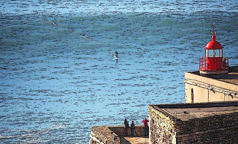
The Forte de São Miguel Arcanjo is a 16th-century military fortification and lighthouse located on the western tip of the Sítio promontory in Nazaré, Portugal. The structure serves as an interpretive center for the big wave phenomenon and a strategic observation point over the Atlantic Ocean.
Visual Characteristics
The fortress features an irregular floor plan adapted to the cliffside topography, with thick masonry walls built from limestone and stone. The building exhibits a Mannerist style with defensive bastions and an entrance portal topped by a sculpted image of Saint Michael the Archangel. A red metallic lighthouse tower, 8 meters in height, is positioned on the upper terrace.
Location & Access Logistics
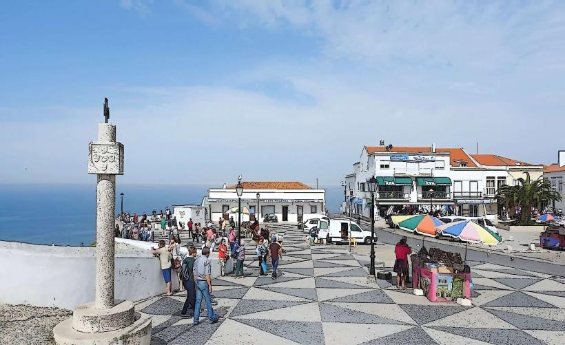
The fort is situated at the terminus of Estrada do Farol, approximately 800 meters west of the Santuário de Nossa Senhora da Nazaré. Access is primarily pedestrian from the Sítio district, though small unpaved parking lots are located along the access road. Public transport users should take the Ascensor da Nazaré to the upper town and walk along the cliffside road.
Historical & Ecological Origin
Original construction began in 1577 under King Sebastian to defend the coast against North African and French pirates. In 1644, King João IV ordered its expansion and structural reinforcement. Geologically, the fort is anchored on a Jurassic limestone cliff that drops into the Nazaré Canyon, a deep-sea gorge that amplifies wave energy.
Key Highlights & Activities
The interior houses the Surfer Wall, a permanent exhibition of surfboards donated by professional big-wave athletes. Visitors can access the ramparts and upper terraces to observe the waves at Praia do Norte from an elevated perspective. An interpretive center provides scientific models explaining how the underwater canyon creates massive swells.
Infrastructure & Amenities
The monument contains restrooms and a ticket office/gift shop inside the main structure. Observation areas are outdoors and highly exposed to wind and sea spray. 5G cellular coverage is available throughout the perimeter. The nearest dining services are located in the main square of the Sítio, roughly a 10-minute walk away.
Best Time to Visit
The fort is open daily from 10:00 to 18:00. The period between October and March is optimal for viewing the world-record waves. For photography, late afternoon provides front-lighting on the fort's facade and direct illumination of the surf breaking against the northern beach.
Facts & Legends
During the Peninsular War (1807–1811), the fort was occupied by Napoleonic troops and became a symbol of resistance when local inhabitants successfully expelled the invaders. A technical detail of interest is the lighthouse installed in 1903, which features a foghorn to assist fishing vessels during periods of zero visibility.
Nearby Landmarks
Praia do Norte – 0.3km North
Farol da Nazaré – 0.01km (integrated into the fort)
Miradouro do Suberco – 0.7km East
Ermida da Memória – 0.75km East
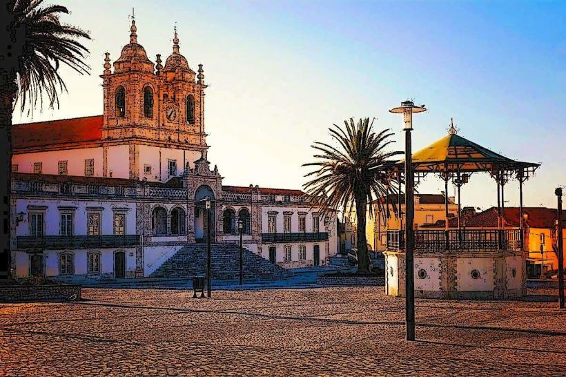
Santuário de Nossa Senhora da Nazaré – 0.8km East