Information
Landmark: Fyris RiverCity: Uppsala
Country: Sweden
Continent: Europe
Fyris River, Uppsala, Sweden, Europe
The Fyris River is a waterway flowing through the city of Uppsala, Sweden. It originates north of Uppsala and empties into Lake Mälaren.
Visual Characteristics
The Fyris River is approximately 30 meters wide within Uppsala's city center. Its water typically appears dark green or brown due to sediment and vegetation. The banks are often lined with stone embankments, pedestrian walkways, and occasional grassy areas. Several bridges cross the river, varying in architectural style from stone arches to modern steel structures.
Location & Access Logistics
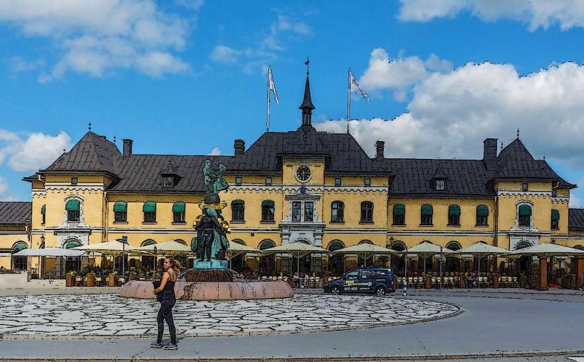
The Fyris River flows directly through the center of Uppsala. It is accessible from numerous points within the city, with major roads like Östra Ågatan and Västra Ågatan running parallel to its banks. The river is within walking distance of Uppsala Central Station, approximately 0.5 km. Public transport includes numerous city bus lines (e.g., lines 1, 2, 4, 7, 8) that have stops along the river's course. Limited street parking is available on adjacent streets, with several paid parking garages (e.g., S:t Per Gallerian) located within 0.2-0.5 km.
Historical & Ecological Origin
The Fyris River is a natural watercourse, historically known as the Sala River. Its current name, Fyrisån, was adopted in the 17th century, referencing the ancient plains of Fyrisfälten. The river's course has been modified in parts for navigation and flood control, particularly around the Islandsfallet rapids, where a fish ladder and locks were constructed. It is a post-glacial river, shaped by the retreat of ice sheets.
Key Highlights & Activities
Activities include kayaking and canoeing, with rental services available seasonally near Uppsala Paddlarklubb. Fishing is permitted with a valid permit, targeting species like pike and perch. Pedestrian and cycling paths run along both banks, facilitating walking and biking. During spring, the annual Fyris River Rafting event takes place, where students navigate homemade rafts.
Infrastructure & Amenities
Public restrooms are available at various points along the river, particularly near major squares and parks such as Stora Torget and Stadsparken. Shade is provided by trees lining the banks and under bridges. 4G/5G cell phone signal is consistently strong throughout the city center along the river. Numerous cafes, restaurants, and food vendors are situated directly adjacent to the riverbanks, especially on Östra Ågatan and Västra Ågatan.
Best Time to Visit
The best time to visit for pleasant weather is from late May to early September, when temperatures are mild. For photography, early morning or late afternoon light provides optimal conditions, particularly for capturing reflections on the water and the architecture along the banks. The river is not tidal, so tide requirements are not applicable. Winter months offer a different aesthetic, with potential for ice skating if the river freezes sufficiently, though this is not guaranteed.
Facts & Legends
A historical oddity is the annual Fyris River Rafting (Fyrishovs Kanotklubb's Forsränning), where students from Uppsala University construct and race homemade rafts down the river on Walpurgis Eve (April 30th). This tradition dates back to 1975. A local tip for visitors is to observe the fish ladder at Islandsfallet, especially during spring and autumn, to see fish migrating upstream.
Nearby Landmarks
- Uppsala Cathedral: 0.3 km West
- Uppsala Castle: 0.7 km Southwest
- Museum Gustavianum: 0.4 km West
- Linnaeus Garden: 0.8 km North
- Uppsala Central Station: 0.5 km Southeast