Information
Landmark: Grand River South East WaterfallCity: Trou dEau Douce
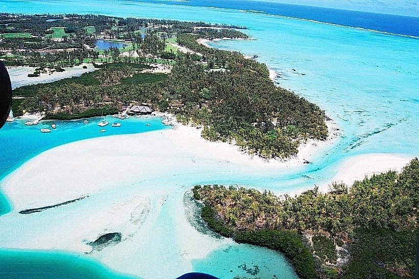
Country: Mauritius
Continent: Africa
Grand River South East Waterfall, Trou dEau Douce, Mauritius, Africa
The Grand River South East Waterfall is a natural landmark located at the mouth of the longest river in Mauritius, where fresh water meets the Indian Ocean lagoon in the Flacq District.
Visual Characteristics
The waterfall consists of several cascades of varying heights falling over dramatic basaltic rock formations. The surrounding environment is characterized by steep, lush green canyon walls and dense tropical vegetation. The water color often shifts from a clear turquoise in the lagoon to a brownish-green near the falls, depending on recent rainfall and silt levels from the highlands.
Location & Access Logistics
The waterfall is situated on the east coast, approximately 3 kilometers south of Trou d’Eau Douce. It is almost exclusively accessed by boat via the river mouth.
Boat Access: Most excursions to Île aux Cerfs include a detour into the GRSE estuary. Small speedboats can navigate close to the base of the falls.
Land Access: There is a viewpoint accessible via a small road in the village of Grand River South East, though the view is less immersive than the river-level approach.
Transport: Visitors typically take a shuttle boat from the Trou d’Eau Douce jetty.
Historical & Ecological Origin
The Grand River South East played a significant role in the colonial era as a source of fresh water and a site for early Dutch and French settlements. Geologically, the waterfall is the result of the river eroding through ancient volcanic basalt flows. Ecologically, the estuary serves as a transition zone between freshwater and marine ecosystems, providing a habitat for fruit bats (Pteropus niger), monkeys (macaques), and various heron species often seen on the canyon walls.
Key Highlights & Activities
Boat Tours: Navigating the winding river mouth to reach the spray zone of the falls.
Wildlife Observation: Spotting monkeys and fruit bats in the overhanging trees along the canyon.
Photography: Capturing the contrast between the dark basalt rocks and the white water of the cascades.
Combined Excursions: Most visitors combine the waterfall visit with snorkeling in the lagoon and a trip to Île aux Cerfs.
Infrastructure & Amenities
There is no infrastructure at the waterfall itself. Visitors remain on their vessels. Amenities are located at the nearby departure points in Trou d’Eau Douce or on Île aux Cerfs. 5G cellular coverage is available but can be intermittent within the deeper parts of the river canyon.
Best Time to Visit
The falls are most impressive during the summer months (December to April) or after heavy rain when the water volume is high. To avoid the congestion of excursion boats, it is recommended to visit before 10:00 or after 15:30. During low tide, the river becomes very shallow, limiting how close larger boats can get to the base of the falls.
Facts & Legends
Local history suggests that the river mouth was used as a hiding spot for corsairs (pirates) due to the deep channels and the concealment provided by the high canyon walls. It is also a site of significant hydro-power potential, part of which has been harnessed for irrigation and energy in the surrounding agricultural areas.
Nearby Landmarks
Île aux Cerfs: 3.5 km North (via boat)
Trou d’Eau Douce: 4.0 km North
Anahita Golf & Spa Resort: 1.5 km East
Beau Champ Sugar Estate: 2.0 km West
Île de la Passe: 12.0 km South