Information
Landmark: Hang Kia - Pa CoCity: Hoa Binh
Country: Vietnam
Continent: Asia
Hang Kia - Pa Co, Hoa Binh, Vietnam, Asia
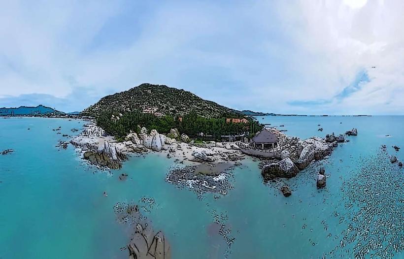
Hang Kia - Pa Co is a highland area located in Mai Chau District, Hoa Binh Province, Vietnam. It is characterized by its karst topography and ethnic minority villages.
Visual Characteristics
The landscape features steep limestone karsts covered in dense tropical vegetation. Valleys are carved between these formations, often containing rice paddies and small settlements. The predominant colors are the green of the foliage and the grey of the rock. Altitude ranges from approximately 1,000 to 1,500 meters above sea level.
Location & Access Logistics
Hang Kia - Pa Co is situated approximately 60 kilometers west of Mai Chau town. Access is primarily via National Highway 6. From Hanoi, it is a journey of roughly 150 kilometers. The road leading into the area is paved but can be winding and steep in sections. Parking is available at designated points near villages and viewpoints, though it is informal. Public transport options are limited; local buses operate to Mai Chau town, from where onward travel typically requires a private car or motorbike taxi.
Historical & Ecological Origin
The geological origin of Hang Kia - Pa Co is karst topography, formed by the dissolution of soluble rocks like limestone over millions of years. Ecologically, it is part of the Northern Vietnam sub-tropical evergreen forests, supporting a diverse range of flora and fauna. The area has been inhabited by ethnic minority groups, primarily the Hmong people, for centuries, with their traditional agricultural practices shaping the landscape.
Key Highlights & Activities
Trekking through the valleys and up to viewpoints is a primary activity. Visiting Hmong villages such as Pa Co and Hang Kia allows for observation of local life and culture. Photography of the landscape, particularly during sunrise and sunset, is recommended. Opportunities exist for interacting with local artisans and purchasing traditional handicrafts.
Infrastructure & Amenities
Basic amenities are available in the main villages. Restrooms are typically found at homestays or designated tourist stops. Shade is provided by natural tree cover in forested areas and by structures in villages. Cell phone signal (primarily 2G/3G) can be intermittent, especially in deeper valleys. Food vendors are present in village centers, offering local dishes. Limited accommodation options, primarily homestays, are available.
Best Time to Visit
The best months for visiting are generally from October to April, avoiding the heavy rains of the monsoon season. The dry season offers clearer skies and more stable weather for trekking. For photography, early morning and late afternoon provide optimal lighting conditions due to the angle of the sun and potential for mist in the valleys.
Facts & Legends
A notable aspect of the area is its historical cultivation of opium poppies, a practice that has largely been phased out. Local legends speak of spirits inhabiting the karst formations, influencing weather patterns and agricultural success.
Nearby Landmarks
- Mai Chau Valley (15km Southwest)
- Thung Khe Pass (20km East)
- Pu Luong Nature Reserve (40km Southwest)
- Hoa Binh Lake (70km Southeast)