Information
Landmark: Hilton Head Island Bike TrailsCity: Hilton Head Island
Country: USA South Carolina
Continent: North America
Hilton Head Island Bike Trails, Hilton Head Island, USA South Carolina, North America
The Hilton Head Island Bike Trails comprise a network of paved and unpaved paths spanning Hilton Head Island, South Carolina. This system facilitates non-vehicular transit across the island's developed areas and natural reserves.
Visual Characteristics
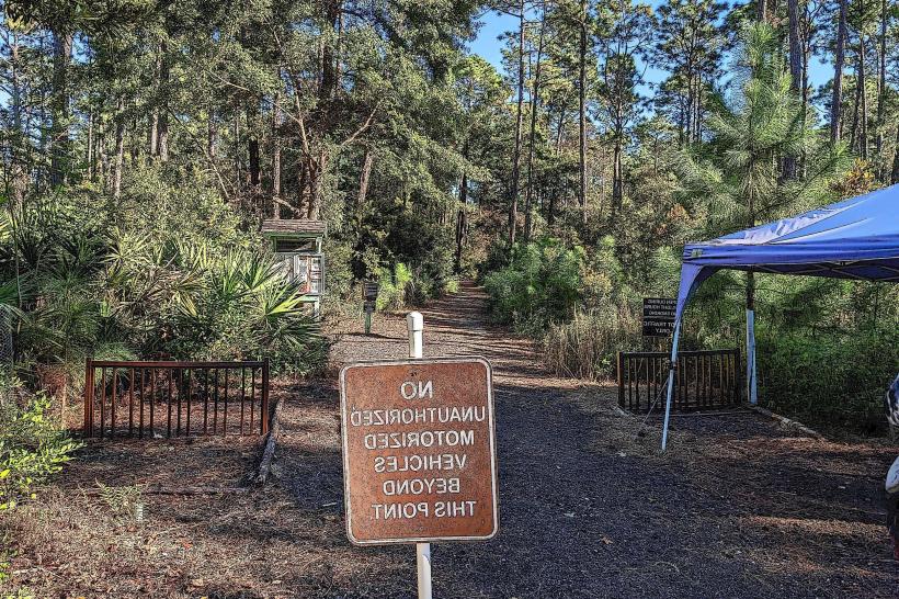
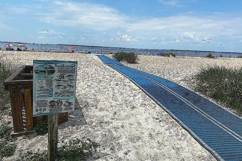
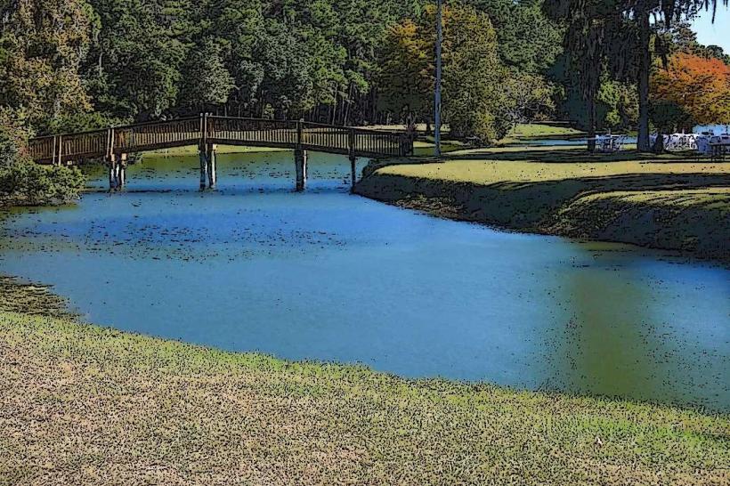
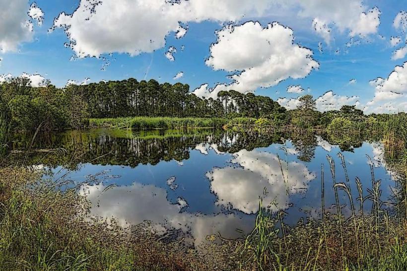
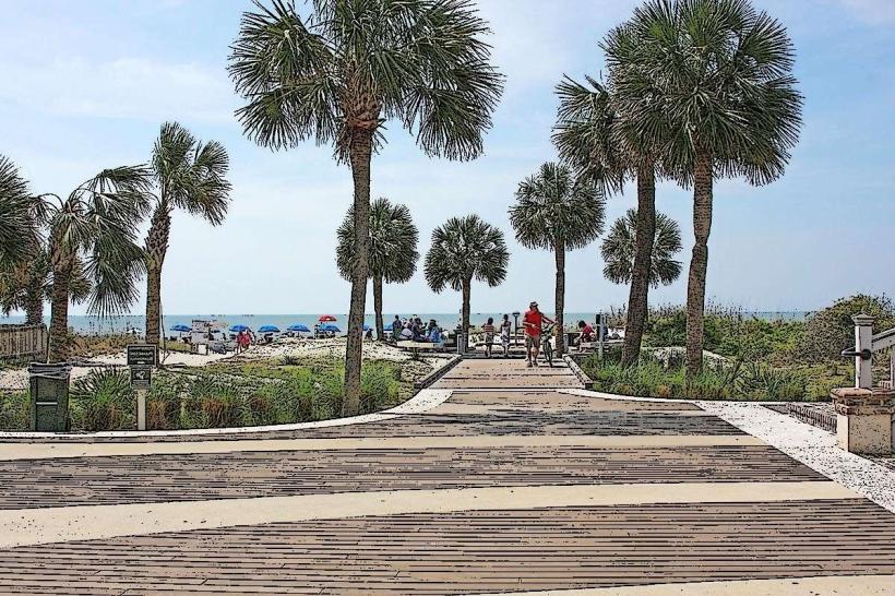
The trails vary in surface. Paved sections are typically asphalt or concrete, measuring approximately 8-10 feet in width. Unpaved sections consist of packed sand, crushed shell, or natural earth, often narrower. The surrounding environment includes maritime forest, marshland, and residential/commercial zones. Tree canopy cover is significant on many routes, providing shade.
Location & Access Logistics
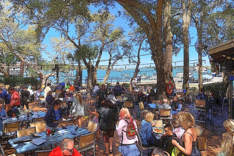
Access points are numerous and distributed island-wide. Major trailheads are located at public parks such as Shelter Cove Community Park (near Shelter Cove Road) and Coligny Beach Park (near Pope Avenue). The network connects to most residential communities and commercial centers. Parking is available at designated park lots and some public beach access points. Public transportation is limited; the island's trolley system does not directly service the bike trails, requiring transfers or personal transport to reach access points.
Historical & Ecological Origin
The initial development of the bike trail system began in the late 1980s, driven by a master plan to promote alternative transportation and recreation. The network was designed to integrate with the island's existing infrastructure and natural landscape, minimizing environmental impact. The trails traverse areas that were historically tidal marshes and maritime forests, now managed for conservation and public access.
Key Highlights & Activities
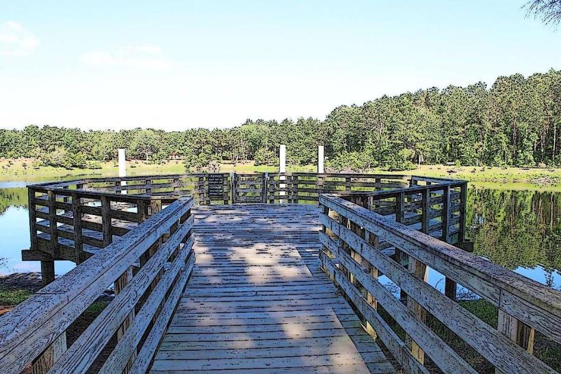
Cycling, jogging, and walking are the primary activities. Specific trails offer access to beach areas, nature preserves like the Pinckney Island National Wildlife Refuge (accessible via a bridge from the island), and various points of interest. The Cross Island Trail provides a continuous route across the island. Birdwatching is common in marshland sections.
Infrastructure & Amenities
Restrooms are available at major park access points and some beach access areas. Shade is provided by tree canopy along many routes. Cell phone signal (4G/5G) is generally consistent across the island, including along most trails. Food vendors and restaurants are located near commercial centers and beach access points, accessible via the trail network.
Best Time to Visit
The best time for cycling is during the morning hours (7:00 AM - 10:00 AM) for cooler temperatures and optimal lighting for photography. The months of March through May and September through November offer the most pleasant weather, with average temperatures ranging from 60°F to 80°F. Summer months (June-August) can be hot and humid, with afternoon thunderstorms being common.
Facts & Legends
A specific section of the trail system, known as the "Old Fort Trail," passes near the remnants of Fort Walker, a Civil War-era earthwork fortification. While not widely publicized, local lore suggests that during certain low tide periods, faint outlines of the original earthworks can be observed in the adjacent marshland.
Nearby Landmarks
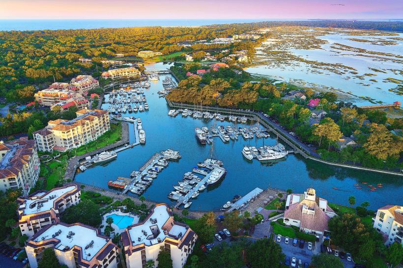
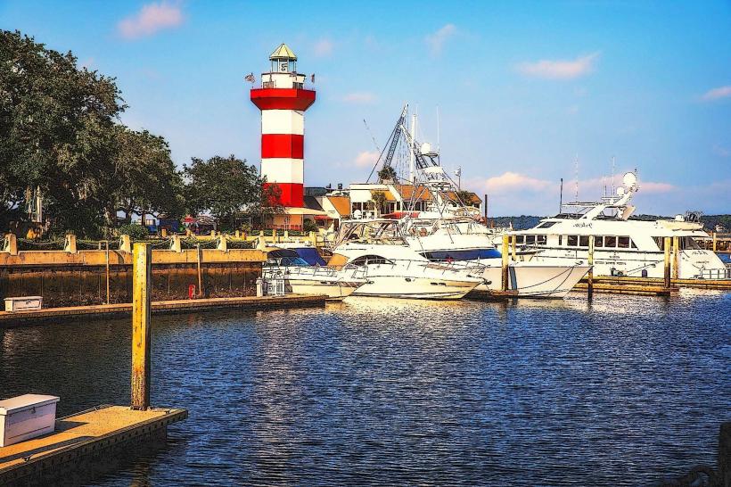
- Shelter Cove Harbour & Marina (0.8km Northwest)
- The Sandbox, an Interactive Children's Museum (1.2km Southwest)
- Coligny Beach (0.3km South)
- Sea Pines Forest Preserve (3.5km Southwest)
- Harbour Town Lighthouse (6.0km Southwest)