Information
Landmark: Huron RiverCity: Ann Arbor
Country: USA Michigan
Continent: North America
Huron River, Ann Arbor, USA Michigan, North America
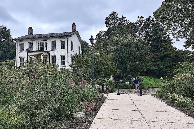
The Huron River is a significant waterway flowing through Ann Arbor, Michigan. It serves as a primary natural feature within the urban landscape.
Visual Characteristics
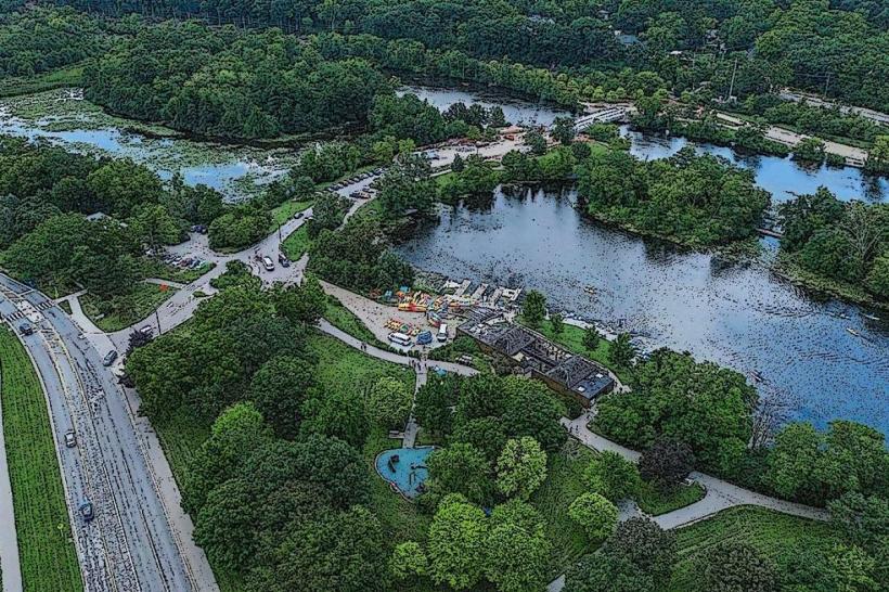
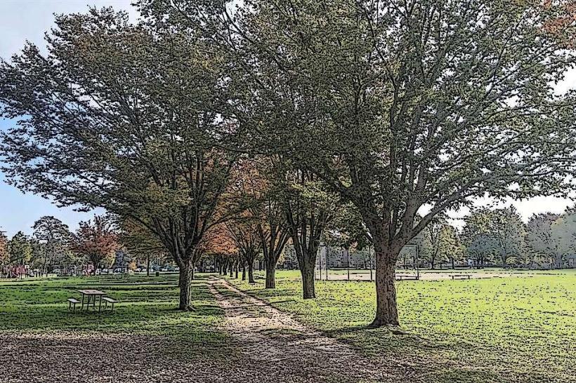
The river's width varies, averaging approximately 50 meters. Water color is typically brown to green, influenced by sediment and algae. The riverbanks are lined with deciduous trees, with exposed rock formations and gravel beds visible in shallower sections. The current speed is moderate, increasing during spring melt.
Location & Access Logistics
The Huron River runs through the center of Ann Arbor. Access points are numerous. The Argo Dam area, located at 100 Longshore Drive, offers parking for approximately 50 vehicles. The Gallup Park area, accessible via 3000 Fuller Road, provides larger parking facilities. Public transport routes serving these areas include the Ann Arbor Area Transportation Authority (AAATA) bus lines 2 and 5. Kayak and canoe launches are situated at multiple points along the river, including at Barton Dam and Swift Run Park.
Historical & Ecological Origin
The Huron River is a natural river system, part of the Great Lakes watershed. Its current course was shaped by glacial activity during the last ice age. Dams, including the Argo Dam (constructed 1910-1911) and Barton Dam (constructed 1913-1914), were built for hydroelectric power generation and water control, significantly altering the river's flow and ecology.
Key Highlights & Activities
Kayaking and canoeing are primary activities, with designated paddling routes. Fishing is permitted in designated areas. Hiking and biking trails follow sections of the river, particularly within Gallup Park and along the Argo Pond. Birdwatching is common due to the riparian habitat.
Infrastructure & Amenities
Restrooms are available at major access points like Gallup Park and the Argo Dam area. Shaded picnic areas are present in Gallup Park. Cell phone signal (4G/5G) is generally consistent along the developed sections of the river within Ann Arbor. No permanent food vendors are located directly on the river, but concessions are available in adjacent parks during peak seasons.
Best Time to Visit
For paddling, water levels are generally suitable from late spring through early fall. Mid-morning offers good lighting for photography of the riverbanks. The months of May through October provide the most favorable weather conditions for outdoor activities. Low tide is not a relevant factor for this river system.
Facts & Legends
The Huron River was historically a vital resource for the Potawatomi and Ojibwa tribes. A specific historical oddity is the presence of the historic Argo Dam, which was partially removed in 2000 to restore river flow, though a smaller dam remains.
Nearby Landmarks
- University of Michigan Museum of Natural History (1.2km Southwest)
- Nichols Arboretum (1.5km Southeast)
- Matthaei Botanical Gardens (4.8km Northeast)
- Kerrytown Market & Shops (1.8km West)
- Ann Arbor Hands-On Museum (1.9km West)