Information
Landmark: Isla IncahuasiCity: Uyuni
Country: Bolivia
Continent: South America
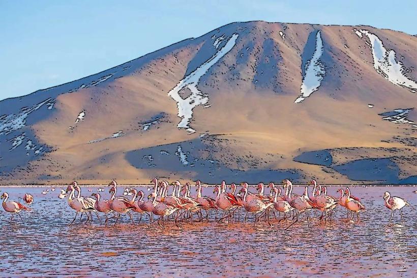
Isla Incahuasi, Uyuni, Bolivia, South America
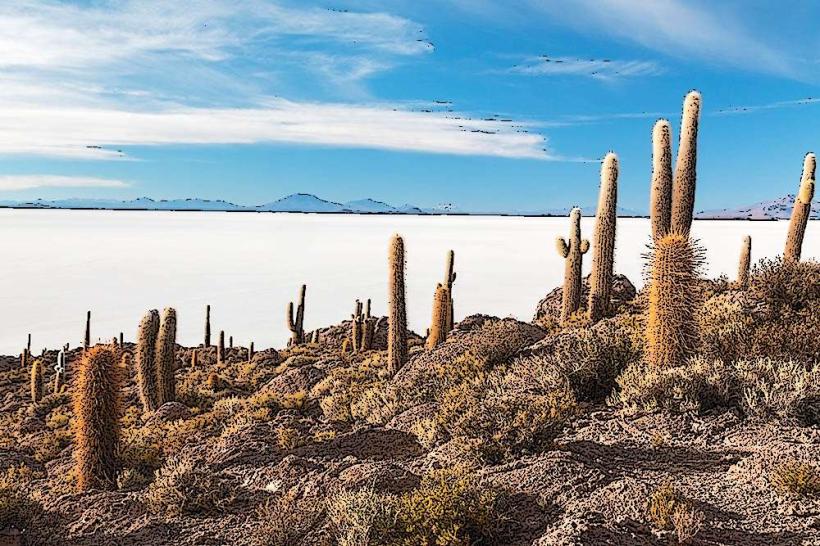
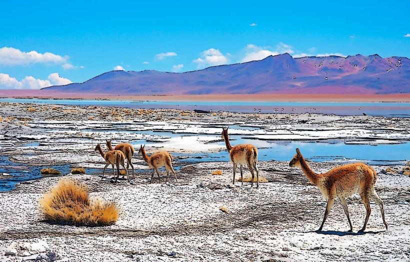
Isla Incahuasi is a rocky outcrop located in the Salar de Uyuni, a salt flat in southwest Bolivia.
The island is characterized by its dense population of large cacti and its geological composition.
Visual Characteristics
The island is composed primarily of fossilized coral and sedimentary rock. It is covered with numerous large cacti, predominantly of the Echinopsis pasacana species, which can reach heights of up to 10 meters. The surrounding landscape is the vast white expanse of the Salar de Uyuni.
Location & Access Logistics
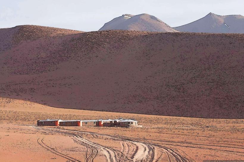
Isla Incahuasi is situated approximately 60 kilometers south of the town of Uyuni. Access is typically via 4x4 vehicle from Uyuni, a journey that takes approximately 1.5 to 2 hours across the salt flats. There is no public transport directly to the island. Parking is available on the periphery of the island, managed by local guides.
Historical & Ecological Origin
Geologically, Isla Incahuasi is believed to be the remnant of an ancient volcano or an ancient island that existed in a prehistoric lake. The large cacti are endemic to the region and have grown over centuries.
Key Highlights & Activities
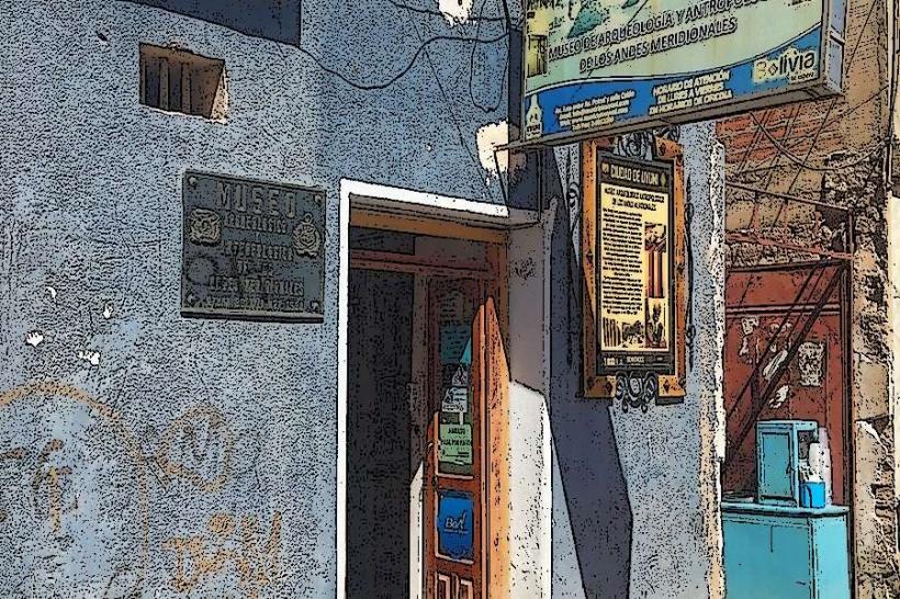
Visitors can walk designated paths around the island to observe the cacti and the panoramic views of the salt flats. A small museum detailing the island's history and geology is present. Photography opportunities are abundant, particularly during sunrise and sunset.
Infrastructure & Amenities
Basic restroom facilities are available on the island. There are limited shaded areas provided by the cacti themselves. Cell phone signal is generally unreliable. Small food and drink vendors are often present near the designated parking area.
Best Time to Visit
The best time of day for photography is during the early morning or late afternoon when the sun's angle creates distinct shadows and highlights on the salt flats and cacti. The dry season, from May to October, offers the most stable weather conditions and accessible salt flats. High tide is not a factor as the island is on a salt flat.
Facts & Legends
The island's name, "Incahuasi," translates to "Inca House" in Quechua, suggesting historical significance related to the Inca Empire. Local lore sometimes speaks of the island as a resting point for Inca travelers.
Nearby Landmarks
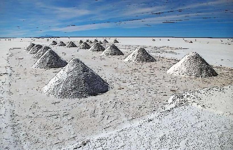
- Salt Hotel (Museo de Sal) - 15km Northwest
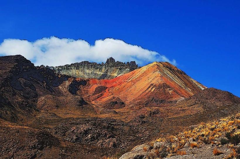
- Tunupa Volcano - 25km North
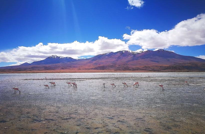
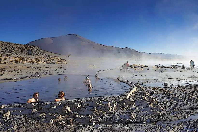
- Ojos de Salar (Salt Eyes) - 30km Southwest
- Salar de Uyuni Viewpoints - Various locations within 5km