Information
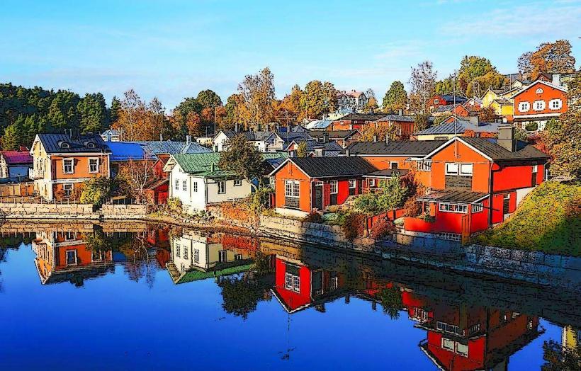
Landmark: Island of Iso-MunakkaCity: Porvoo
Country: Finland
Continent: Europe
Island of Iso-Munakka, Porvoo, Finland, Europe
Visual Characteristics
The island features a varied topography with exposed granite bedrock formations along its coastline and interior. Dominant vegetation includes Scots pine forests and heathland, interspersed with areas of deciduous trees. Shorelines consist of rocky outcrops, small gravel beaches, and some sandy coves. The surrounding Baltic Sea water is typically clear, with a greenish-brown tint characteristic of coastal waters. The island's highest point is approximately 20 meters above sea level.
Location & Access Logistics
Iso-Munakka is situated approximately 25 kilometers southeast of Porvoo city center. Direct road access is not available. Access is primarily by private boat or water taxi from mainland harbors such as Tirmo or Pellinge. Public transport options to these departure points include local bus services from Porvoo, though schedules are limited. Parking is available at mainland marinas for a fee. There are no designated public ferry routes directly to Iso-Munakka.
Historical & Ecological Origin
The island's geological formation is a result of post-glacial rebound following the last ice age, a process that continues to elevate land from the Baltic Sea. It is composed primarily of Precambrian bedrock, characteristic of the Finnish coastline. Ecologically, Iso-Munakka is classified as a typical outer archipelago island, supporting a boreal forest ecosystem adapted to coastal conditions and saline influences.
Key Highlights & Activities
Visitors can engage in informal hiking along existing paths and open terrain. Swimming is possible from the island's various coves and rocky shores. Designated areas are available for picnicking and setting up temporary camps. Fishing is permitted with appropriate licenses.
Infrastructure & Amenities
Basic amenities on Iso-Munakka include several dry toilets (outhouses) maintained by local authorities. Limited designated campfire sites are available, often equipped with firewood. There is no piped water or electricity. Cell phone signal (4G/5G) is generally available across the island, though coverage may vary in sheltered areas. No permanent food vendors or shops are present on the island.
Best Time to Visit
The optimal period for visiting Iso-Munakka is from June to August, when temperatures are mildest and the sea is suitable for swimming. For photography, early morning or late afternoon light provides softer illumination of the landscape. Access during winter months is challenging due to ice conditions and limited services. No specific high/low tide requirements affect access or activities, as tidal ranges in the Baltic Sea are minimal.
Facts & Legends
Local lore suggests that Iso-Munakka, like many islands in the Porvoo archipelago, was historically used as a temporary base by fishermen and seal hunters. A verified historical oddity is the presence of old stone markers, possibly indicating historical fishing territories or navigation points, though their exact origin remains undocumented. A practical tip for visitors is to bring all necessary supplies, including drinking water, as no provisions are available on the island.
Nearby Landmarks
- Långholmen Island: 2km North-West
- Stora Fagerö Island: 3km East
- Lilla Fagerö Island: 3.5km East
- Pellinge Island: 5km West