Information
Landmark: Johnson LakeCity: Norfolk
Country: USA Nebraska
Continent: North America
Johnson Lake, Norfolk, USA Nebraska, North America
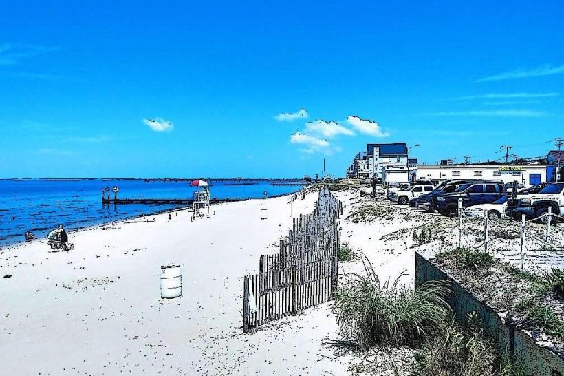
Johnson Lake is a reservoir located in central Nebraska, USA, near the city of Lexington.
Visual Characteristics
The lake's surface area is approximately 2,600 acres. Shorelines are characterized by a mix of sandy beaches and vegetated areas with native grasses and cottonwood trees. Water clarity varies based on recent rainfall and wind conditions.
Location & Access Logistics
Johnson Lake is situated approximately 10 miles west of Lexington, Nebraska. Access is via State Highway 23. Turn south onto County Road 740 (also known as Johnson Lake Road). The lake is accessible from this road, with multiple designated entry points and parking areas. There is no direct public transport to the lake; personal vehicle is required.
Historical & Ecological Origin
Johnson Lake was formed by the construction of the Johnson Lake Dam on the Medicine Creek, a tributary of the Platte River. The dam was completed in 1965 by the Bureau of Reclamation as part of the Pick-Sloan Missouri Basin Program. Its primary purpose was flood control and water supply for irrigation.
Key Highlights & Activities
Activities include boating, fishing for species such as walleye, bass, and crappie, and swimming in designated areas. Several boat ramps are available for watercraft launch. Hiking trails are present around the perimeter of the lake.
Infrastructure & Amenities
Restrooms are available at several points around the lake, particularly near public access areas and campgrounds. Shade is provided by natural vegetation and some picnic shelters. Cell phone signal (4G) is generally available in most areas around the lake. Limited food vendors may operate seasonally near main access points.
Best Time to Visit
For water activities, the months of June through August offer the warmest water temperatures. Early morning and late evening provide optimal lighting conditions for photography due to reduced glare on the water's surface. Fishing is often productive during spring and fall.
Facts & Legends
A specific local oddity is the presence of a submerged concrete structure, remnants of an older bridge, which serves as an artificial reef for fish. Anglers often target this area.
Nearby Landmarks
- Lexington Arch (15km Northeast)
- Platte River State Recreation Area (25km East)
- Fort Kearny State Historical Park (30km Southeast)