Information
Landmark: Koh Hin NgamCity: Satun
Country: Thailand
Continent: Asia
Koh Hin Ngam, Satun, Thailand, Asia
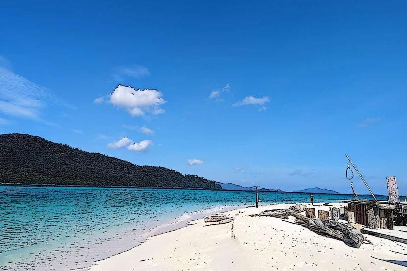
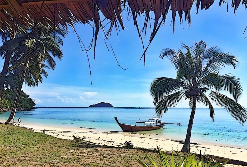
Koh Hin Ngam is a small island located in the Tarutao National Marine Park, off the coast of Satun Province, Thailand. It is characterized by its unique geological composition and limited vegetation.
Visual Characteristics
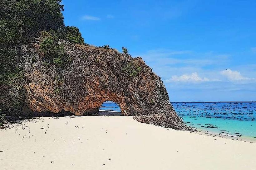
The island is composed primarily of dark, smooth, volcanic rocks. These rocks form the entirety of the island's surface, with very little soil or sand visible. Vegetation is sparse, consisting mainly of small shrubs and hardy grasses that manage to grow in crevices between the rocks.
Location & Access Logistics
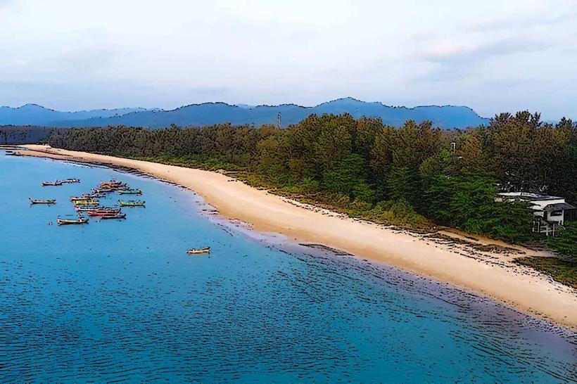
Koh Hin Ngam is situated approximately 30 kilometers southwest of Pak Bara Pier in Satun Province. Access is exclusively by boat, typically longtail boats or speedboats departing from Pak Bara Pier. The journey takes approximately 45-60 minutes. There is no dedicated parking on the island itself; boat services usually include drop-off and pick-up. Public transport to Pak Bara Pier involves buses from major cities like Bangkok or Hat Yai.
Historical & Ecological Origin
The island is a product of volcanic activity, formed from solidified lava flows that have been shaped by wave erosion over millennia. Its ecological classification is a rocky islet, with a limited capacity to support diverse flora and fauna due to the lack of soil.
Key Highlights & Activities
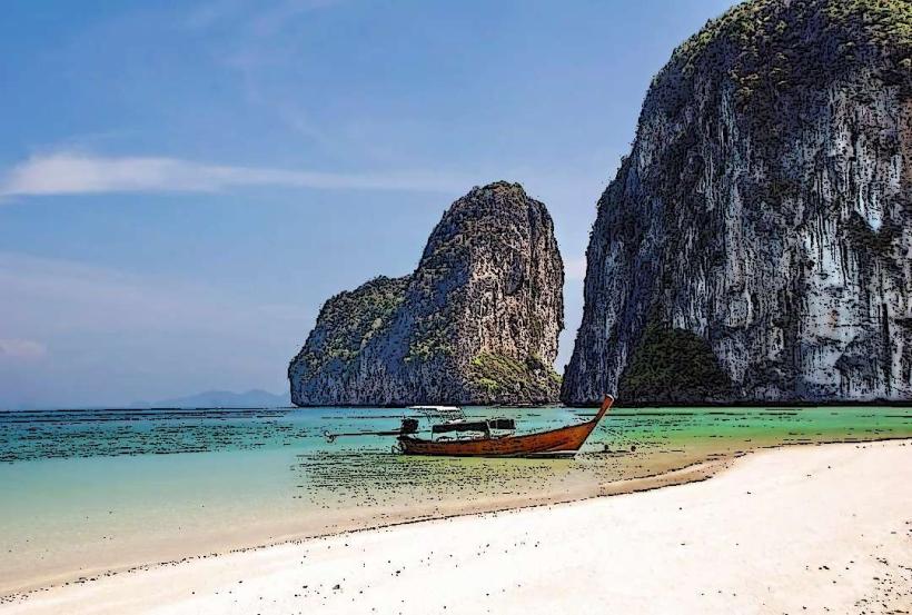
The primary activity is observing the unique rock formations and the contrast between the dark rocks and the surrounding clear water. Snorkeling is possible around the island's perimeter, particularly in areas where coral growth is present on submerged rocks. There are no marked trails for hiking.
Infrastructure & Amenities
Koh Hin Ngam has no permanent infrastructure. There are no restrooms, no shade structures, and no food vendors. Cell phone signal is generally unreliable due to the island's remote location and rocky terrain.
Best Time to Visit
The best time of day for photography is during the morning or late afternoon when the sun angle creates distinct shadows on the rocks. The dry season, from November to April, offers the most favorable weather conditions with calmer seas. High tide is preferable for snorkeling to access submerged areas.
Facts & Legends
A local legend states that any visitor who removes a rock from Koh Hin Ngam will experience bad luck. This belief is thought to have originated to preserve the island's unique appearance and prevent erosion.