Information
Landmark: Korčula HarbourCity: Korcula
Country: Croatia
Continent: Europe
Korčula Harbour, Korcula, Croatia, Europe
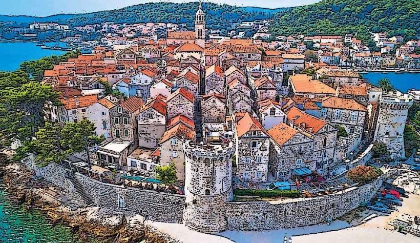
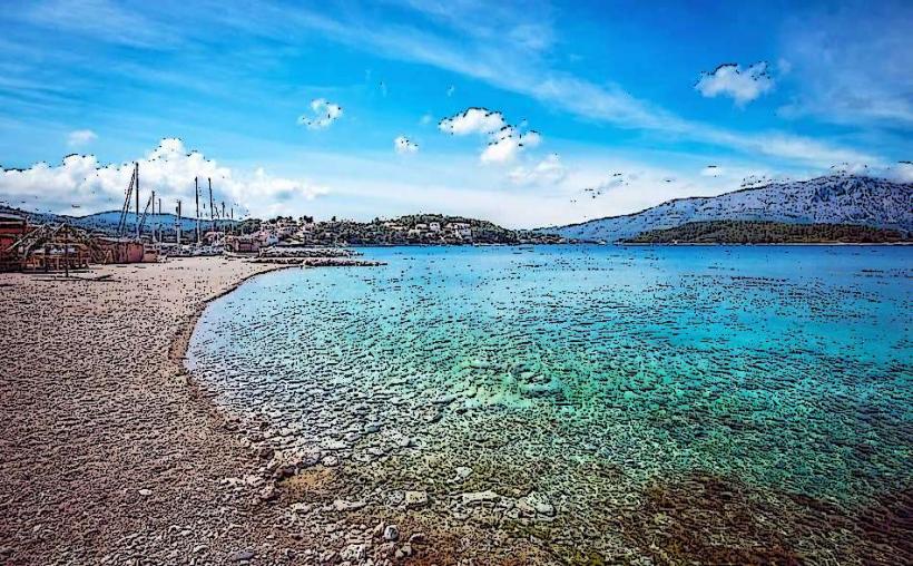
Korčula Harbour consists of two primary maritime zones: the West Port and the East Port, which flank the medieval Old Town peninsula. It serves as the main gateway to Korčula Island and a critical transport link in southern Dalmatia.
Visual Characteristics
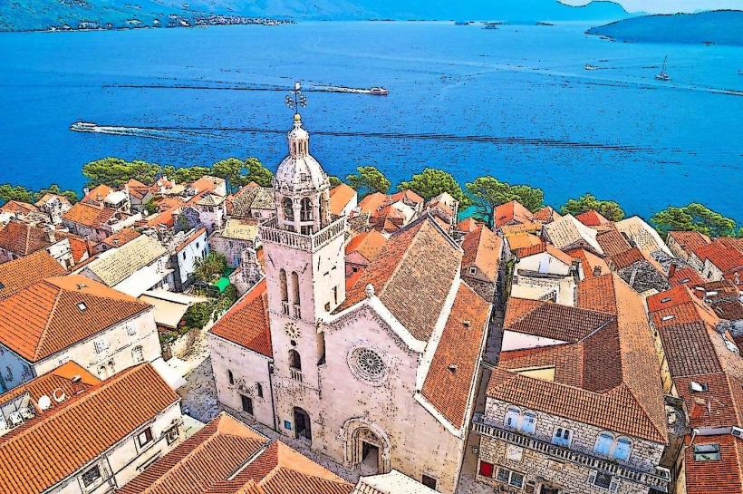
The harbour area is characterized by white Brač stone piers and a deep blue waterfront lined with palm trees. The West Port offers a direct view of the Revelin Tower and the Old Town's fortifications, while the East Port and the adjacent ACI Marina provide views toward the Pelješac Peninsula. The basin is frequently occupied by a mix of high-speed catamarans, traditional wooden "trabakul" excursion boats, and local fishing vessels.
Location & Access Logistics
The harbour areas are situated at the base of the Korcula-old-town_korcula" class="underline">Korčula Old Town peninsula.
West Port (Zapadna luka): Located on the western side of the Old Town. This is the primary berth for catamarans arriving from Split, Hvar, and Dubrovnik.
East Port (Istočna luka) & ACI Marina: Located on the eastern side. Used primarily for larger ferries and private yachts.
Access: Fully pedestrianized waterfront; motorized traffic is restricted to the peripheral roads.
Parking: Limited paid parking is available near the ACI Marina and the ferry terminal.
Historical & Ecological Origin
The harbour has been utilized since antiquity due to its strategic position on the Adriatic maritime routes. The current layout was largely defined during the Venetian period (1420–1797) when the town's fortifications were integrated with the port infrastructure. Ecologically, the harbour benefits from the strong currents of the Pelješac Channel, which maintain water clarity despite the high volume of maritime traffic.
Key Highlights & Activities
Catamaran Terminal: The central arrival point for passenger-only high-speed vessels.
ACI Marina Korčula: A full-service marina located just east of the Old Town, providing 135 berths for yachts up to 40 meters.
Puntin (Lighthouse): A historic lighthouse and viewpoint at the western tip of the harbour.
Waterfront Promenade: Lined with outdoor bars and restaurants that utilize the sunset views over the Pelješac Channel.
Infrastructure & Amenities
The harbour is the island's infrastructure core.
Transport: Includes the primary bus station (0.2km South), taxi stands, and car rental agencies.
Connectivity: 5G signal is exceptional across the waterfront.
Facilities: Features public restrooms, ferry ticket kiosks (Jadrolinija, Krilo), and several banks with ATMs.
Best Time to Visit
Logistics: Mid-morning is peak arrival time for catamarans, resulting in high pedestrian density.
Photography: The West Port is optimal for sunset photography as the sun sets behind the hills of Pelješac.
Dining: Late evening is preferred for dining on the eastern wall for cooler temperatures and views of the marina.
Facts & Legends
A historical oddity is the "Knežev prolaz" (Governor’s Passage), which allowed the Venetian governor to access the harbour directly from his palace. Local maritime lore claims the harbour's orientation was designed to provide shelter from the "Bura" wind, though the West Port remains exposed to the "Maestral" and "Lebić" winds, which can occasionally divert catamarans to the more protected East Port.
Nearby Landmarks
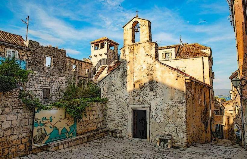
Revelin Tower (Land Gate) – 0.05km East
St. Mark’s Cathedral – 0.2km North
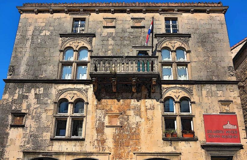
Korčula Town Museum – 0.2km North
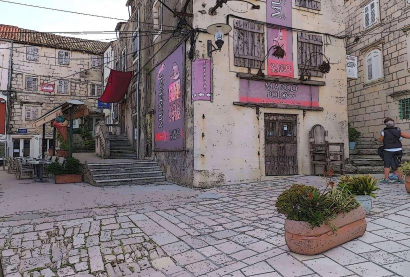
Marco Polo House – 0.25km North
Tower of All Saints – 0.15km Southeast