Information
Landmark: Lago AreguáCity: Aregua
Country: Paraguay
Continent: South America
Lago Areguá, Aregua, Paraguay, South America
Lago Areguá is a freshwater lake situated within the city limits of Areguá, Paraguay.
It serves as a significant natural feature and recreational area for the local population.
Visual Characteristics
The lake's surface area varies seasonally. Water color ranges from a muddy brown to a greenish hue depending on rainfall and sediment levels. The shoreline is characterized by a mix of sandy patches and areas with dense aquatic vegetation, particularly reeds and water lilies. Surrounding the lake are low-lying hills covered in mixed forest and scrubland.
Location & Access Logistics
Lago Areguá is located approximately 30 kilometers east of Asunción, the capital city. Access is primarily via National Route 2 (Ruta Nacional Gral. José Gervasio Artigas). From Areguá's city center, follow Avenida Mariscal López south for approximately 2 kilometers. Several unpaved access roads lead directly to the lake's edge. Limited informal parking is available at designated points along these roads. Public transport options include local bus lines that run from Asunción to Areguá; from the Areguá bus terminal, a taxi or a local moto-taxi is required to reach the lake.
Historical & Ecological Origin
Lago Areguá is a natural depression that has filled with water over time. Its formation is linked to the geomorphology of the Paraná River basin. Ecologically, it is classified as a shallow, eutrophic lake, supporting a diverse range of aquatic flora and fauna adapted to its conditions. The lake has historically been a source of water and a fishing ground for the local community.
Key Highlights & Activities
Boating, including kayaking and small motorboat use, is permitted on the lake. Fishing is a common activity, with local species including pacu and surubí. Walking or cycling along the lake perimeter is possible on informal trails. Birdwatching is also a notable activity due to the presence of various waterbirds.
Infrastructure & Amenities
Basic infrastructure is minimal. Some areas near the lake have informal food stalls or vendors selling snacks and drinks, particularly on weekends. Restrooms are not consistently available and are generally limited to private establishments that may charge a fee. Shade is provided by natural vegetation. Cell phone signal (4G) is generally available in most areas around the lake.
Best Time to Visit
The best time for clear water visibility and pleasant temperatures is during the dry season, from May to September. Mornings offer softer light for photography. During the rainy season (October to April), water levels rise, and the water can become more turbid. High tide is not a relevant factor for this freshwater lake.
Facts & Legends
A local legend suggests that the lake was formed by the tears of a heartbroken indigenous princess. A verified historical fact is that the lake's water quality has been a subject of environmental studies due to agricultural runoff and urban development in the surrounding areas.
Nearby Landmarks
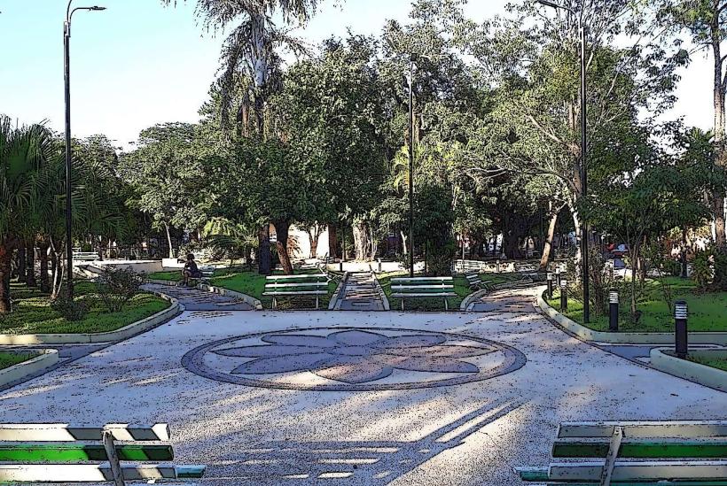
- Parque de la Amistad (0.8km Northwest)
- Iglesia de la Candelaria (1.5km North)
- Cerro Koi (3.2km Southwest)
- Cerro Chorori (4.1km West)