Information
Landmark: Lake WakatipuCity: Queenstown
Country: New Zealand
Continent: Australia
Lake Wakatipu, Queenstown, New Zealand, Australia
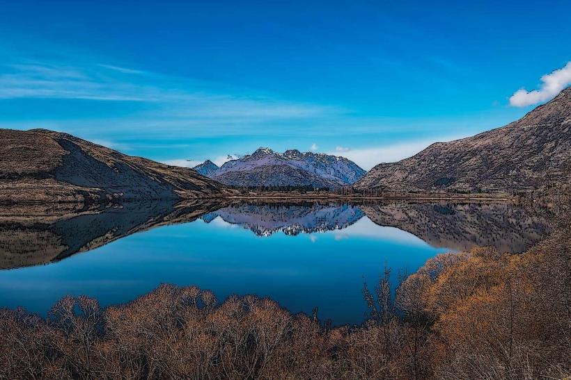
Lake Wakatipu is a large, Z-shaped freshwater lake located in the South Island of New Zealand, near the town of Queenstown.
It is the third-largest lake by surface area in New Zealand and the longest in the country.
Visual Characteristics
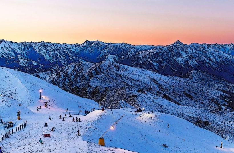
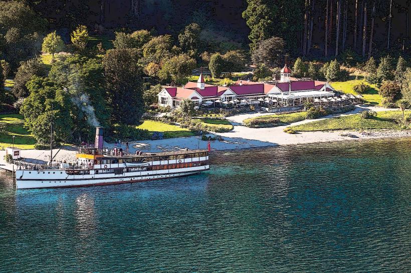
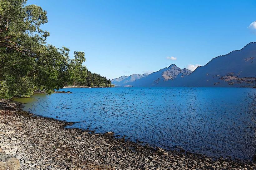
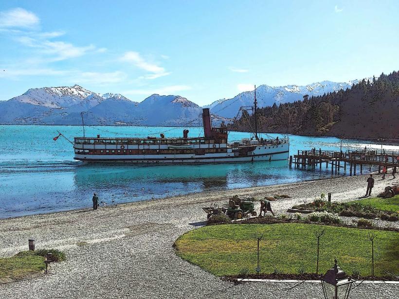
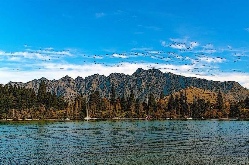
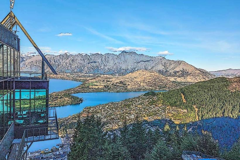
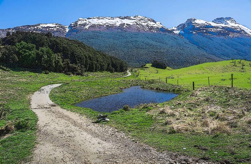
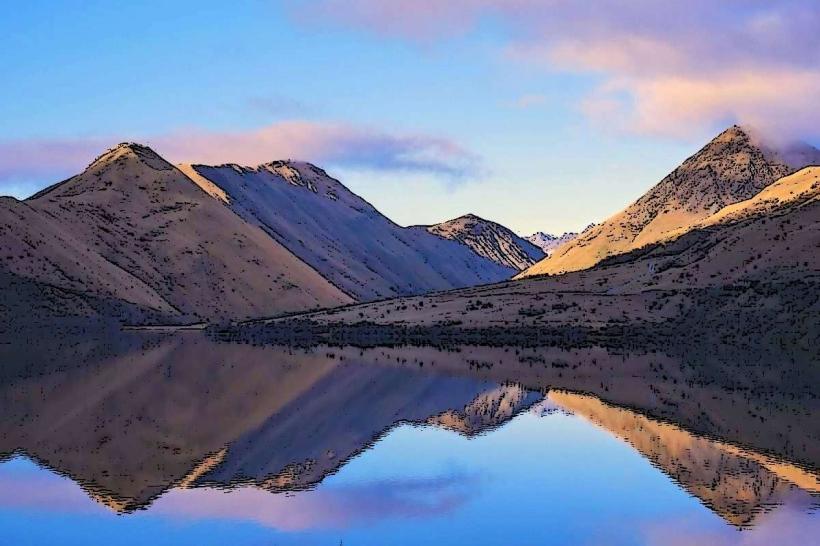
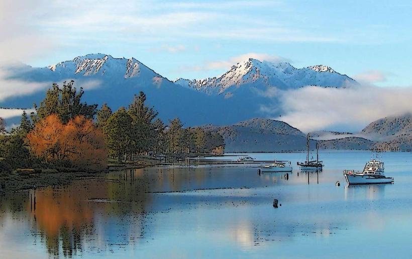
The lake's surface area is approximately 298 square kilometers. Its depth reaches a maximum of 379 meters. The water color is typically a deep blue, influenced by the surrounding mountain ranges. The shoreline varies, featuring gravel beaches and rocky outcrops. The lake is surrounded by the Southern Alps, with prominent peaks including The Remarkables mountain range to the southeast.
Location & Access Logistics
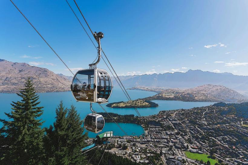
Lake Wakatipu is situated approximately 3 kilometers southeast of Queenstown's central business district. Access is primarily via State Highway 6, which runs along the northern and eastern shores. Numerous public access points and parking areas are available along the highway. Queenstown Airport (ZQN) is located 8 kilometers west of the lake. Public transport options include local bus services that connect Queenstown to various points along the lakefront.
Historical & Ecological Origin
Lake Wakatipu is a glacial lake, formed by the erosive action of glaciers during the Pleistocene epoch. The lake basin was carved out by ice sheets, and its distinctive Z-shape is attributed to the confluence of multiple glacial valleys. The lake is part of the Kawarau River catchment.
Key Highlights & Activities
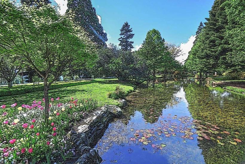
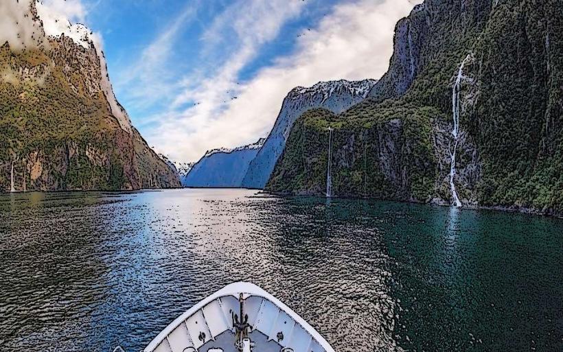
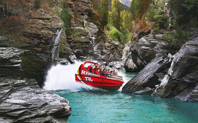
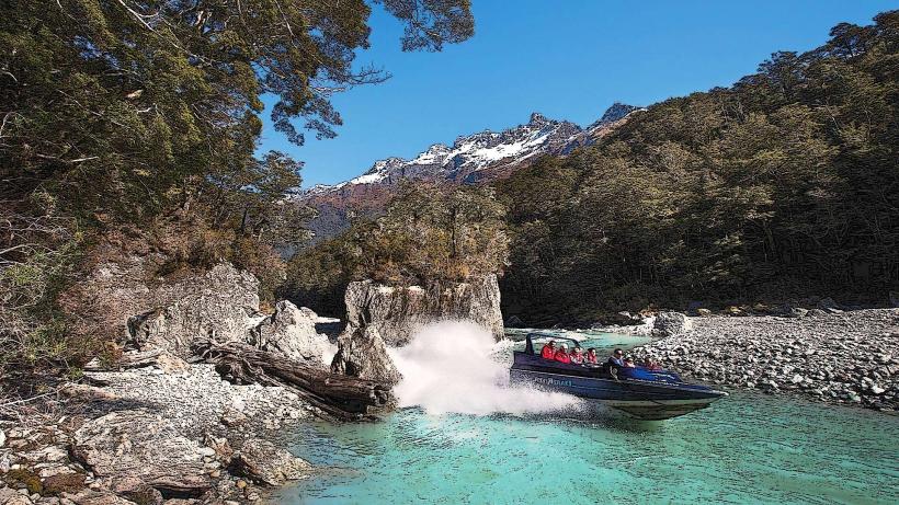
Activities include scenic boat cruises on the TSS Earnslaw steamship, kayaking, paddleboarding, and fishing. Hiking trails are accessible along sections of the shoreline and in the surrounding mountains. The Queenstown Gardens offer walking paths and recreational facilities adjacent to the lake.
Infrastructure & Amenities
Restrooms are available at various points along the lakefront, particularly in Queenstown. Shade is provided by trees in designated park areas. Cell phone signal (4G/5G) is generally strong in areas close to Queenstown and along the main access roads. Food vendors and cafes are concentrated in Queenstown and at specific tourist points along the lake.
Best Time to Visit
For photography, early morning and late afternoon offer favorable lighting conditions due to the angle of the sun on the surrounding mountains. The best months for pleasant weather are typically from December to February (summer) and March to May (autumn). Wind conditions can vary, impacting water activities.
Facts & Legends
A local Māori legend describes the lake's formation as the imprint of a giant monster's body, with the three arms of the lake representing the monster's legs, body, and head. The central island, Bob's Peak, is said to be the monster's heart.
Nearby Landmarks
- Skyline Queenstown (0.8km Northwest)
- Queenstown Gardens (1.2km West)
- Kawarau Bridge (25km East)
- Arrowtown (20km Northwest)
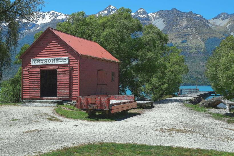
- Glenorchy (45km Northwest)