Information
Landmark: Macqueripe BayCity: Chaguaramas
Country: Trinidad and Tobago
Continent: North America
Macqueripe Bay, Chaguaramas, Trinidad and Tobago, North America
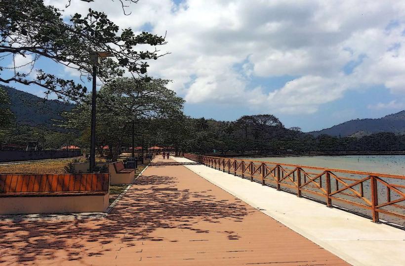
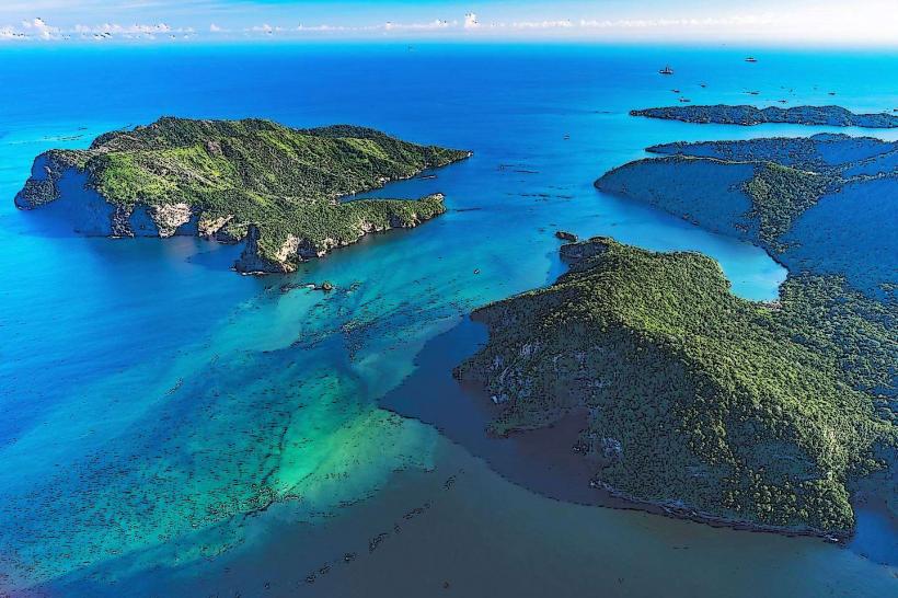
Macqueripe Bay is a coastal inlet located in the Chaguaramas peninsula of Trinidad and Tobago.
This bay is characterized by its calm, shallow waters and surrounding tropical vegetation.
Visual Characteristics
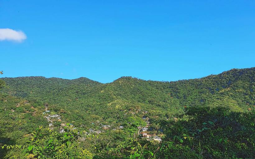
The bay features a crescent-shaped shoreline with light brown sand. The water is typically clear and exhibits a greenish-blue hue. The surrounding hills are covered in dense tropical rainforest, with a variety of palm trees and broadleaf vegetation reaching down towards the beach. The bay is relatively narrow, with headlands on either side.
Location & Access Logistics
Macqueripe Bay is situated approximately 15 kilometers west of Port of Spain, the capital city. Access is via the Chaguaramas Main Road, turning onto Macqueripe Road. The drive from Port of Spain takes approximately 30-40 minutes depending on traffic. Parking is available in a designated lot adjacent to the beach, with capacity for approximately 50 vehicles. Public transport to the Chaguaramas area is limited; the closest bus route stops at the entrance to the peninsula, requiring a further walk or taxi ride.
Historical & Ecological Origin
The Chaguaramas peninsula, including Macqueripe Bay, was historically used by the United States as a naval base during World War II. Following the war, it was returned to Trinidad and Tobago. Ecologically, the bay is part of a coastal mangrove system and tropical dry forest ecosystem, supporting diverse marine and terrestrial life.
Key Highlights & Activities
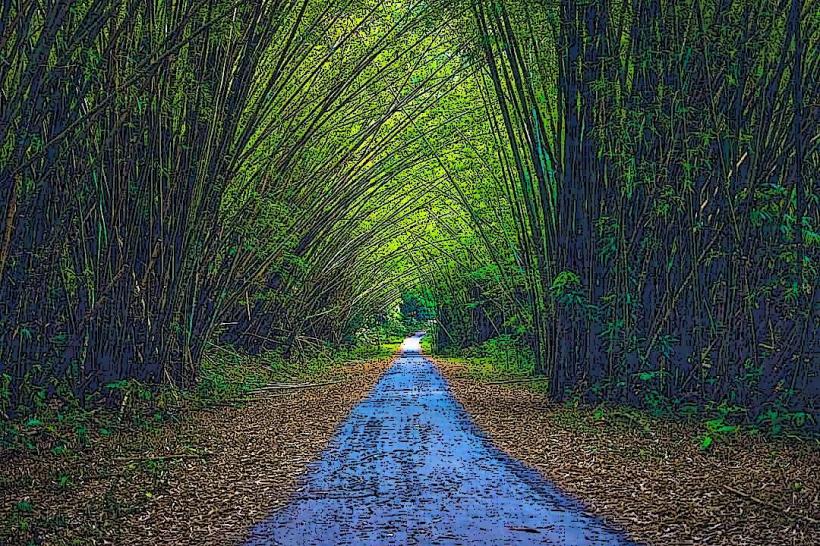
Activities at Macqueripe Bay include swimming in the calm waters, sunbathing on the sand, and picnicking. The bay is also a popular spot for cliff diving from designated platforms on the western headland. Hiking trails are present in the surrounding hills, offering views of the bay.
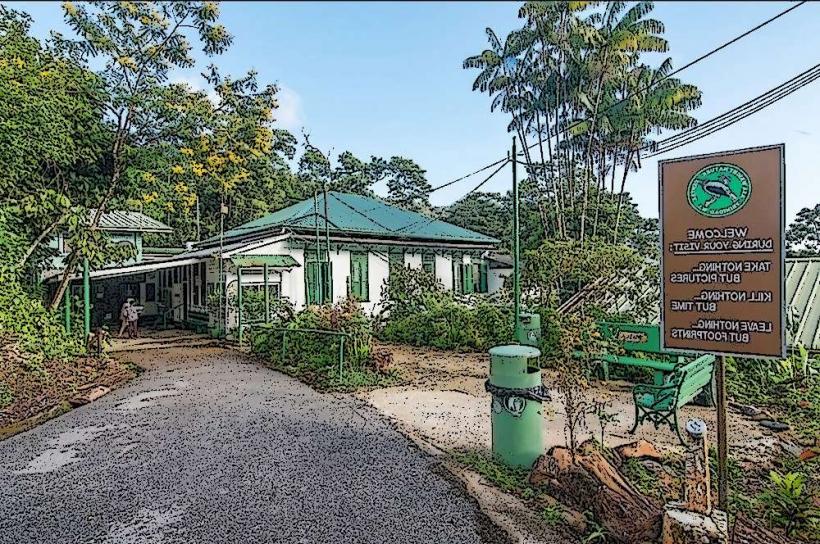
Infrastructure & Amenities
Basic amenities include public restrooms located near the parking area. Shade is provided by natural tree cover along the edge of the beach. Cell phone signal (4G) is generally available. There are no permanent food vendors directly at the bay, but local vendors often operate from vehicles during peak times.
Best Time to Visit
The best time of day for photography is generally in the late afternoon when the sun is lower, providing softer light. The dry season, from January to May, offers the most pleasant weather with less rainfall. The bay's calm conditions are consistent throughout the year, with no specific tide requirements for general access.
Facts & Legends
A local legend suggests that the bay was once a favored spot for pirates to anchor their ships. A verified historical fact is that the bay was utilized as a strategic lookout point during the naval base era.
Nearby Landmarks
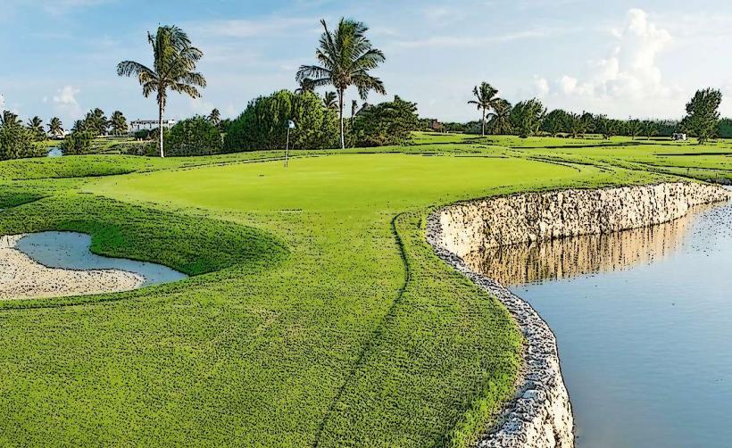
- Chaguaramas Golf Course (1.2km East)
- The National Museum and Art Gallery (15km East - Port of Spain)
- Fort George (13km East - Port of Spain)
- Maracas Bay (10km North-East)
- Tucker Valley Road (2km North)