Information
Landmark: Map of Africa ViewpointCity: Knysna
Country: South Africa
Continent: Africa
Map of Africa Viewpoint, Knysna, South Africa, Africa
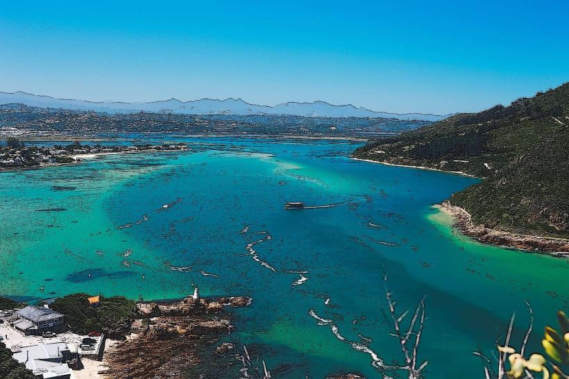
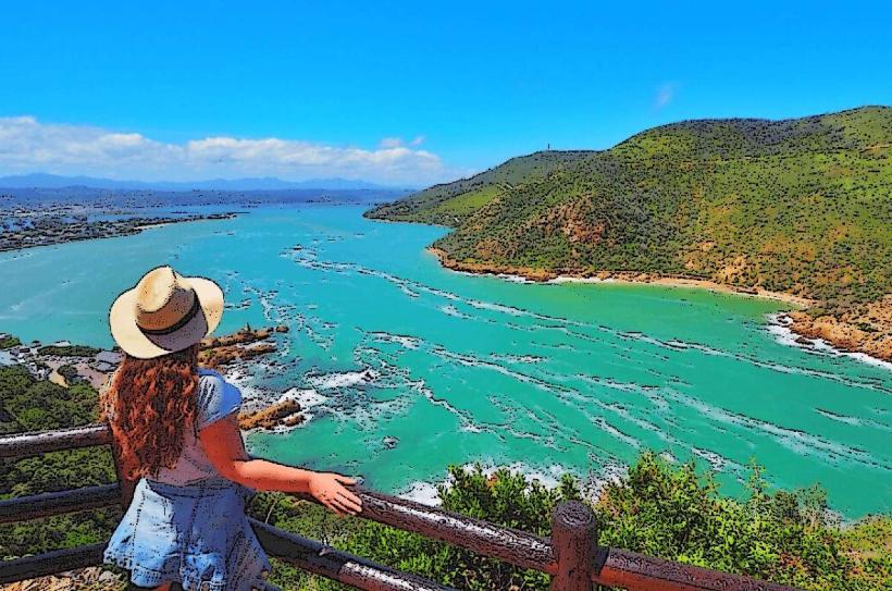
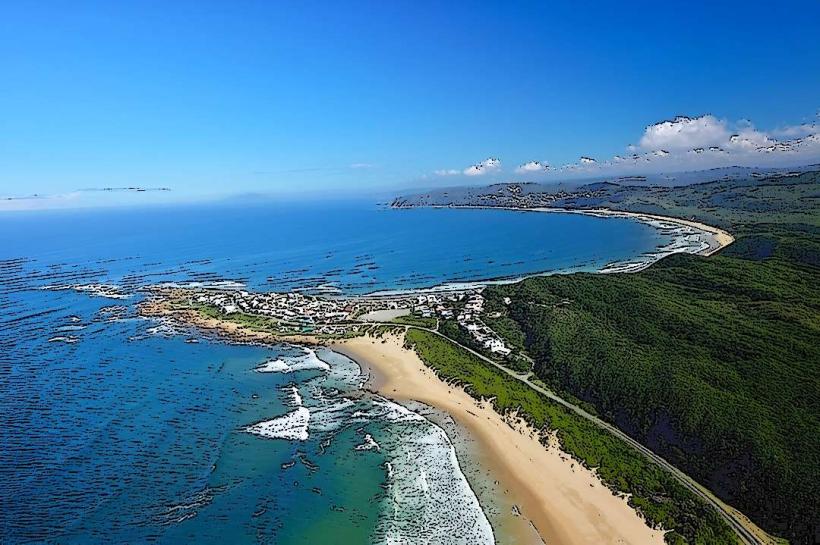
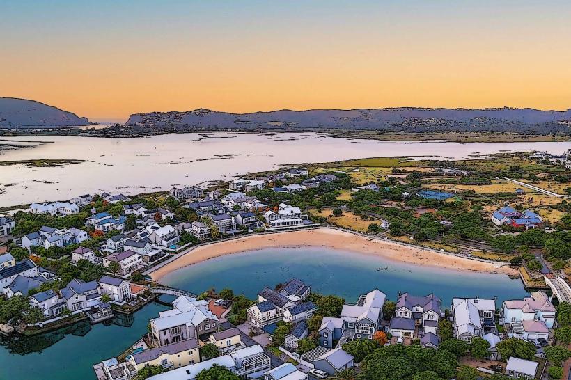
Map of Africa Viewpoint is a geological formation located in Knysna, Western Cape, South Africa. It offers a panoramic perspective of the surrounding landscape.
Visual Characteristics
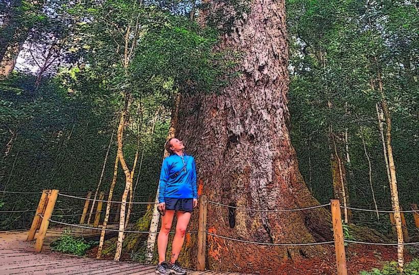
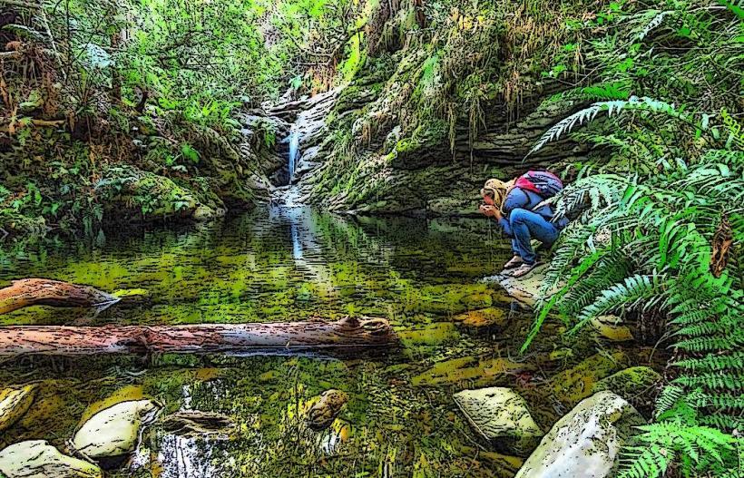
The viewpoint is an elevated rock outcrop. The surrounding vegetation consists of indigenous fynbos and coastal bush. The Knysna River estuary and the Indian Ocean are visible from this elevation.
Location & Access Logistics
The viewpoint is situated approximately 7 kilometers west of Knysna's central business district. Access is via the R339 (Phantom Pass Road). A gravel road, approximately 1 kilometer in length, branches off the R339 and leads directly to the viewpoint. Parking is available in a designated gravel lot at the site. No public transport services operate directly to this location.
Historical & Ecological Origin
The rock formations at Map of Africa Viewpoint are part of the Table Mountain Group, primarily composed of sandstone. These formations were laid down during the Cape Supergroup era, approximately 500 million years ago. The landscape has been shaped by erosion over millennia.
Key Highlights & Activities
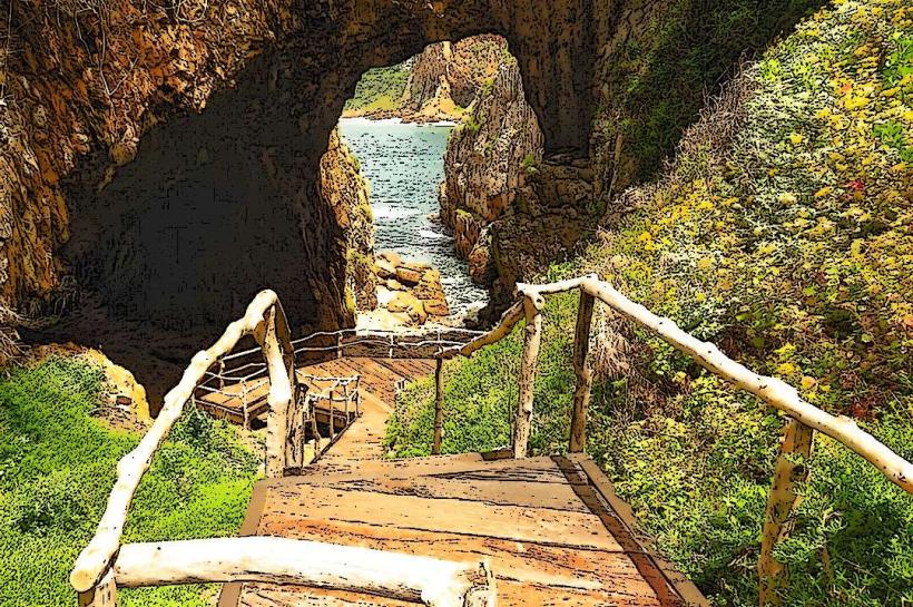
Observation of the confluence of the Knysna River and the Indian Ocean. Photography of the estuarine system and the Outeniqua Mountains. Short walks on marked paths around the immediate vicinity of the viewpoint.
Infrastructure & Amenities
A small, paved viewing platform is present. Limited shade is provided by indigenous trees. Restroom facilities are not available at the viewpoint. Cell phone signal (4G) is generally available. No food vendors are located at the site.
Best Time to Visit
For optimal lighting conditions for photography, visit during the early morning (08:00-10:00) or late afternoon (15:00-17:00). Weather is generally stable year-round, but clear skies are most common during the autumn and winter months (April to September).
Facts & Legends
The viewpoint's name originates from the distinctive shape of the Knysna River estuary as seen from above, which resembles the continent of Africa. Local lore suggests that ancient Khoisan people used this vantage point for astronomical observations.
Nearby Landmarks
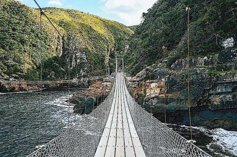
- Knysna Heads (2.5km East)
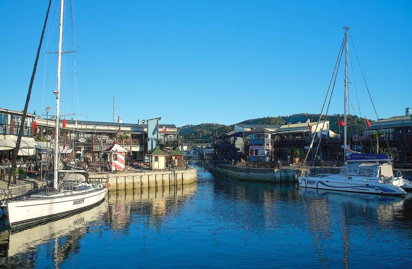
- Knysna Waterfront (6.0km East)
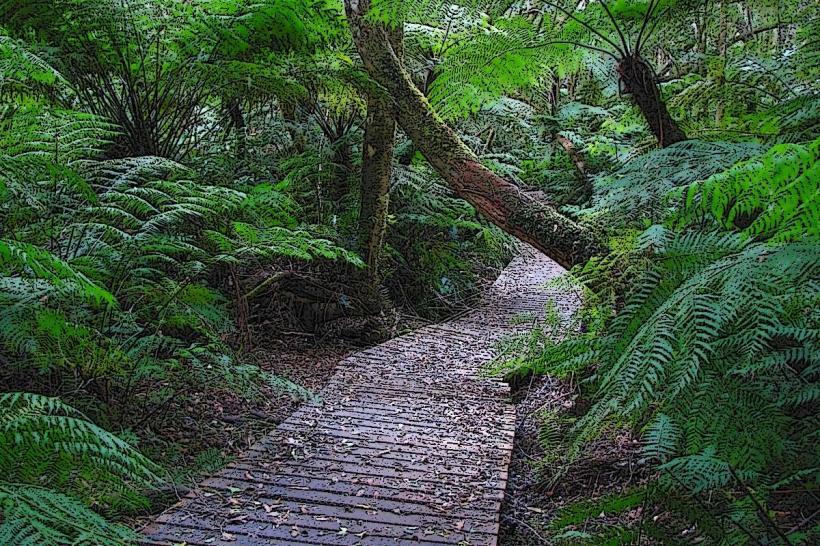
- Garden of Eden (10.0km West)
- Pledge Nature Reserve (5.5km East)