Information
Landmark: Masoala National ParkCity: Vohemar
Country: Madagascar
Continent: Africa
Masoala National Park, Vohemar, Madagascar, Africa
Masoala National Park is a large protected area encompassing rainforest, coastal forest, and marine ecosystems on the Masoala Peninsula in northeastern Madagascar. It is situated within the broader regional context of the Sava Region, which includes the city of Vohemar.
Visual Characteristics
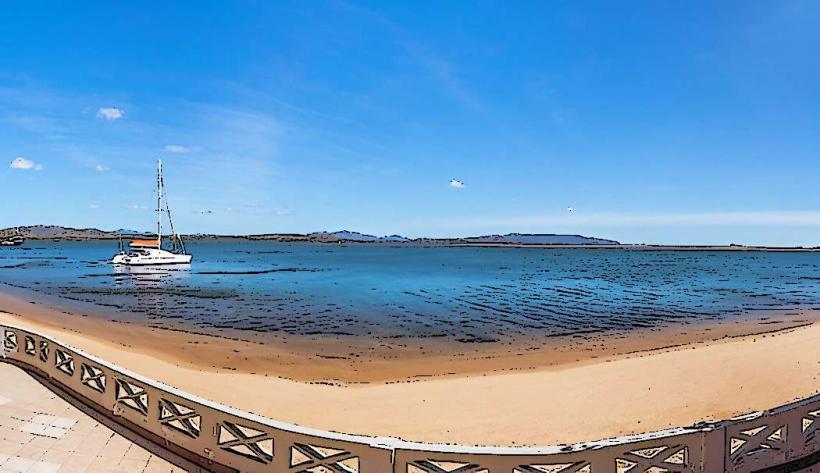
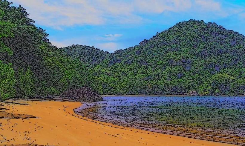
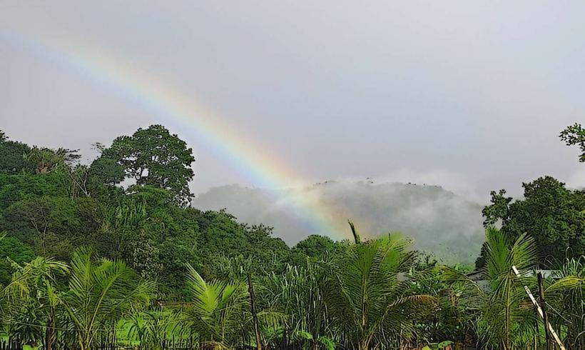
The park is characterized by dense primary tropical rainforest covering steep hillsides, extending to the coastline. Vegetation includes tall canopy trees, epiphytes, and a diverse understory. Coastal areas feature mangroves, coral reefs, and sandy beaches. The marine sections exhibit clear turquoise waters over vibrant coral formations. The landscape is predominantly green, with the deep blue of the ocean contrasting with the varied greens of the forest.
Location & Access Logistics
Access to Masoala National Park is primarily via boat from Maroantsetra, which is reached by domestic flights from Antananarivo or Toamasina. Alternatively, some northern sections of the park can be accessed by road from Antalaha, though boat transfers are often required for deeper exploration. Vohemar, located approximately 200 km north of the Masoala Peninsula, is not a direct access point for the park; travel from Vohemar would involve significant road journeys south to Antalaha or Maroantsetra, followed by boat. Parking facilities are available in Maroantsetra or Antalaha for those arriving by road, but not at the park's remote entry points. Public transport within the park is limited to boat transfers between coastal villages and park sections.
Historical & Ecological Origin
Masoala National Park was established in 1997 to protect Madagascar's unique biodiversity. It is the largest protected area on the island, covering 2,300 square kilometers of land and 100 square kilometers of marine parks. The park is classified as a tropical rainforest and marine protected area, forming part of the Rainforests of the Atsinanana UNESCO World Heritage Site. Its ecological origin is rooted in the ancient geological separation of Madagascar, leading to the evolution of a high degree of endemism.
Key Highlights & Activities
Visitors can engage in guided forest hikes to observe lemurs, chameleons, and various bird species. Snorkeling and diving are possible in the marine parks of Tampolo, Ambodiforaha, and Nosy Mangabe, offering views of coral reefs and marine life. Kayaking along the coast is also available. From July to September, humpback whale watching tours are a prominent activity in Antongil Bay. Specific trails lead to waterfalls and through primary forest sections.
Infrastructure & Amenities
Basic restroom facilities are available at designated park camps and some local lodges. Shade is abundant within the rainforest sections. Cell phone signal (4G/5G) is generally limited or non-existent within the park's interior and remote coastal areas, with sporadic 2G/3G coverage near larger villages. Food vendors are not present within the park; provisions are typically supplied by tour operators or local guesthouses, or brought by visitors.
Best Time to Visit
The dry season, from April to May and September to December, offers the most favorable conditions for hiking and general exploration, with less rainfall and more accessible trails. For whale watching, the period between July and September is optimal when humpback whales migrate to Antongil Bay. Early mornings and late afternoons provide the best natural light for photography within the forest and along the coast.
Facts & Legends
Masoala National Park boasts the highest biodiversity of any protected area in Madagascar, including 10 species of lemurs, such as the rare Red-ruffed Lemur. The park's marine section, Nosy Mangabe Special Reserve, is a key habitat for the nocturnal Aye-aye. A practical tip for visitors is that park permits are mandatory and must be arranged in advance through local guides or the park office in Maroantsetra.
Nearby Landmarks
- Nosy Mangabe Special Reserve: 5km West (island within the park)
- Antongil Bay: 0km West (adjacent to the park's western boundary)
- Tampolo Research Station: 0.5km North (a key park entry point and research facility)
- Ambodiforaha: 10km South (a coastal village and park access point)
- Cap Est: 25km East (the easternmost point of the Masoala Peninsula, within the park)