Information
Landmark: Nosy Mangabe ReserveCity: Vohemar
Country: Madagascar
Continent: Africa
Nosy Mangabe Reserve, Vohemar, Madagascar, Africa
Nosy Mangabe Reserve is a protected island located in Antongil Bay, off the northeastern coast of Madagascar. It functions as a dedicated wildlife reserve, primarily for the conservation of the Aye-aye lemur and other endemic species.
Visual Characteristics
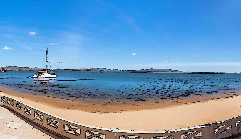
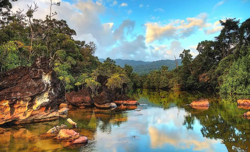
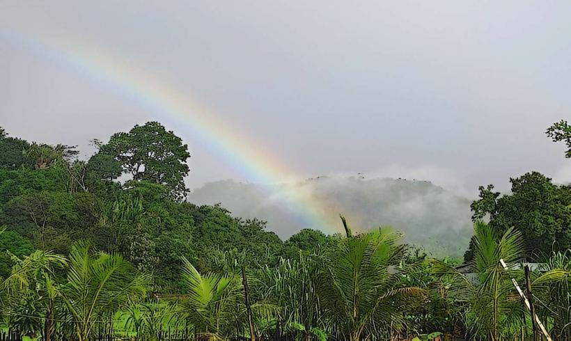
The island is characterized by dense, humid rainforest covering its granitic hills, which rise steeply from the coastline. Numerous small, sandy beaches and rocky coves punctuate the shoreline. Freshwater streams cascade down to the sea. The surrounding bay waters are typically clear, exhibiting shades of green and blue.
Location & Access Logistics
Nosy Mangabe is an island reserve situated within Antongil Bay. Direct access from Vohemar is not standard; Vohemar is located approximately 300km north of Antongil Bay. The primary access point is by boat from Maroantsetra, a town located on the mainland coast of Antongil Bay, approximately 50km south of the reserve. Boat transfers from Maroantsetra to Nosy Mangabe typically take 30 to 60 minutes, depending on sea conditions and boat type. There are no roads or public transport on the island itself; all movement is via designated hiking trails. No parking facilities exist on the island.
Historical & Ecological Origin
Nosy Mangabe was established as a special reserve in 1965, primarily to protect the Aye-aye, a nocturnal lemur species, which was translocated here from the mainland. Geologically, it is a granitic island, part of the ancient Precambrian basement rock of Madagascar. Ecologically, it is classified as a humid forest ecosystem, supporting a high degree of biodiversity and endemism, typical of Madagascar's eastern rainforests.
Key Highlights & Activities
Nocturnal Aye-aye spotting tours are a primary activity, requiring a guide. Daytime lemur observation includes species such as Black-and-white Ruffed Lemurs and White-fronted Brown Lemurs. Several marked hiking trails traverse the island, leading to viewpoints, waterfalls, and historical sites. Snorkeling is possible in the calm bay waters, particularly around the sandy beaches. Visitors can also explore the island's beaches and coves.
Infrastructure & Amenities
Basic infrastructure is present, including a ranger station and designated camping areas with rudimentary facilities. There are composting toilets available at the main camp. Shade is provided by the dense forest canopy. Cell phone signal (4G) can be intermittent and unreliable. There are no permanent food vendors on the island; visitors must bring their own provisions. Drinking water sources are available but should be treated.
Best Time to Visit
The dry season, from April to November, offers the most favorable weather conditions with less rainfall and lower humidity. For photography, early morning and late afternoon provide softer light for forest interiors and coastal views. Nocturnal visits are essential for observing the Aye-aye, typically starting after dusk.
Facts & Legends
Nosy Mangabe is considered a sacred island by local communities, with ancestral burial sites present. It is believed that the spirits of the ancestors protect the island's unique wildlife. A specific local belief suggests that disturbing certain areas can lead to misfortune. The island also contains 17th-century rock carvings left by Dutch sailors, depicting ships and dates.
Nearby Landmarks
- Maroantsetra: 50km South (mainland access town)
- Masoala National Park: 10km East (across Antongil Bay)
- Cap Est: 25km Northeast (easternmost point of Madagascar)
- Ankavanana River Mouth: 15km West (mainland river delta)