Information
Landmark: Mataniko FallsCity: Honiara
Country: Solomon Islands
Continent: Australia
Mataniko Falls, Honiara, Solomon Islands, Australia
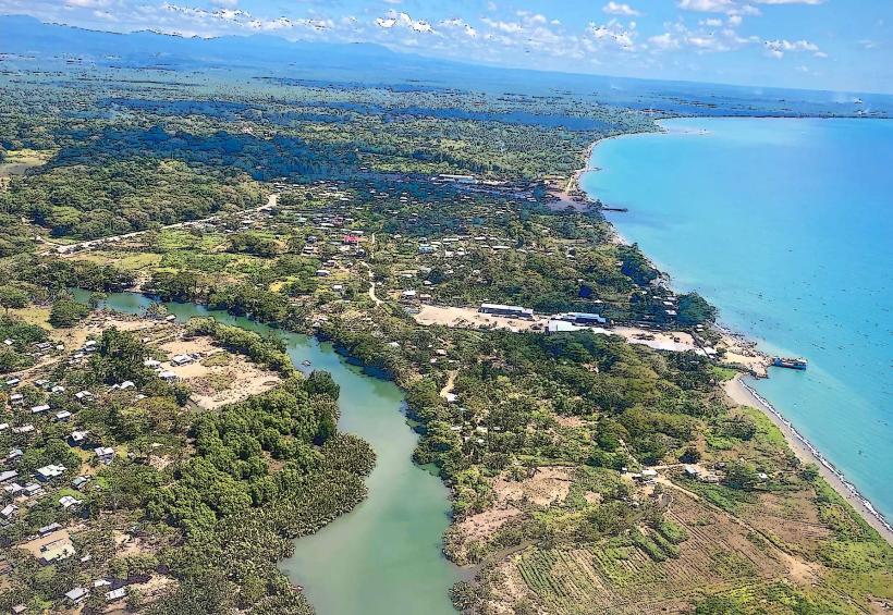
Mataniko Falls is a waterfall located approximately 5 kilometers inland from Honiara, the capital city of the Solomon Islands.
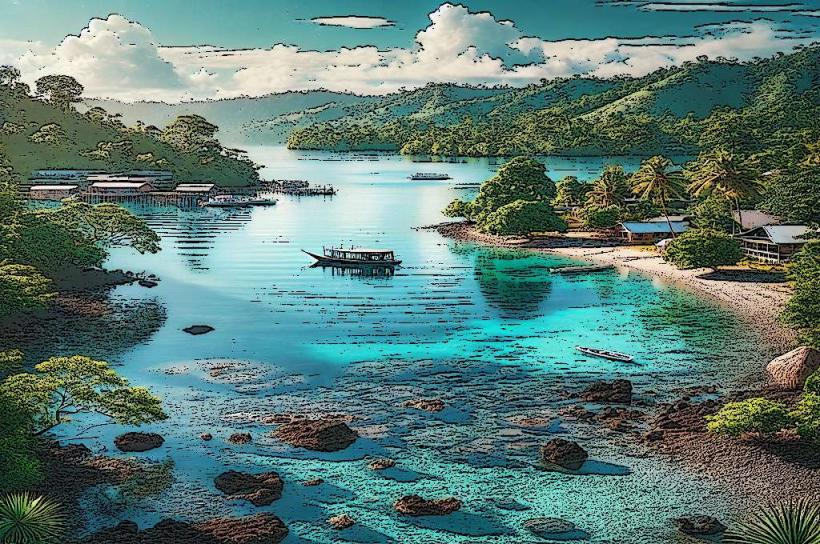
The falls descend over a series of dark, volcanic rock formations, creating multiple cascades. The water is typically clear, and the surrounding vegetation is dense tropical rainforest.
Location & Access Logistics
Access to Mataniko Falls requires travel from Honiara. From the city center, proceed inland via the Kukum Highway, turning onto the Mataniko Road. The road is unpaved and can be rough, particularly after rain, requiring a 4WD vehicle. The drive is approximately 5 kilometers. Parking is available at the trailhead, which is a cleared area. Public transport does not directly service the falls; a taxi or private vehicle is necessary.
Historical & Ecological Origin
Mataniko Falls is a natural geological formation, carved by the Mataniko River over millennia. The river flows through volcanic rock, characteristic of the Guadalcanal landscape. The surrounding rainforest is an example of lowland tropical rainforest ecosystems found in the Solomon Islands.
Key Highlights & Activities
The primary activity is viewing the waterfall. Hiking to the base of the falls is possible, though the trail can be steep and slippery. Swimming is not recommended due to strong currents and submerged rocks. Observation points are available at various levels along the trail.
Infrastructure & Amenities
There are no formal facilities at Mataniko Falls. Restrooms, shade structures, and food vendors are absent. Cell phone signal is unreliable in the immediate vicinity of the falls due to the dense canopy and terrain.
Best Time to Visit
The best time of day for photography is mid-morning when sunlight penetrates the canopy, illuminating the water. The best months for visiting are during the dry season, generally from May to October, to minimize the impact of rain on the access road and trails. High water flow occurs during the wet season (November to April).
Facts & Legends
Local folklore suggests that the pools at the base of the falls are inhabited by water spirits. It is advised to approach the area with respect. A specific tip for visitors is to wear sturdy, non-slip footwear due to the often wet and uneven terrain.
Nearby Landmarks
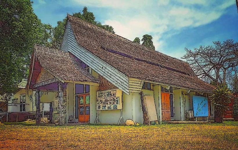
- National Museum of the Solomon Islands (4.5km Southwest)
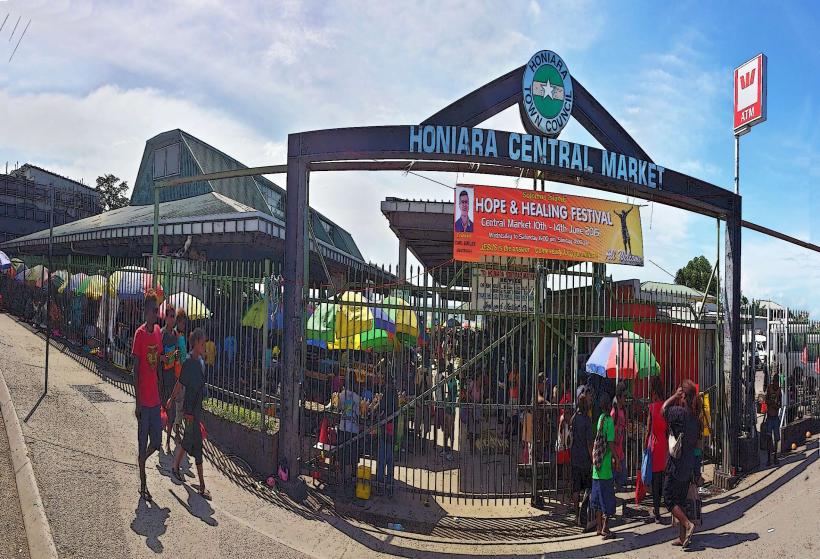
- Honiara Central Market (4.8km Southwest)
- Botanical Gardens (4.2km Southwest)
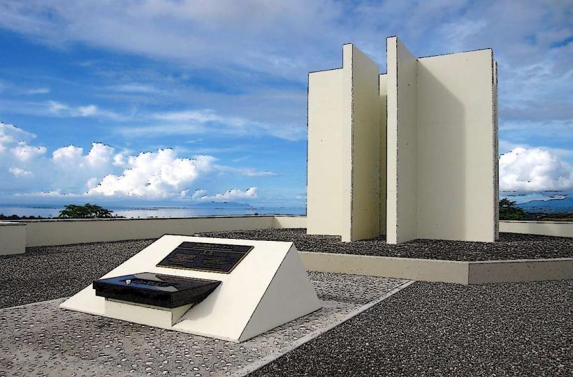
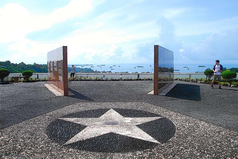
- War Memorial Cemetery (5.0km Southwest)