Information
Landmark: Tinakula VolcanoCity: Honiara
Country: Solomon Islands
Continent: Australia
Tinakula Volcano, Honiara, Solomon Islands, Australia
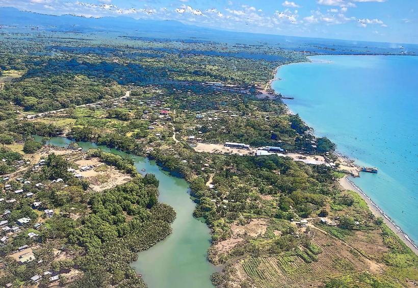
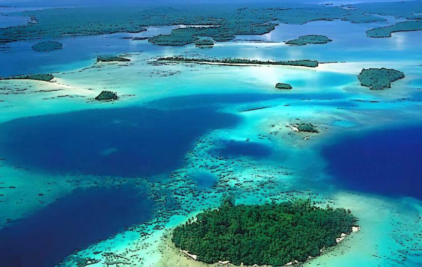
Tinakula Volcano is an active stratovolcano located in the Solomon Islands archipelago. It is situated in the Santa Cruz Islands group, approximately 100 kilometers northeast of Nendo Island.
Visual Characteristics
The volcano is a conical island rising approximately 850 meters above sea level. Its slopes are steep and covered in dense tropical vegetation, with evidence of recent lava flows visible on its western flank. The summit crater is a prominent feature, often emitting steam and ash.
Location & Access Logistics
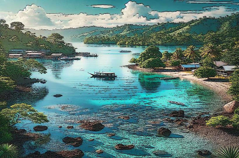
Tinakula Volcano is an uninhabited island. Access is primarily by boat from nearby inhabited islands such as Nendo. There are no established landing sites or regular transport services. Travel requires chartering a vessel, and approach is subject to volcanic activity and sea conditions. The nearest significant settlement is Lata on Nendo Island, approximately 100 kilometers to the southwest.
Historical & Ecological Origin
Tinakula is a Holocene volcano, part of the Pacific Ring of Fire. Its formation is attributed to subduction of the Pacific Plate beneath the Solomon Sea Plate. The volcano is geologically active, with documented eruptions occurring periodically throughout recorded history.
Key Highlights & Activities
Observation of volcanic activity from a safe distance by boat is the primary activity. Due to the active nature and steep terrain, landing on the island is generally not feasible or recommended. Scientific observation and geological surveys are conducted by specialized teams.
Infrastructure & Amenities
There is no infrastructure or amenities on Tinakula Volcano. The island is uninhabited and undeveloped. Cell phone signal is not available.
Best Time to Visit
The best time for observation is during daylight hours when visibility is optimal. Volcanic activity can occur at any time, so monitoring current conditions is essential. Weather in the Solomon Islands is generally tropical, with a wet season from November to April and a dry season from May to October.
Facts & Legends
Local oral traditions sometimes refer to the volcano's activity as a sign or omen, though specific detailed legends are not widely documented. Its remote location and consistent volcanic activity make it a subject of ongoing geological study.
Nearby Landmarks
- Nendo Island (Santa Cruz Islands) - 100km Southwest
- Utupua Island - 70km West
- Vanikoro Island - 120km Southwest