Information
Landmark: Mediterranean Beaches of BéjaïaCity: Bejaia
Country: Algeria
Continent: Africa
Mediterranean Beaches of Béjaïa, Bejaia, Algeria, Africa
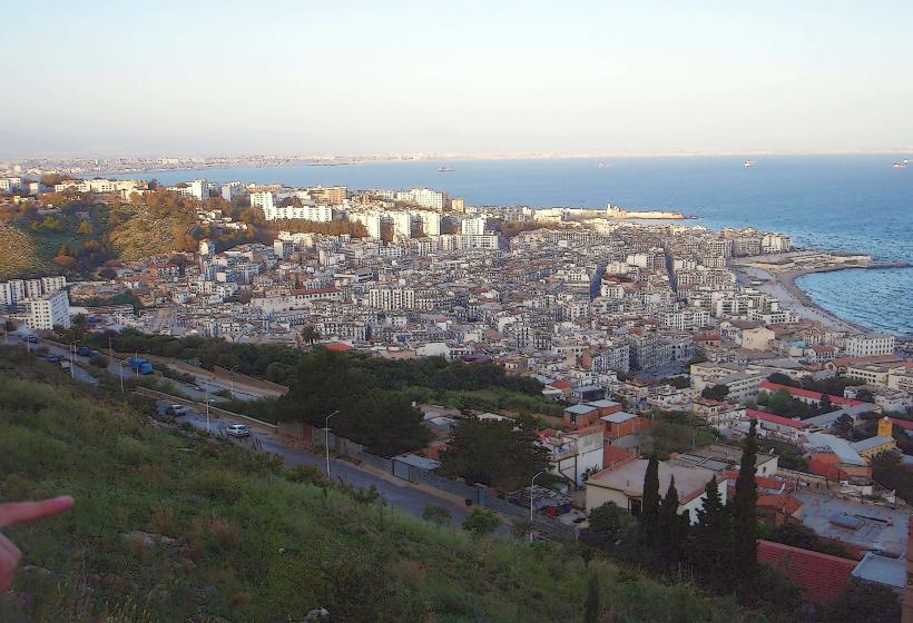
The Mediterranean Beaches of Béjaïa are a series of coastal areas situated along the northern coastline of Algeria, within the administrative boundaries of the city of Béjaïa.
Visual Characteristics
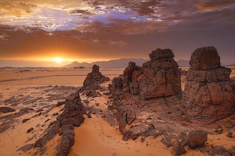
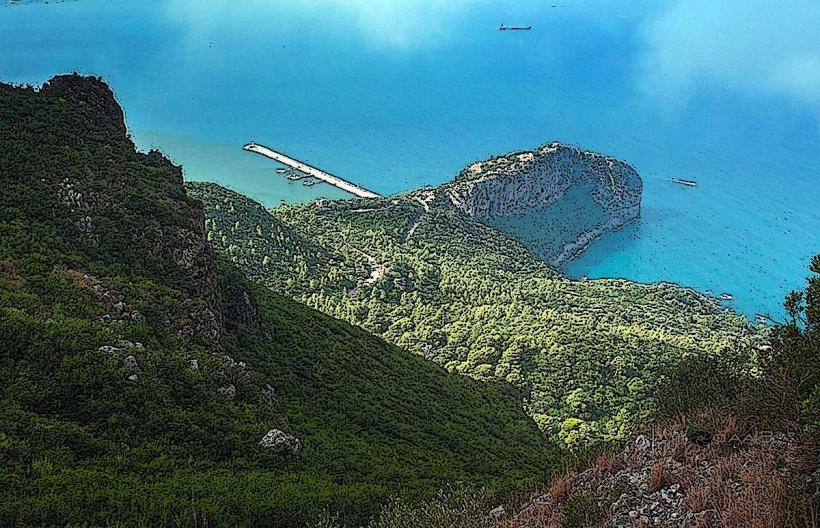
These beaches feature fine to medium-grained sand, varying in color from pale yellow to light brown. The water clarity is generally good, with shades of turquoise and deep blue depending on depth and sunlight. Coastal vegetation, primarily Mediterranean scrub and grasses, borders some sections. Rock formations, including limestone outcrops, are present at the western and eastern extremities of the city's coastline.
Location & Access Logistics
The beaches are directly accessible from Béjaïa city. The main coastal road, RN 12, runs parallel to the shoreline, providing vehicular access. Parking is available along designated roadside areas and in specific parking lots near popular beach sections, particularly during peak season. Public transport within Béjaïa includes local bus routes that serve areas adjacent to the beaches. For visitors arriving from other cities, Béjaïa is connected by the A1 motorway and has an airport (Soummam Airport - BJA) located approximately 10km southwest of the city center.
Historical & Ecological Origin
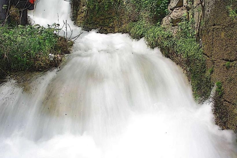
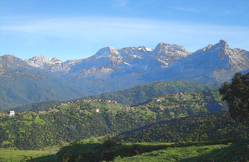
The formation of these beaches is a result of ongoing coastal erosion and sediment deposition processes influenced by Mediterranean currents and riverine input. Ecologically, they are part of the Mediterranean coastal ecosystem, supporting various marine and terrestrial plant and animal species adapted to saline environments.
Key Highlights & Activities
Activities include swimming, sunbathing, and beachcombing. Certain areas are suitable for picnicking. Fishing from the shore is practiced by locals. Kayaking and paddleboarding are possible in calm sea conditions.
Infrastructure & Amenities
Restroom facilities are available at some developed beach access points, particularly in the summer months. Shade is limited, primarily provided by natural vegetation or personal umbrellas. Cell phone signal (4G) is generally available along the coast. Food vendors and small cafes are located near the more frequented beach areas, especially in the city center and along the Corniche.
Best Time to Visit
The optimal period for visiting is from May to September, with July and August being the warmest months. Mid-morning to late afternoon offers the best sunlight for beach activities. High tide can reduce the available sandy area on some beaches.
Facts & Legends
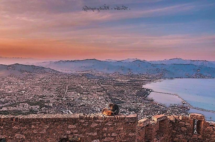
A notable geological feature is the "Pic des Singes" (Monkey Mountain) which overlooks the western end of the city's coastline, offering panoramic views. Local folklore sometimes associates the sea caves found along the rocky sections with ancient mariners' tales.
Nearby Landmarks
- 0.8km West: Kasbah of Béjaïa
- 1.2km West: Port of Béjaïa
- 2.5km Southwest: Soummam River Delta
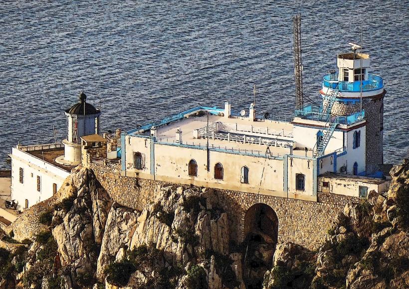
- 4.0km East: Cap Carbon Lighthouse