Information
Landmark: Yemma GourayaCity: Bejaia
Country: Algeria
Continent: Africa
Yemma Gouraya, Bejaia, Algeria, Africa
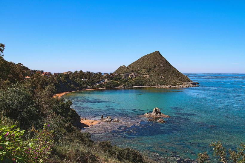
Yemma Gouraya is a prominent mountain peak located within the city limits of Bejaia, Algeria.
This geological formation serves as a significant natural landmark overlooking the Mediterranean coast.
Visual Characteristics
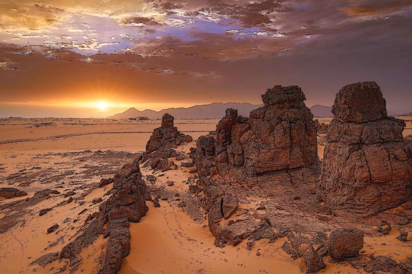
The mountain is composed primarily of limestone rock, exhibiting a rugged, greyish-brown surface. Its slopes are characterized by sparse vegetation, predominantly Mediterranean scrub and hardy grasses. The peak reaches an elevation of approximately 665 meters (2,182 feet) above sea level. The western face of the mountain is steeper and more exposed to the sea.
Location & Access Logistics
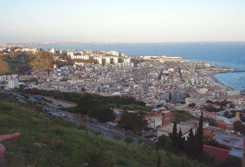
Yemma Gouraya is situated directly north of Bejaia's city center. Access is primarily via the N12 national road, turning onto local routes leading towards the mountain's base. A paved road, Route de Yemma Gouraya, ascends partway up the mountain, terminating at a parking area. From this point, hiking trails are the sole means of reaching the summit. Public transport does not directly service the mountain; buses and taxis can transport individuals to the base of the access road.
Historical & Ecological Origin
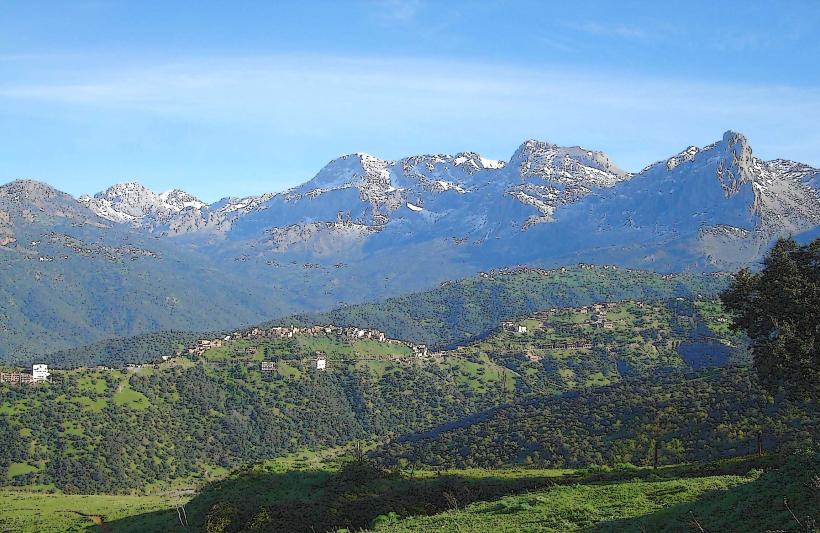
Yemma Gouraya is a natural geological formation, part of the larger Djurdjura mountain range. Its current form is the result of millions of years of erosion and tectonic activity. Ecologically, it represents a Mediterranean mountain ecosystem adapted to arid conditions.
Key Highlights & Activities
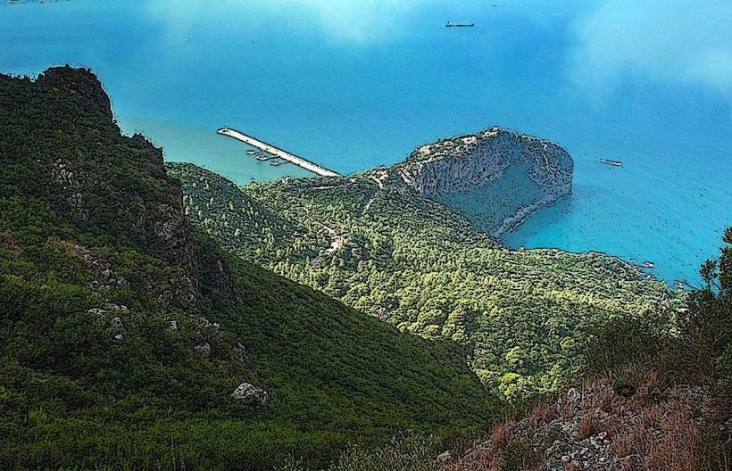
Hiking to the summit is the primary activity. Several marked trails exist, with the most direct route originating from the Route de Yemma Gouraya parking area. Observation points along the trails offer panoramic views of Bejaia, the Gulf of Bejaia, and the surrounding coastline. The summit itself provides a vantage point for observing migratory birds during specific seasons.
Infrastructure & Amenities
Limited infrastructure exists at the base of the mountain. The parking area at the end of Route de Yemma Gouraya has no formal facilities. Restrooms are not available on the mountain itself. Cell phone signal (4G/5G) is generally available at lower elevations and the parking area but can be intermittent on higher trails. No food vendors are present on the mountain; provisions should be carried by visitors.
Best Time to Visit
The best time for hiking is during the spring (March to May) and autumn (September to November) when temperatures are moderate. Mid-morning offers good lighting for photography of the coastline. Summer months (June to August) can be excessively hot for strenuous activity. Winter can bring rain and cooler temperatures.
Facts & Legends
Local legend associates the mountain with a saintly figure, Yemma Gouraya, whose tomb is said to be located on the summit. This has made the mountain a site of pilgrimage for some.
Nearby Landmarks
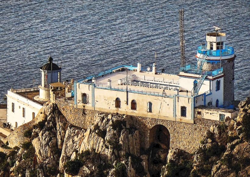
- Cap Carbon Lighthouse (1.5km Southwest)
- Port of Bejaia (2.0km South)
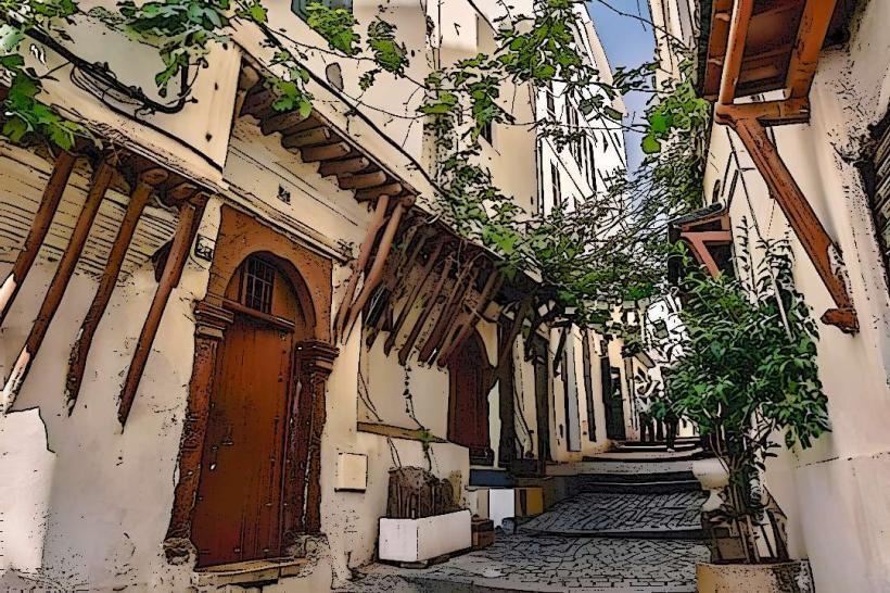
- Casbah of Bejaia (2.5km South)
- Plage de Aokas (8.0km East)