Information
Landmark: Morava MountainCity: Korce
Country: Albania
Continent: Europe
Morava Mountain, Korce, Albania, Europe
Morava Mountain is a limestone mountain range situated directly east of the city of Korçë in southeastern Albania. It forms a natural border for the Korçë plateau, with its highest peak, Maja e Çardakut, reaching an elevation of 1,806 meters.
Visual Characteristics
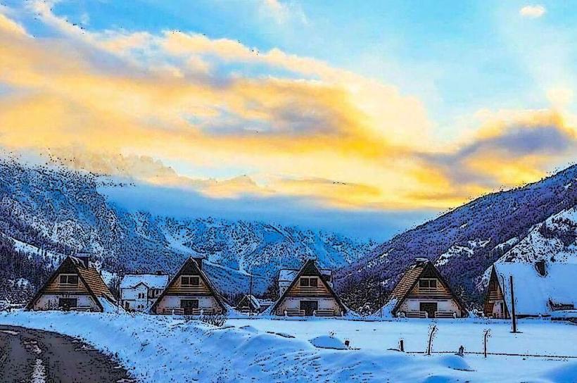
The mountain features steep western slopes characterized by grey limestone outcrops and dense forests of beech and pine. The ridge line is predominantly rocky with sparse alpine vegetation at higher altitudes. During winter months, the range maintains a continuous snow cover, while summer reveals a contrast between the dark green coniferous belts and the white-grey karst rock formations.
Location & Access Logistics
The base of the mountain is 2 km east of Korçë city center. Primary access is via the SH75 road leading toward the village of Mborje. A paved serpentine road leads from the city to the Church of St. Elijah (Shën Ilia) located on a lower ridge. Hiking trails begin at the Mborje trailhead. Public transport is limited to taxis or local buses to Mborje; private vehicles can park at the designated lots near the Shën Ilia viewpoint.
Historical & Ecological Origin
Morava is a tectonic-karst formation part of the southern branch of the Albanian Alps. Historically, it served as a strategic defensive position and a source of timber and water for the city. It is ecologically classified as a protected landscape, harboring diverse flora including endemic Balkan species and fauna such as brown bears and wolves in the more remote eastern sections.
Key Highlights & Activities
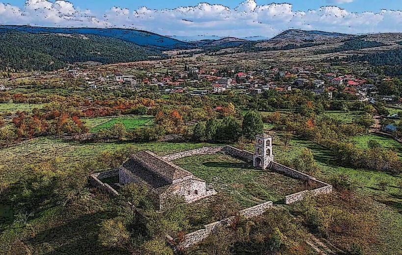
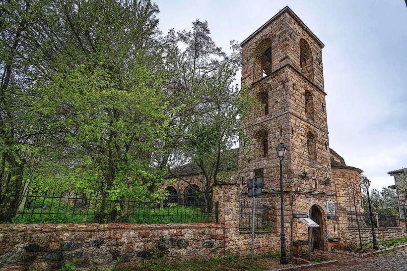
Hiking is the primary activity, with marked trails leading to the Cross of Korçë and various peaks. Mountain biking is possible on the gravel fire roads. Paragliding pilots use the western ridges as launch sites. The Church of St. Mary in Mborje, located at the foot of the mountain, offers access to 14th-century Byzantine frescoes.
Infrastructure & Amenities
Infrastructure is concentrated around the Shën Ilia area, which includes a restaurant, a church, and a large illuminated cross. Restrooms are available within the restaurant facilities. Shaded areas are abundant in the forested sections but non-existent on the rocky peaks. 4G and 5G cellular signals are generally strong on the slopes facing Korçë but drop significantly on the eastern leeward side.
Best Time to Visit
The best months for hiking are May through October. For photography of the Korçë plateau, the late afternoon provides optimal backlighting of the city. Winter visits require 4x4 vehicles and snow gear. High-visibility conditions are most frequent in the early morning before summer haze develops over the valley.
Facts & Legends
A local landmark on the mountain is the "Giant Cross," which is illuminated at night and visible from almost every point in the city. Local lore suggests that the mountain’s numerous caves were used as shelters during various historical conflicts, and some residents still forage for "Morava Tea" (Sideritis raeseri), a medicinal herb that grows wild on the limestone slopes.
Nearby Landmarks
Church of St. Mary (Mborje) (1.5km West)
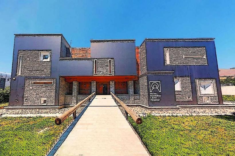
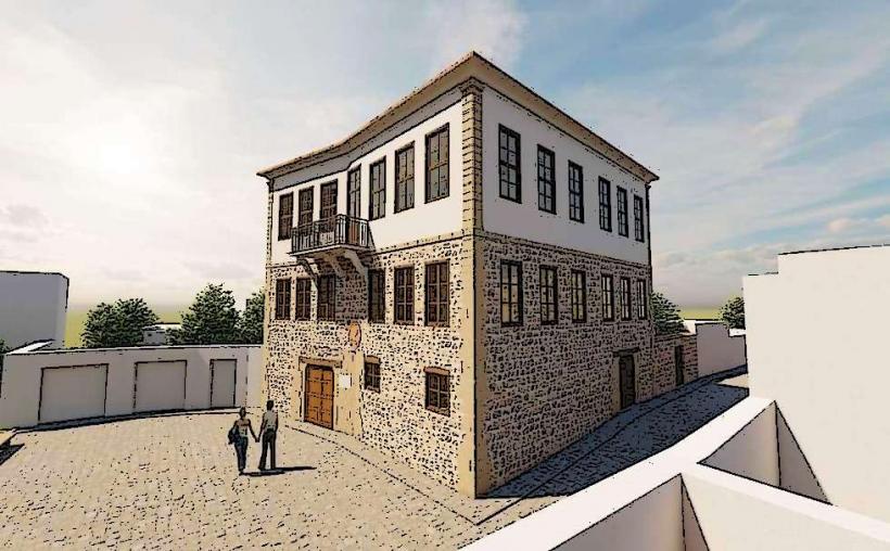
National Museum of Medieval Art (2.5km West)
Resurrection of Christ Cathedral (3.0km West)
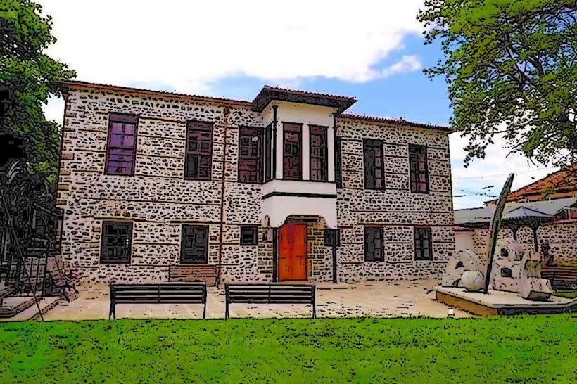
Bratko Museum of Oriental Art (2.8km West)
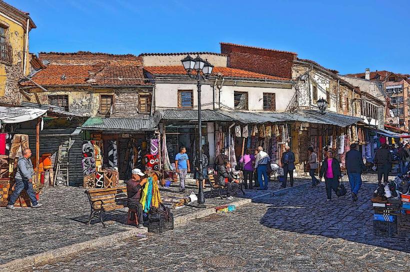
Old Bazaar of Korçë (3.5km West)