Information
Landmark: Morehead City WaterfrontCity: Morehead City
Country: USA North Carolina
Continent: North America
Morehead City Waterfront, Morehead City, USA North Carolina, North America
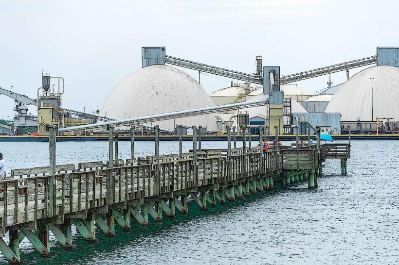
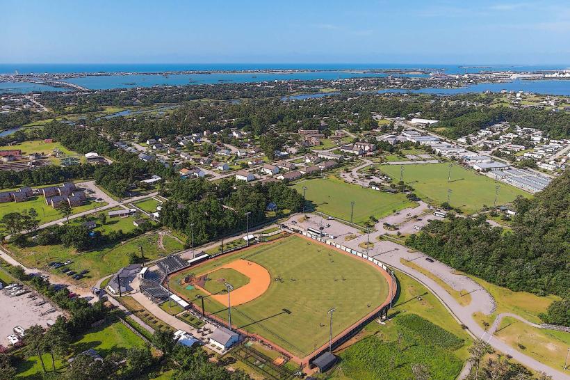
The Morehead City Waterfront is a developed harbor area situated in Morehead City, North Carolina, USA. It serves as a central point for maritime activity and public access to the Beaufort Channel.
Visual Characteristics
The waterfront features a series of piers and docks constructed from treated lumber and concrete. Buildings lining the waterfront are primarily commercial, constructed from brick and wood, with varying rooflines and colors. The water in the Beaufort Channel is typically a greenish-blue, influenced by sediment and salinity. Boat traffic, including commercial fishing vessels, recreational boats, and charter fishing boats, is a constant visual element.
Location & Access Logistics
The Morehead City Waterfront is located along the southern edge of downtown Morehead City, directly accessible from US Highway 70 (Arendell Street). It is approximately 1 mile from the central business district. Public parking is available in designated lots along the waterfront, with fees often applicable during peak seasons. Several bus routes operated by CARTS (Carteret Area Transportation System) serve the downtown area, with stops within walking distance of the waterfront.
Historical & Ecological Origin
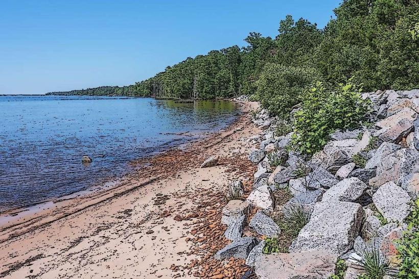
Morehead City was incorporated in 1866 and developed as a port and railroad terminus. The waterfront's current configuration evolved over decades to support commercial fishing, shipping, and recreational boating industries. Ecologically, the area is part of the estuarine system of the Crystal Coast, where freshwater from the Neuse River meets saltwater from the Atlantic Ocean, supporting diverse marine life.
Key Highlights & Activities
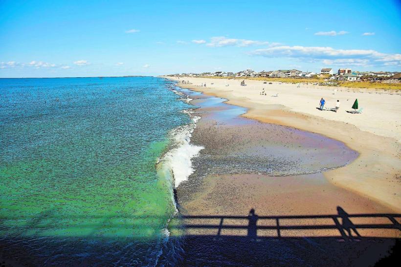
Activities include charter fishing excursions, boat tours of the Beaufort Channel and nearby islands, and dining at waterfront restaurants. Visitors can observe commercial fishing operations and the docking of various vessels. Walking along the boardwalk provides views of the harbor and the Intracoastal Waterway.
Infrastructure & Amenities
Restrooms are available at public access points and within some establishments. Shade is provided by awnings and building overhangs. Cell phone signal (4G/5G) is generally strong throughout the area. Numerous restaurants and seafood markets are located directly on or adjacent to the waterfront.
Best Time to Visit
For optimal lighting for photography, early morning or late afternoon offers softer light. The best months for pleasant weather are typically April through October. High tide can offer more water depth for larger vessels, but access for pedestrians is generally unaffected by tide levels.
Facts & Legends
Morehead City's waterfront was historically a major hub for the East Coast's commercial fishing fleet, particularly for shrimp and tuna. A local anecdote suggests that the "ghost ship" of the USS Ramage, a destroyer that once frequented the port, is sometimes sighted on foggy nights, though this is unsubstantiated.
Nearby Landmarks
- Beaufort Historic Site (1.5km East)
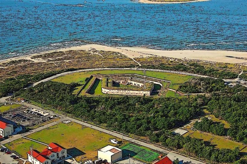
- Fort Macon State Park (6km East)
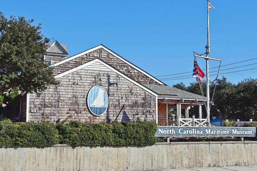
- North Carolina Maritime Museum (1.2km East)
- Shackleford Banks (accessible by ferry, 2km South)
- Cape Lookout National Seashore (accessible by ferry, 15km Southwest)