Information
Landmark: Mountain Pine Ridge Forest ReserveCity: Belmopan
Country: Belize
Continent: North America
Mountain Pine Ridge Forest Reserve, Belmopan, Belize, North America
Mountain Pine Ridge Forest Reserve is a protected area located in the Cayo District of Belize, west of Belmopan.
This reserve encompasses a significant portion of Belize's Maya Mountains and is characterized by its unique pine-forested plateau.
Visual Characteristics
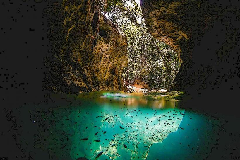
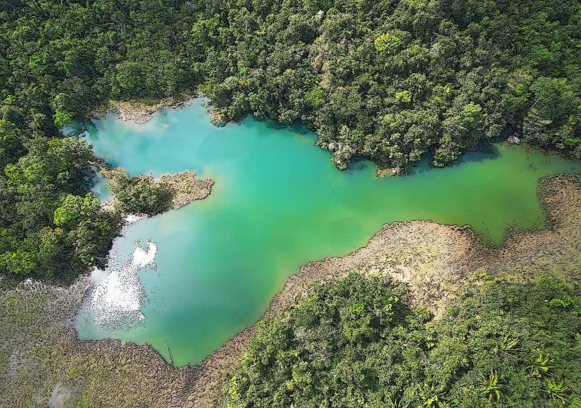
The reserve features rolling hills covered predominantly by Caribbean pine (Pinus caribaea). The undergrowth consists of various shrubs and grasses adapted to the acidic soil. Numerous limestone caves and sinkholes are present throughout the landscape. Water features include rivers and waterfalls, with water clarity varying based on rainfall. Rock formations are primarily limestone, with some granite outcrops.
Location & Access Logistics
The reserve is situated approximately 30 kilometers southwest of Belmopan. Access is via the Hummingbird Highway, turning onto the George Price Highway, and then onto the Mountain Pine Ridge Road (also known as the Cayo Road). This road is unpaved and can be rough, requiring a 4x4 vehicle, especially during the wet season. The drive from Belmopan takes approximately 1.5 to 2 hours. There is no public transport directly into the reserve; visitors typically arrange private transport or join organized tours. Parking is available at designated visitor areas and lodges within the reserve.
Historical & Ecological Origin
The Mountain Pine Ridge Forest Reserve was established in 1944 to protect the region's pine forests and watershed. Ecologically, it is classified as a subtropical pine forest ecosystem, a rare biome in Central America. The geology is primarily karst, formed from ancient limestone deposits, leading to the formation of caves and sinkholes. The pine species present are native to the region.
Key Highlights & Activities
Hiking is possible on marked trails such as the Rio Frio Cave trail and the Big Rock Falls trail. Swimming is permitted at Big Rock Falls and Thousand Foot Falls. Cave exploration is a primary activity, with Rio Frio Cave and Actun Tun (The Cave of the Crystal Maiden) being accessible. Birdwatching is also a significant activity due to the diverse avian population. Photography opportunities exist at various viewpoints and waterfalls.
Infrastructure & Amenities
Restrooms are available at some visitor points and lodges. Shade is provided by the pine canopy in many areas. Cell phone signal is intermittent and generally unreliable within the reserve. Limited food and drink options are available at lodges within the reserve; visitors are advised to bring their own supplies. There are no formal food vendors operating within the reserve itself.
Best Time to Visit
The dry season, from December to May, offers the most favorable conditions for access and outdoor activities. The wet season (June to November) can make the unpaved roads challenging. For photography, early morning and late afternoon provide optimal lighting conditions, particularly for waterfalls. High tide is not a relevant factor for this inland reserve.
Facts & Legends
The reserve is home to the largest known cave system in Belize, Actun Tun, which contains extensive crystal formations. Local folklore speaks of ancient Maya ceremonies held within the caves. A specific tip for visitors is to carry insect repellent, as mosquitoes can be present, especially near water sources and during dawn and dusk.
Nearby Landmarks
- 0.5km North: Rio Frio Cave
- 2.0km East: Big Rock Falls
- 3.5km Southeast: Thousand Foot Falls
- 4.0km West: Barton Creek Cave
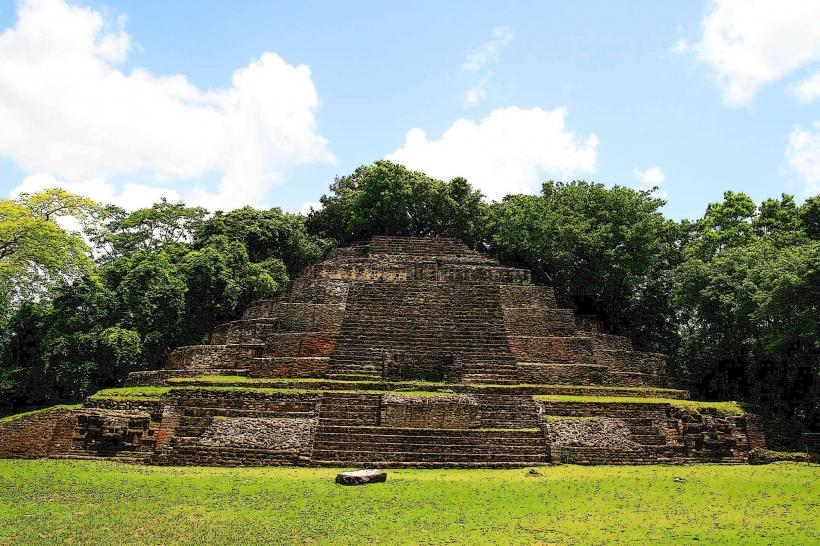
- 4.5km Northwest: Caracol Mayan Site (requires significant travel time outside the reserve)