Information
Landmark: Nashua Rail TrailCity: Nashua
Country: USA New Hampshire
Continent: North America
Nashua Rail Trail, Nashua, USA New Hampshire, North America
The Nashua Rail Trail is a paved multi-use path traversing the city of Nashua, New Hampshire.
It follows a former railway corridor, connecting various points within the urban and suburban landscape.
Visual Characteristics
The trail surface is primarily asphalt, measuring approximately 10 feet in width. It is bordered by a mix of urban infrastructure, residential areas, and sections of mixed deciduous and coniferous forest. Trail markers are present at regular intervals. The terrain is largely flat with gentle inclines in some sections.
Location & Access Logistics
The Nashua Rail Trail extends from the Massachusetts border near the town of Tyngsborough, MA, northward through Nashua, NH. The primary access point in Nashua is located off the Everett Turnpike (US-3) at Exit 7E, leading to Daniel Webster Highway. Parking is available at designated trailheads, including the lot at the intersection of Daniel Webster Highway and Railroad Square. Public transport options are limited; the closest bus stops for Nashua Transit System are several blocks from the main trail access points.
Historical & Ecological Origin
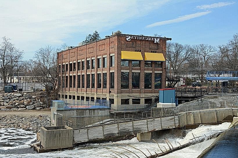
The trail is built on the former right-of-way of the Boston & Maine Railroad's Nashua & Acton Branch. The railroad line was operational for freight and passenger service for over a century before its abandonment. The conversion to a recreational trail began in the late 20th century, preserving the corridor for public use.
Key Highlights & Activities
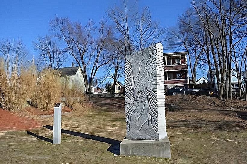
Activities include walking, running, cycling, and in-line skating. The trail provides access to several city parks and points of interest. Specific segments are suitable for birdwatching due to adjacent wooded areas.
Infrastructure & Amenities
Restrooms are available at designated parking areas and some park access points along the trail. Shade is provided by trees in wooded sections. Cell phone signal (4G/5G) is generally available along most of the trail. Food vendors are not directly on the trail but are located in commercial areas adjacent to access points.
Best Time to Visit
For optimal lighting for photography, early morning or late afternoon provides softer light. The months of May through October offer the most pleasant weather conditions for outdoor activities. The trail is accessible year-round, though winter conditions may affect surface usability.
Facts & Legends
A unique aspect of the trail's history is its role in transporting goods and people during Nashua's industrial peak. Local lore sometimes refers to the old railway tunnels that once existed, though these are no longer present.
Nearby Landmarks
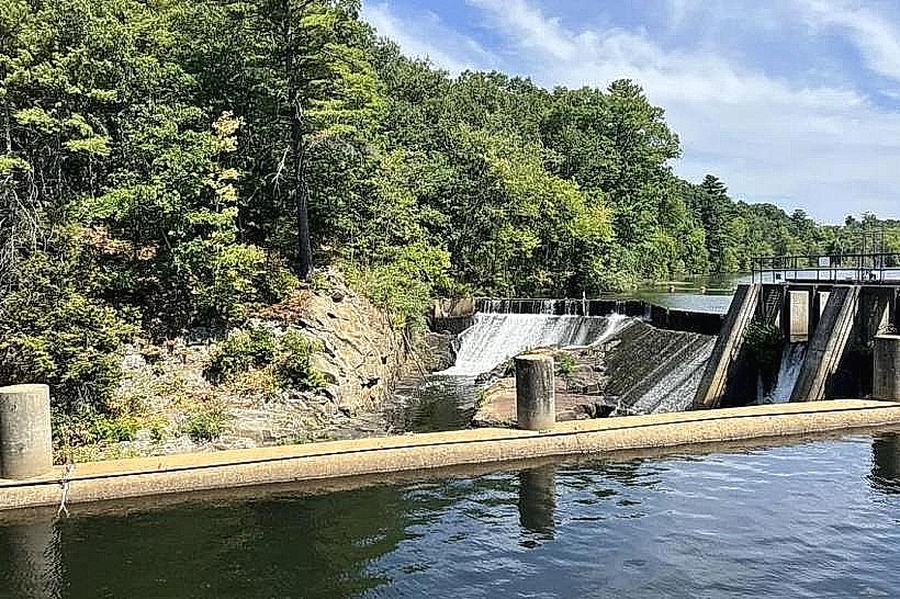
- Mine Falls Park (0.8km West)
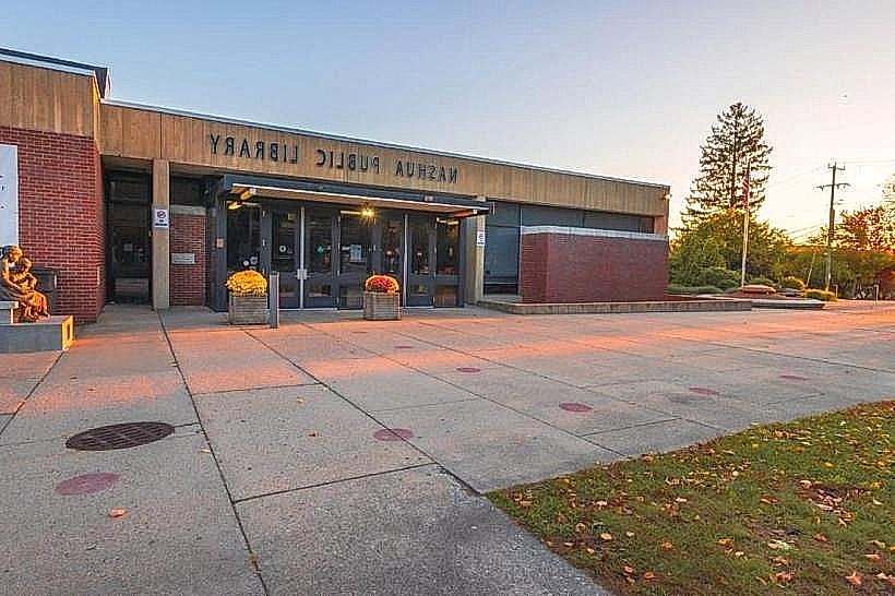
- Nashua Public Library (1.2km Northwest)
- Anheuser-Busch Brewery (2.5km North)
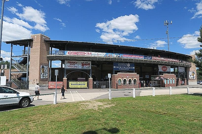
- Everett Arena (1.8km Northwest)
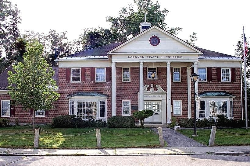
- Downtown Nashua Historic District (1.5km Northwest)