Information
Landmark: Oyapock RiverCity: Regina
Country: French Guiana
Continent: South America
Oyapock River, Regina, French Guiana, South America
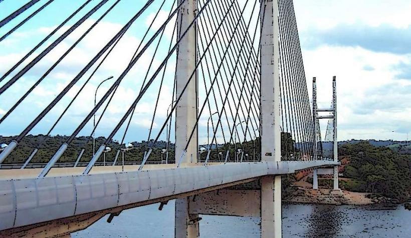
The Oyapock River forms a significant portion of the border between French Guiana and Brazil. It is a major waterway in the Amazon basin.
Visual Characteristics
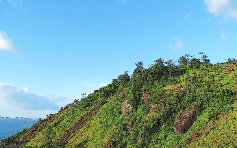
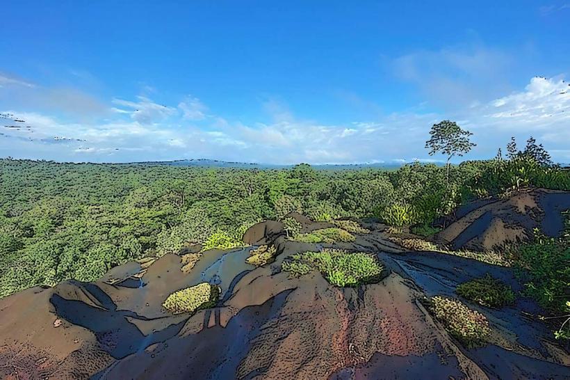
The river's width varies considerably, ranging from approximately 1 kilometer at its mouth to over 10 kilometers during the wet season in its upper reaches. The water color is typically brown due to sediment load from the Amazon basin. The riverbanks are characterized by dense tropical rainforest vegetation, with emergent trees reaching significant heights. The terrain is generally low-lying and subject to seasonal flooding.
Location & Access Logistics
The Oyapock River is located on the easternmost edge of French Guiana. The primary access point for French Guiana is the town of Saint-Georges-de-l'Oyapock, situated on the western bank. This town is approximately 200 kilometers southeast of Cayenne, accessible via the RN2 highway. From Saint-Georges-de-l'Oyapock, river transport is the only means to cross to Oiapoque, Brazil, or to explore the river upstream. There are no public transport services directly on the river itself. Parking is available in Saint-Georges-de-l'Oyapock, though it is often informal.
Historical & Ecological Origin
The Oyapock River is a natural geological formation, part of the larger Amazon River drainage system. Its formation is a result of tectonic activity and erosion over millions of years. Ecologically, it is a freshwater river system supporting a diverse range of aquatic life and bordering a significant area of primary rainforest, contributing to the Amazon biome's biodiversity.
Key Highlights & Activities
River excursions are the primary activity, allowing observation of the rainforest and its wildlife. Fishing is possible in designated areas. Boat transfers between French Guiana and Brazil are a common use. Upstream exploration can reveal smaller tributaries and more remote forest sections.
Infrastructure & Amenities
In Saint-Georges-de-l'Oyapock, basic amenities such as small shops and guesthouses are available. Restrooms are generally found at these establishments. Shade is abundant under the rainforest canopy along the riverbanks. Cell phone signal is intermittent and generally limited to the immediate vicinity of Saint-Georges-de-l'Oyapock.
Best Time to Visit
The dry season, from August to November, offers lower water levels, potentially exposing more riverbanks and facilitating some forms of exploration. The wet season, from January to June, sees higher water levels, making the river more navigable for larger boats and showcasing its full breadth. For photography, early morning and late afternoon provide softer light.
Facts & Legends
The Oyapock River is known for its significant tidal bore, a phenomenon where the incoming tide creates a wave that travels upstream. Local folklore often speaks of river spirits and the challenges of navigating its currents, particularly during periods of high water.
Nearby Landmarks
- Saint-Georges-de-l'Oyapock town center: 0.5km West
- Oiapoque, Brazil: 1km East (across the river)
- Crique Malgache: 10km Northwest (tributary access)
- Parc Amazonien de Guyane (access points): 50km+ West