Information
Landmark: Pancharevo LakeCity: Samokov
Country: Bulgaria
Continent: Europe
Pancharevo Lake, Samokov, Bulgaria, Europe
Pancharevo Lake is an artificial reservoir located in the Iskar River gorge between the Vitosha and Lozen mountains. While associated with the Sofia-Samokov corridor via Route 82, it is situated approximately 40 kilometers north of the town of Samokov and 12 kilometers southeast of the Sofia city center.
Visual Characteristics
The lake is a narrow, elongated body of water characterized by steep, forested embankments and a water surface elevation of 600 meters. The water color varies from dark green to deep blue depending on seasonal algae levels and sediment. The shoreline consists of rocky outcrops, gravel patches, and concrete technical facilities near the dam wall, with dense deciduous and coniferous vegetation extending to the water's edge.
Location & Access Logistics
The lake is positioned along the main road connecting Sofia and Samokov (National Road 82). Public transport access from Sofia is available via bus lines 1, 3, and 4. For visitors traveling from Samokov, the lake is reached by driving north for approximately 45 minutes. Several small, unpaved parking pockets are located along the western shore, while a paved municipal lot serves the northern "Pancharevo" district and the southern "Pasarel" end.
Historical & Ecological Origin
The reservoir was completed in 1956 as part of the Iskar Cascade project, designed to provide industrial water, irrigation, and hydroelectric power. It is fed primarily by the Iskar River. Geologically, it sits in a tectonic depression within the Srednogorie zone. The area is a designated protected zone for various bird species and serves as a local climate regulator for the surrounding Sofia valley.
Key Highlights & Activities
The lake is a primary venue for rowing and kayaking, featuring a 2,200-meter specialized regatta course. The "Pancharevo Panoramic Trail" runs along the eastern shore, providing hiking and mountain biking paths. Mineral water springs are located at the northern end, feeding public thermal baths. Recreational fishing for carp, perch, and catfish is permitted with a valid national license.
Infrastructure & Amenities
The northern shore contains several restaurants, cafes, and specialized rowing clubs. Public restrooms are limited to these private establishments and the municipal bath complex. Cellular coverage (4G/5G) is stable along the western road (Route 82) but may fluctuate on the eastern hiking trails. Benches and waste bins are concentrated near the northern park area and the dam wall.
Best Time to Visit
Photography is optimal during the "golden hour" in the late afternoon when the sun sets behind the Vitosha mountain, reflecting on the water. The rowing season peaks from May to September. For hikers, autumn offers high visibility and colorful foliage. Winter visits are possible, though the lake surface rarely freezes entirely due to the flowing Iskar River current.
Facts & Legends
Pancharevo hosted the 1977 World Rowing Championships, which led to the development of much of its current sporting infrastructure. Local folklore from the nearby villages often mentions "The Sunken Village," a reference to the small settlements and agricultural lands that were flooded during the filling of the reservoir in the mid-1950s.
Nearby Landmarks
Pancharevo Mineral Bath - 0.2km North
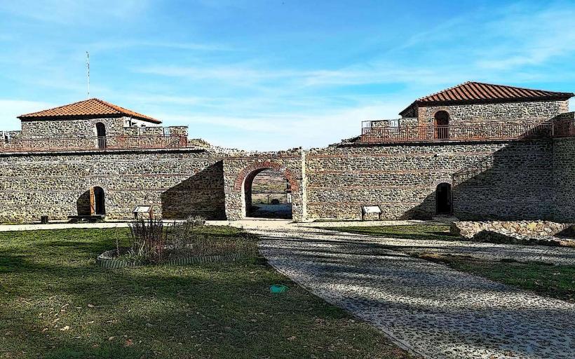
Urwich Medieval Fortress - 4.5km South
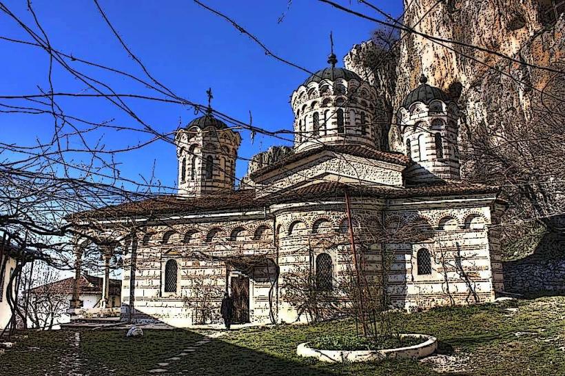
Kokalyane Monastery - 5.0km South
Bells Park (Kambanite) - 4.8km Northwest
Lozen Mountain Trailhead - 1.5km East