Information
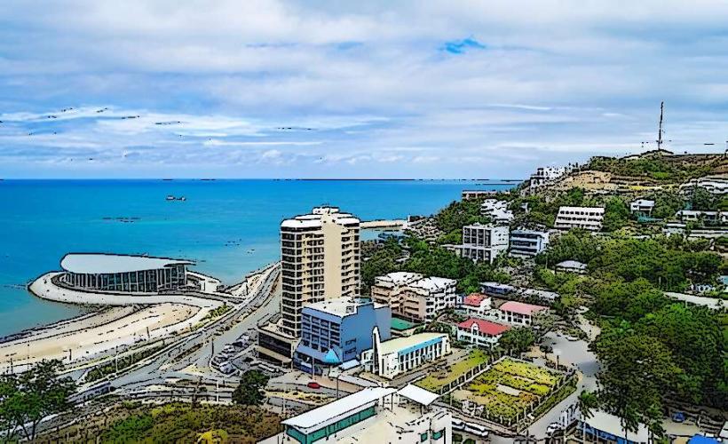
Landmark: Papuan GulfCity: Port Moresby
Country: Papua New Guinea
Continent: Australia
Papuan Gulf, Port Moresby, Papua New Guinea, Australia
The Papuan Gulf is a large indentation on the southern coast of Papua New Guinea. It is situated east of the Fly River delta and west of the Huon Gulf.
Visual Characteristics
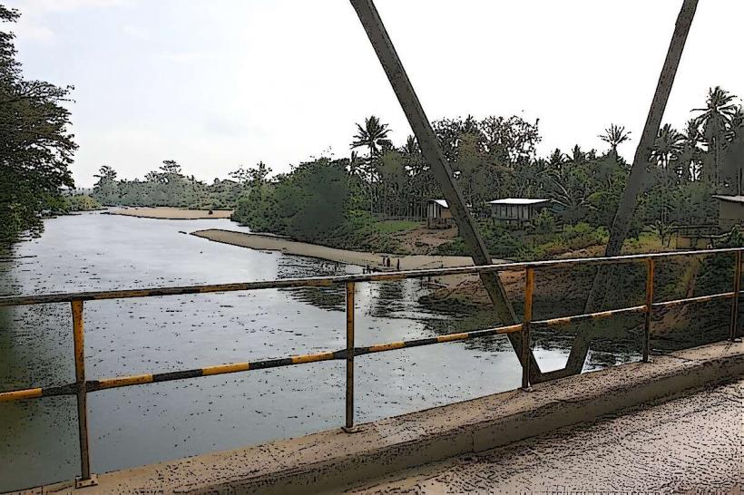
The coastline of the Papuan Gulf is characterized by extensive mangrove forests and low-lying deltas. The waters are generally shallow and can appear silty, particularly near river mouths. The landward side features dense tropical rainforest.
Location & Access Logistics
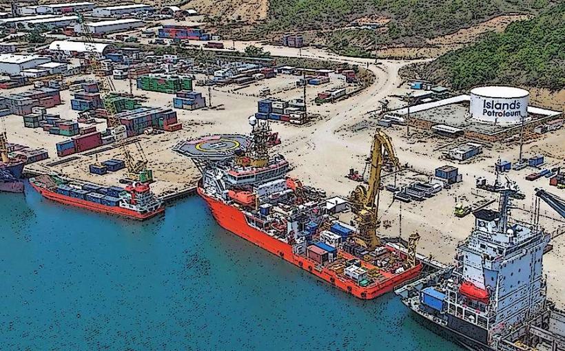
The Papuan Gulf is accessible via sea routes from Port Moresby. The distance from Port Moresby to the western edge of the gulf is approximately 150 kilometers by sea. Land access is limited due to dense vegetation and lack of established road networks. Small boat charters and local fishing vessels are the primary means of transport within the gulf. There are no designated parking facilities for visitors arriving by sea.
Historical & Ecological Origin
The Papuan Gulf is an estuarine environment formed by the deposition of sediment from major rivers, including the Purari, Vailala, and Lakekamu rivers. These rivers have created a complex system of deltas and associated mangrove ecosystems over millennia. Historically, the region has been inhabited by various indigenous groups for thousands of years.
Key Highlights & Activities
Activities include observing mangrove ecosystems, birdwatching, and experiencing local fishing practices. Limited opportunities exist for small boat exploration of river systems feeding into the gulf. Cultural interactions with coastal communities are possible through pre-arranged visits.
Infrastructure & Amenities
Infrastructure and amenities are minimal. There are no public restrooms, shade structures, or food vendors within the gulf itself. Cell phone signal is unreliable and generally absent in most areas. Basic shelter may be available in small coastal villages.
Best Time to Visit
The dry season, from May to October, offers more stable weather conditions for sea travel. The best time of day for observing wildlife is typically early morning or late afternoon. Tidal variations can affect access to certain shallow areas.
Facts & Legends
Local folklore speaks of ancient spirits inhabiting the mangrove waterways, guiding or hindering travelers. A specific navigational tip involves understanding the complex and shifting sandbars that can pose hazards to unfamiliar vessels.
Nearby Landmarks
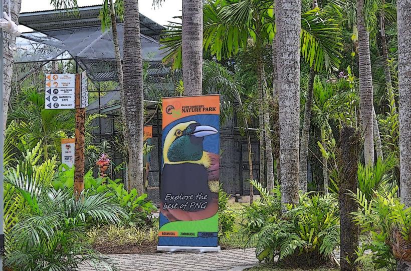
- Port Moresby Nature Park - 140km East
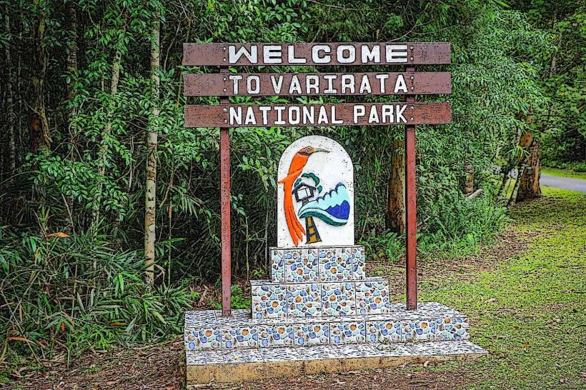
- Varirata National Park - 155km East
- Bomana War Cemetery - 145km East
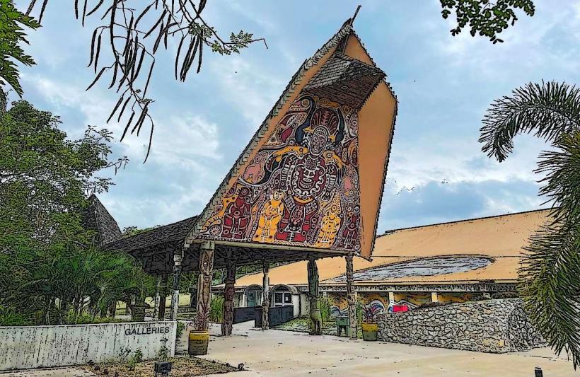
- National Museum and Art Gallery, Port Moresby - 140km East